Deutsch-Chinesische Enzyklopädie, 德汉百科
 Ohio-OH

 Geography
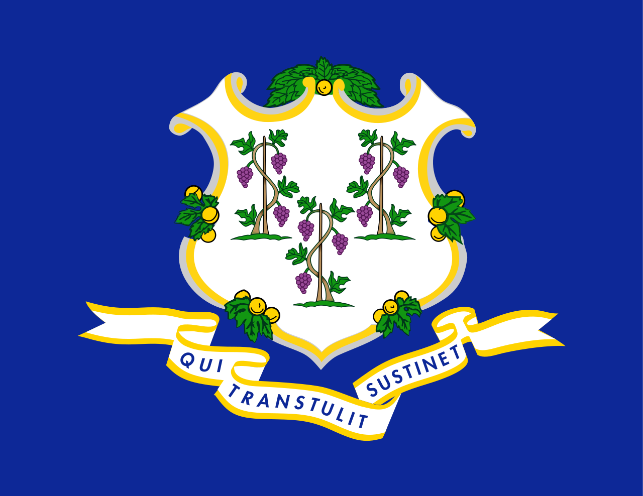 Connecticut-CT
 Georgia-GA
Canada
Georgia-GA
Canada
 Kentucky-KY
 Maine-ME
 Maryland-MD
 Massachusetts-MA
 New Brunswick-NB
 New hampshire-NH
 New York-NY
 Newfoundland and Labrador-NL
 North Carolina-NC
 Nova Scotia-NS
Ohio-OH
Nova Scotia-NS
Ohio-OH
 Pennsylvania-PA
 Quebec-QC
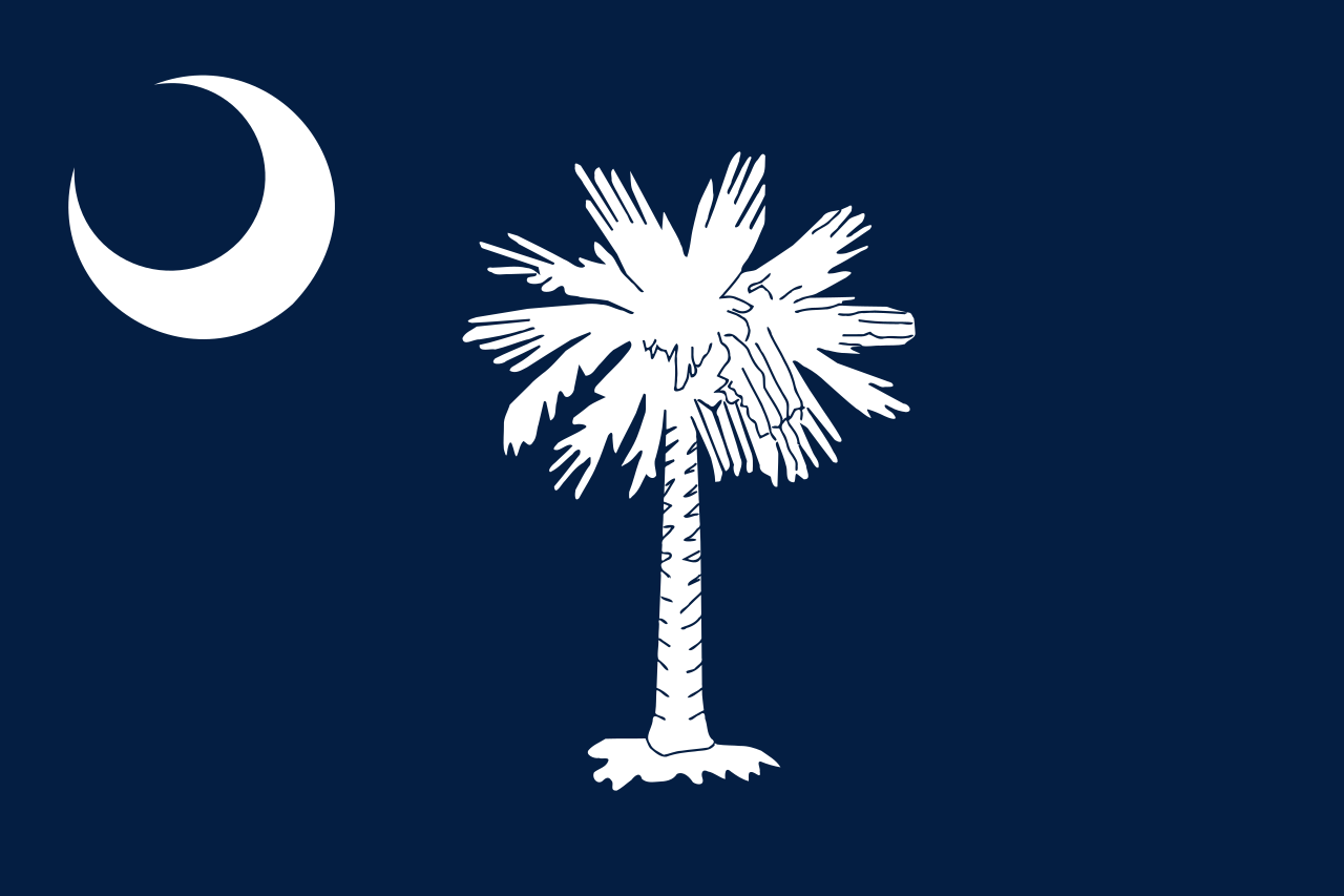 South Carolina-SC
United States
South Carolina-SC
United States
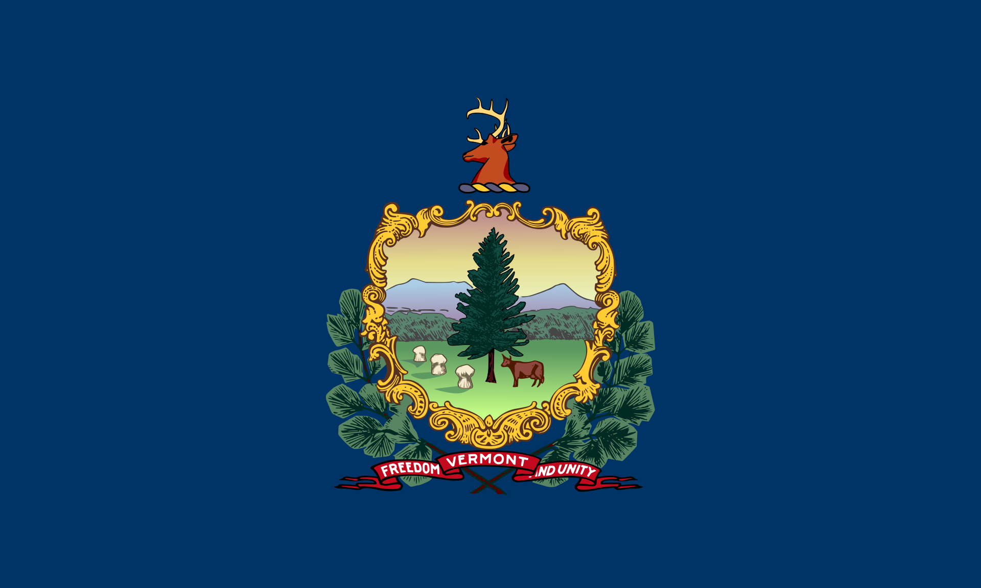 Vermont-VT
 Virginia-VA
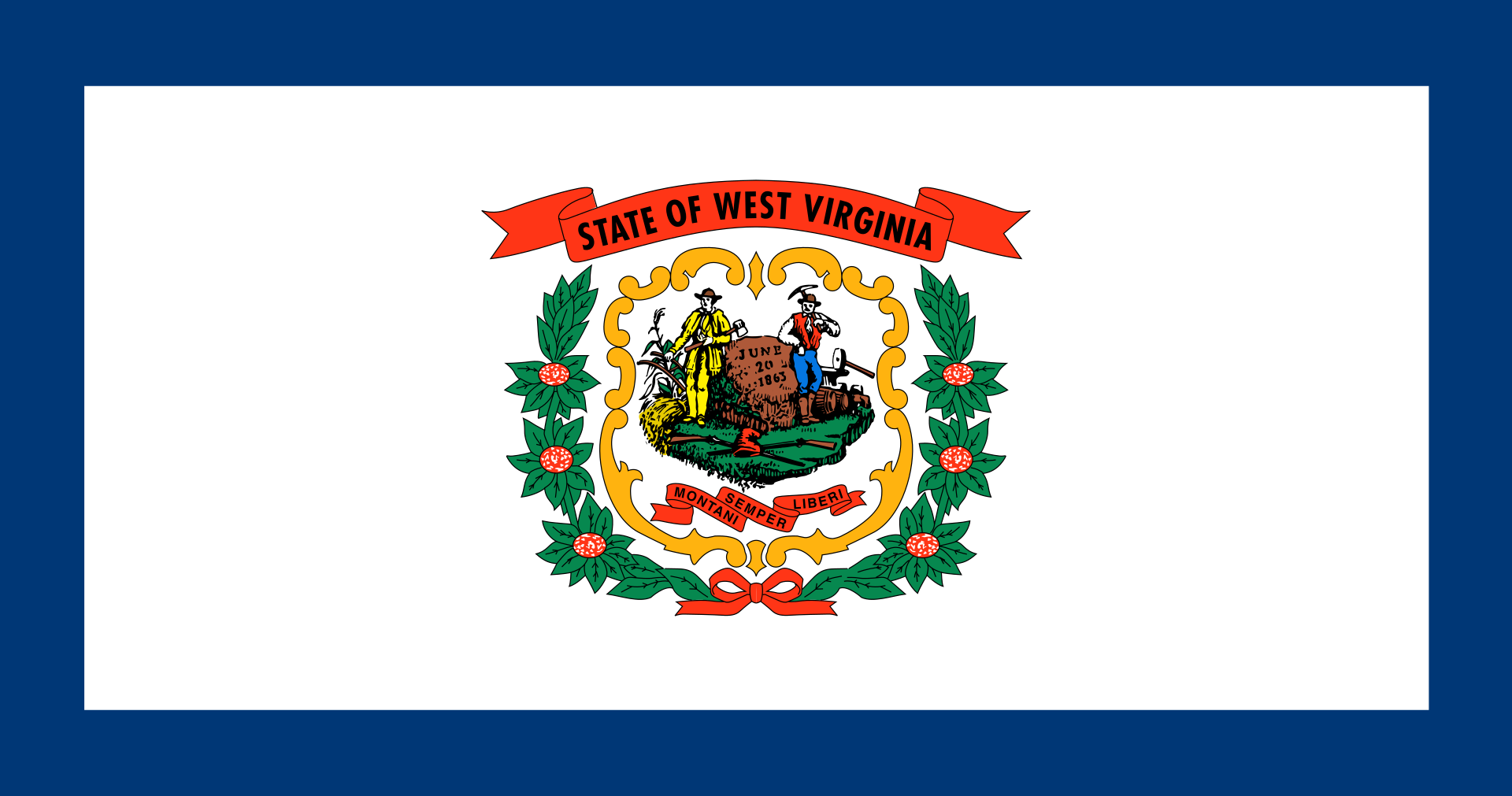 West Virginia-WV
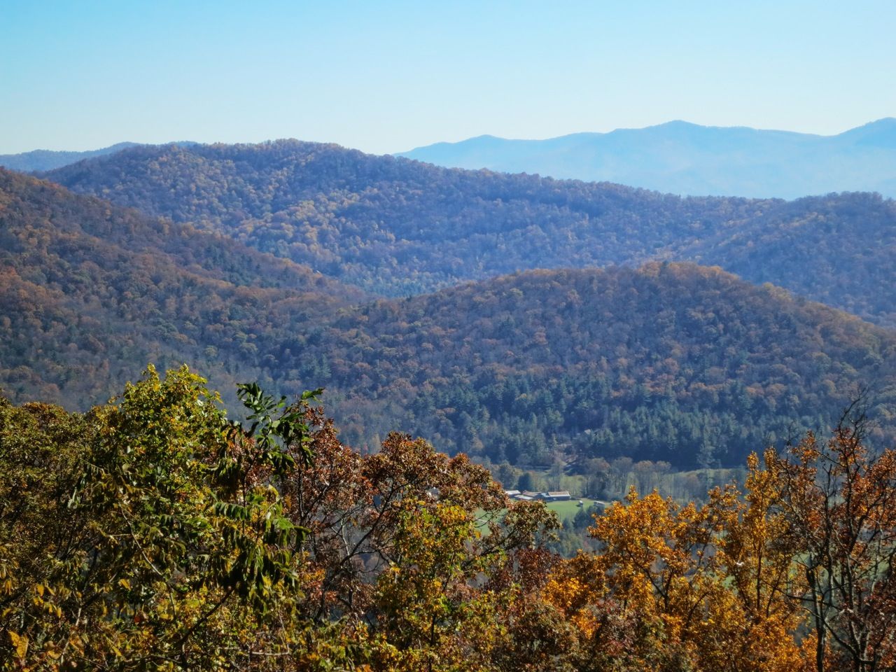
阿巴拉契亚山脉(Appalachian Mountains),又譯阿帕拉契山脉,是北美洲东部的一座山系。南起美国的阿拉巴马州,北至加拿大的纽芬兰和拉布拉多省。最北部余脉则延伸到魁北克的加斯佩地区。最高峰在北卡罗莱纳州的米切尔峰(2037米)。
阿巴拉契亚山脉(英语:Appalachian Mountains),又译阿帕拉契山脉,是北美洲东部的一座山系。南起美国的阿拉巴马州,北至加拿大的纽芬兰和拉布拉多省。最北部余脉则延伸到魁北克的加斯佩地区。最高峰在北卡罗莱纳州的米切尔峰(2037米)。
构成阿巴拉契亚山脉的有纽芬兰省的长岭山、魁北克的圣母山、缅因州的朗费罗山、新罕布夏州的怀特山、佛蒙特州的格林山脉、塔库尼克山;马萨诸塞州的勃克夏山;跨宾夕法尼亚州、马里兰州和西佛吉尼亚州三州的阿勒格尼山脉;跨宾夕法尼亚州、马里兰州、西佛吉尼亚州以及佛吉尼亚州四州的阿巴拉契亚岭谷。还有从宾夕法尼亚州南部到佐治亚州北部的蓝岭山脉。
实际上阿巴拉契高地 严格的边界范围存有争议,阿第伦达克山脉一般被认为是属于加拿大地盾,而非阿巴拉契亚高地。
Die Appalachen (englisch Appalachian Mountains) sind ein bewaldetes Gebirgssystem im Osten Nordamerikas, das sich über eine Länge von 2400 Kilometer von den Long Range Mountains an der Westküste der kanadischen Insel Neufundland bis in den Norden des US-Bundesstaates Alabama erstreckt. Obwohl ihr höchster Gipfel mehr als 2000 Meter hoch ist, haben die Appalachen sowohl hinsichtlich ihrer Höhe als auch ihrer Morphologie einen Mittelgebirgscharakter. Nur wenige Berge erheben sich über mehr als 1200 m Höhe, und viele Bergkuppen bleiben deutlich unter 800 m.
Benannt sind die Appalachen nach dem indigenen Stamm der Apalachee. Für die Appalachenregion als Kultur- und Wirtschaftsraum wird auch die Bezeichnung Appalachia verwendet.[1]
アパラチア山脈(Appalachian Mountains)は、カナダ及びアメリカ合衆国東北部に位置し、北東から南西方向に全長約2,600kmにわたって延びる丘陵・山脈。狭義では、そのうちのウエストバージニア州、バージニア州、ケンタッキー州、テネシー州、ノースカロライナ州等の南側の部分のみを指すこともある。
複雑に褶曲した山脈で、侵食が進んだ丘陵性の古い山脈である。北端はカナダニューファンドランド島で、そこから北アメリカ大陸東部を南西方向に縦断し、南端はアラバマ州の中央に至る。また、その裾野はミシシッピ州北西部にまで及んでいる。個々の山の標高は平均して1,000m前後で、最高峰はノースカロライナ州にあるミッチェル山(標高2,037m)。
山脈の西部では石油・石炭が盛んに採掘されているなど地下資源が豊富。山脈の東側には都市が発達している。国立公園が多く、グレート・スモーキー山脈国立公園やシェナンドー国立公園が有名である。
The Appalachian Mountains,[a] often called the Appalachians, are a system of mountains in eastern North America. The Appalachians first formed roughly 480 million years ago during the Ordovician Period. They once reached elevations similar to those of the Alps and the Rocky Mountains before experiencing natural erosion.[4][5] The Appalachian chain is a barrier to east–west travel, as it forms a series of alternating ridgelines and valleys oriented in opposition to most highways and railroads running east–west.
Definitions vary on the precise boundaries of the Appalachians. The United States Geological Survey (USGS) defines the Appalachian Highlands physiographic division as consisting of thirteen provinces: the Atlantic Coast Uplands, Eastern Newfoundland Atlantic, Maritime Acadian Highlands, Maritime Plain, Notre Dame and Mégantic Mountains, Western Newfoundland Mountains, Piedmont, Blue Ridge, Valley and Ridge, Saint Lawrence Valley, Appalachian Plateaus, New England province, and the Adirondack areas.[6][7] A common variant definition does not include the Adirondack Mountains, which geologically belong to the Grenville Orogeny and have a different geological history from the rest of the Appalachians.[8][9][10]
Les Appalaches sont une chaîne de montagnes située dans l'Est de l'Amérique du Nord et s'étendant de Terre-Neuve (Canada), au nord, jusqu'au centre de l'État de l'Alabama, au sud (États-Unis). Elle culmine au mont Mitchell (2 037 mètres) en Caroline du Nord.
Les Appalaches séparent la plaine côtière atlantique (à l'est) du bassin du fleuve Mississippi et des Grands Lacs (à l'ouest). Elles s'étirent sur près de 2 000 km de longueur.
L'exploitation du charbon, qui fournit la moitié de l'électricité américaine, y a fortement périclité, et l'industrie métallurgique est en grande difficulté.
Les Appalaches ont donné leur nom à un type de relief, le relief appalachien, qui désigne les vestiges d'une ancienne montagne fortement arasée. De longs couloirs s'étendent parallèlement à des échines rectilignes. Les cluses appalachiennes forment des passages étroits à travers les chaînons de la montagne.
Le Sentier des Appalaches (AT) parcourt les sommets de la chaîne depuis le Maine jusqu'à la Géorgie et le Sentier international des Appalaches (SIA - IAT) passe par les sommets du nord du Maine jusqu'au cap Gaspé, en Gaspésie. Leur point d'intersection est le sommet du mont Katahdin.
Gli Appalachi (AFI: /appaˈlaki/) o Appalaci (/appaˈlaʧi/[1]; in inglese Appalachian Mountains, in francese Appalaches) sono una catena montuosa situata nella parte orientale dell'America del Nord.
Si sviluppa, quasi parallelamente alla costa orientale atlantica, dal golfo del fiume San Lorenzo fino all'Alabama, per almeno 2500 km con picchi non molto elevati (i più alti sono con 2037 m il monte Mitchell e con 1917 m il monte Washington). Gli Appalachi riguardano anche l'isola di Terranova (Canada) e l'isola francese di Miquelon parte della collettività territoriale di Saint-Pierre e Miquelon[2][3]. La porzione sud degli Appalachi viene chiamata monti Unakas.
Per via dell'età geologica, gli Appalachi sono la catena montuosa più vecchia delle Americhe. Gli Appalachi statunitensi sono una delle zone economicamente più depresse degli Stati Uniti.
Apalaches o montes Apalaches (en inglés: Appalachian Mountains o Appalachians; en francés: Appalaches1) es una importante cordillera ubicada en el este de Norteamérica. Se extiende desde la Isla de Terranova en Canadá, pasado por la colectividad de ultramar francés de San Pedro y Miquelón, hasta Alabama en los Estados Unidos, aunque su parte más septentrional termina en la península de Gaspé, en Quebec. Constituye el elemento morfológico más sobresaliente de la parte oriental de América del Norte.
Se originó en antiguas montañas formadas en el periodo Paleozoico con relieves suavizados por la prolongada acción de los agentes exógenos. El sistema está dividido en una serie de cordilleras, en las que la medida de altura de los picos es de unos 1000 m s. n. m. (metros sobre el nivel del mar). La cima más elevada es el monte Mitchell, en Carolina del Norte, mide 2037 m s. n. m. y es el punto más alto de los Estados Unidos al este del río Misisipi y de todo el este de Norteamérica.
Аппала́чи[2] (англ. Appalachian Mountains) — горная система на востоке Северной Америки, в США и Канаде. Длина — 2600 км.
Северные Аппалачи (к северу от рек Мохок и Гудзон) — холмистое плоскогорье с отдельными массивами высотой до 1916 м (гора Вашингтон), имеют следы древнего оледенения. Южные Аппалачи в осевой зоне состоят из параллельных хребтов и массивов, разделённых широкими долинами; к осевой зоне прилегают с востока плато Пидмонт, с запада — Аппалачское плато. Высота — до 2037 м (гора Митчелл). В горах имеются месторождения каменного угля, нефти и газа, железных руд, титана; широколиственные, хвойные и смешанные леса.
Горы образовались в пермский период в результате столкновения двух материков (возникновение Пангеи).
 Companies

 IT-Times
 Precision Instrument/Medical Equipment/Research Equipment
 Medical, Pharmaceutical, Rehabilitation
Medical Equipment
Ohio-OH
United States
Medical, Pharmaceutical, Rehabilitation
Medical Equipment
Ohio-OH
United States

 Science and technology
Nobel prize
Nobel prize
Nobel Prize in Chemistry
Nobel prize
Nobel Prize in Physics
Nobel prize
Nobel Prize in Physiology or Medicine
Nobel prize
Nobel Memorial Prize in Economic Sciences
Nobel prize
University/Institute
Ohio-OH
Science and technology
Nobel prize
Nobel prize
Nobel Prize in Chemistry
Nobel prize
Nobel Prize in Physics
Nobel prize
Nobel Prize in Physiology or Medicine
Nobel prize
Nobel Memorial Prize in Economic Sciences
Nobel prize
University/Institute
Ohio-OH
 Universities in the USA

 Theme park


 International cities

辛辛那堤(英语:Cincinnati,/ˌsɪnsɪˈnæti/)是美国俄亥俄州汉密尔顿县的县府。辛辛那堤建立于1788年,位于俄亥俄州与肯塔基州边界的俄亥俄河北岸,靠近印第安纳州。在2010年的人口普查中,该市的城市居民人口数为296,954人,是俄亥俄州第三大的城市。据2010年美国人口普查,辛辛那堤城市圈人口数已达2,172,191人,是全美排名第28的都会区,也是俄亥俄州最大的都会区。
19世纪初期,辛辛那堤是中部地区第一个能与沿海大城市在面积和财力上一较高下的新兴城市。作为美国首个内陆大都市,辛辛那堤被看作是第一个纯粹的美国城。早期的辛辛那堤市没有多少欧洲移民居住,也没有像其他东部城市一样受到欧洲移民太多的影响。然而,19世纪末期,随着交通方式由蒸汽船运输向铁路运输转变,辛辛那堤市的发展速度急剧放缓,该市的人口数量和州内影响力也被另一个内陆城市-芝加哥超越。
辛辛那堤有两支职业球队,MLB辛辛那堤红人和NFL辛辛那堤孟加拉虎(过去还有NBA辛辛那堤皇家,但今日已搬迁至萨克拉门托,并更名为国王)。除此之外,辛辛那堤还是重大的网球巡回赛“辛辛那堤大师赛”的举办地。该市还举办了其他许多大型赛事及活动,如“飞猪马拉松大赛”、“俄亥俄山谷音乐节”、“感恩节赛跑”等等。辛辛那堤大学的前身是始建于1819年的俄亥俄医学院。
辛辛那堤因拥有种类繁多的古建筑而闻名。越莱茵河区位于市中心以北,此处有全美国数量最多的意大利式建筑,可以与纽约、维也纳和慕尼黑的历史街区在面积和布局上相媲美。19世纪末期,辛辛那堤因为其宏伟壮观的建筑群被称作美国的巴黎,这些著名古建筑包括音乐厅、辛辛那堤酒店,希利托百货等等。越莱茵河区主要于1850年至1900年建成,多年来一直是德国移民的生活中心,是被美国国家史迹名录收录的最大历史胜地之一。
Cincinnati [ˌsɪnsɪˈnætɪ] (deutschsprachig veraltet Zinzinnati) im US-Bundesstaat Ohio ist eine der bedeutendsten Handels- und Fabrikstädte der Vereinigten Staaten, genannt die „Königin des Westens“. Sie ist Verwaltungssitz des Hamilton County. Bei der Volkszählung 2020 hatte sie 309.317 Einwohner.[1] Der Großraum Cincinnati reicht bis in die benachbarten Bundesstaaten Kentucky und Indiana und hat annähernd zwei Millionen Einwohner.
 Sport
American Football Conference AFC
North
National Football League 2015
National Football League 2016
National Football League 2017
National Football League 2018
American Football Conference,AFC
National Football League 2018
AFC North
Ohio-OH
Sport
American Football Conference AFC
North
National Football League 2015
National Football League 2016
National Football League 2017
National Football League 2018
American Football Conference,AFC
National Football League 2018
AFC North
Ohio-OH

 Music
Music
 Architecture


 American Football Conference AFC
North
National Football League 2015
National Football League 2016
National Football League 2017
National Football League 2018
American Football Conference,AFC
National Football League 2018
AFC North
Ohio-OH
American Football Conference AFC
North
National Football League 2015
National Football League 2016
National Football League 2017
National Football League 2018
American Football Conference,AFC
National Football League 2018
AFC North
Ohio-OH