
Deutsch-Chinesische Enzyklopädie, 德汉百科
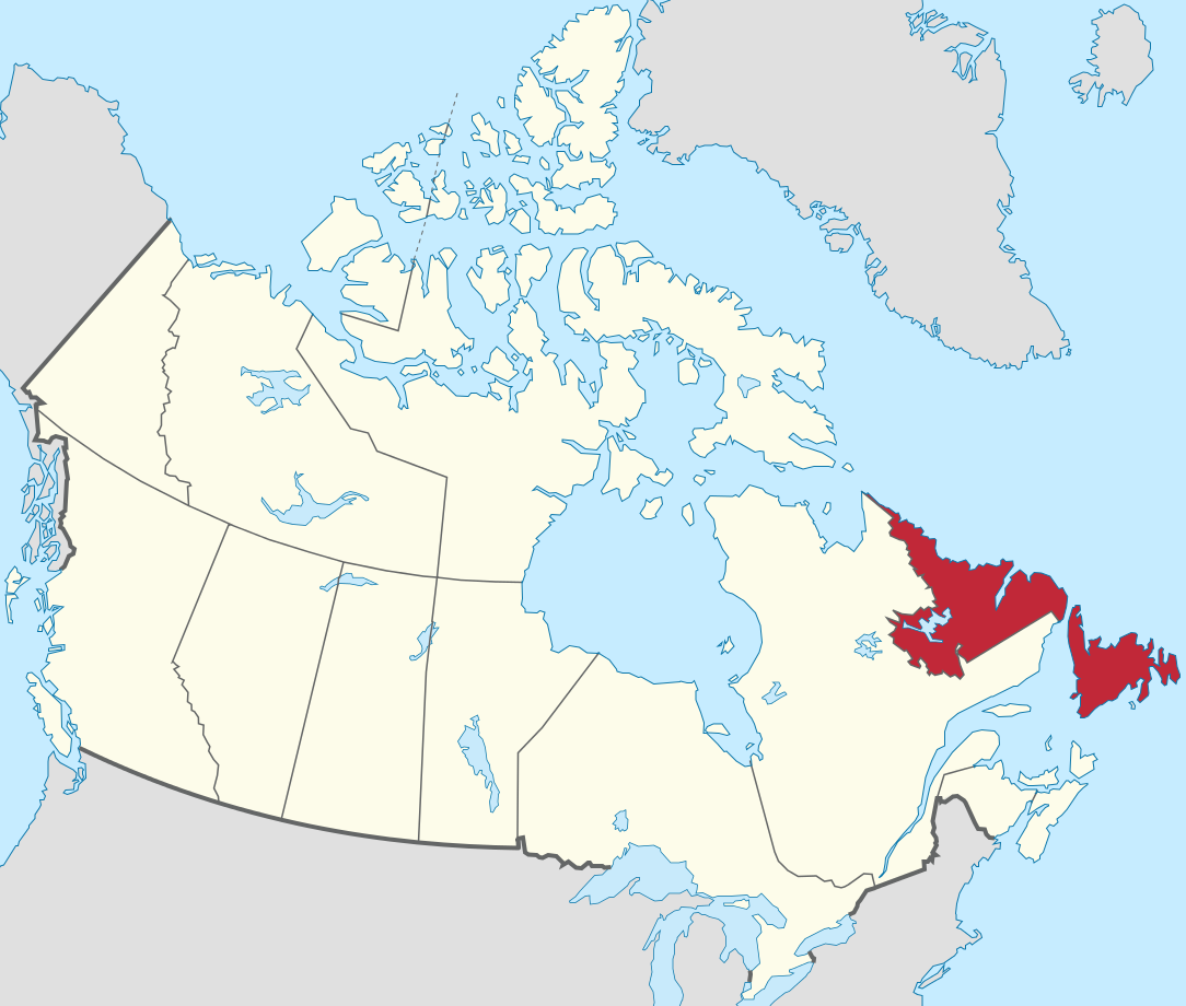
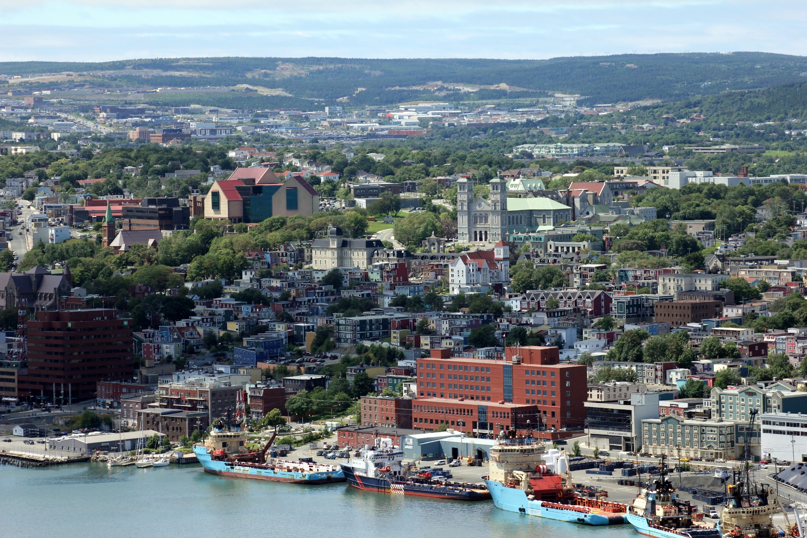
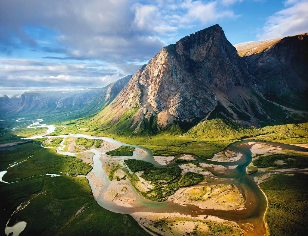
 Newfoundland and Labrador-NL

 Geography

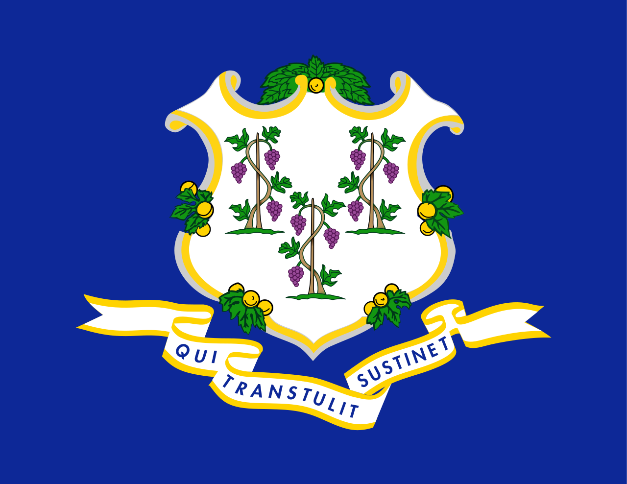 Connecticut-CT
 Georgia-GA
Canada
Georgia-GA
Canada
 Kentucky-KY
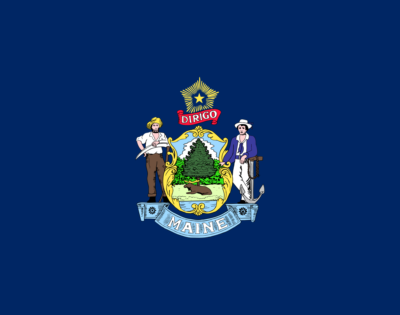 Maine-ME
 Maryland-MD
 Massachusetts-MA
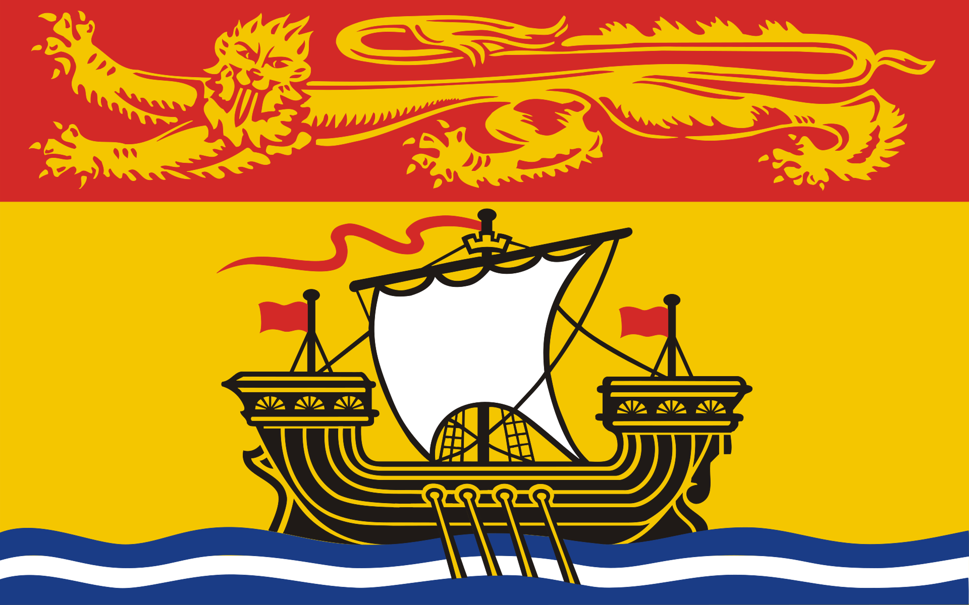 New Brunswick-NB
 New hampshire-NH
 New York-NY
Newfoundland and Labrador-NL
New York-NY
Newfoundland and Labrador-NL
 North Carolina-NC
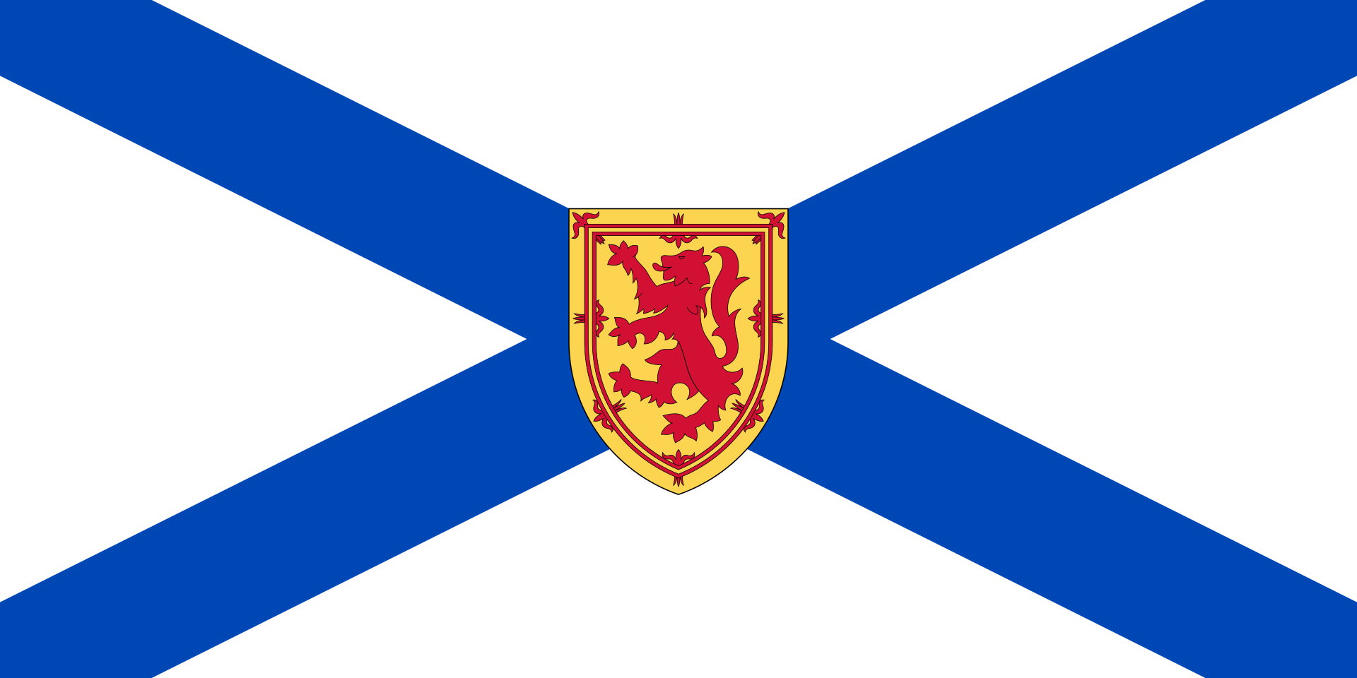 Nova Scotia-NS
 Ohio-OH
 Pennsylvania-PA
 Quebec-QC
 South Carolina-SC
United States
South Carolina-SC
United States
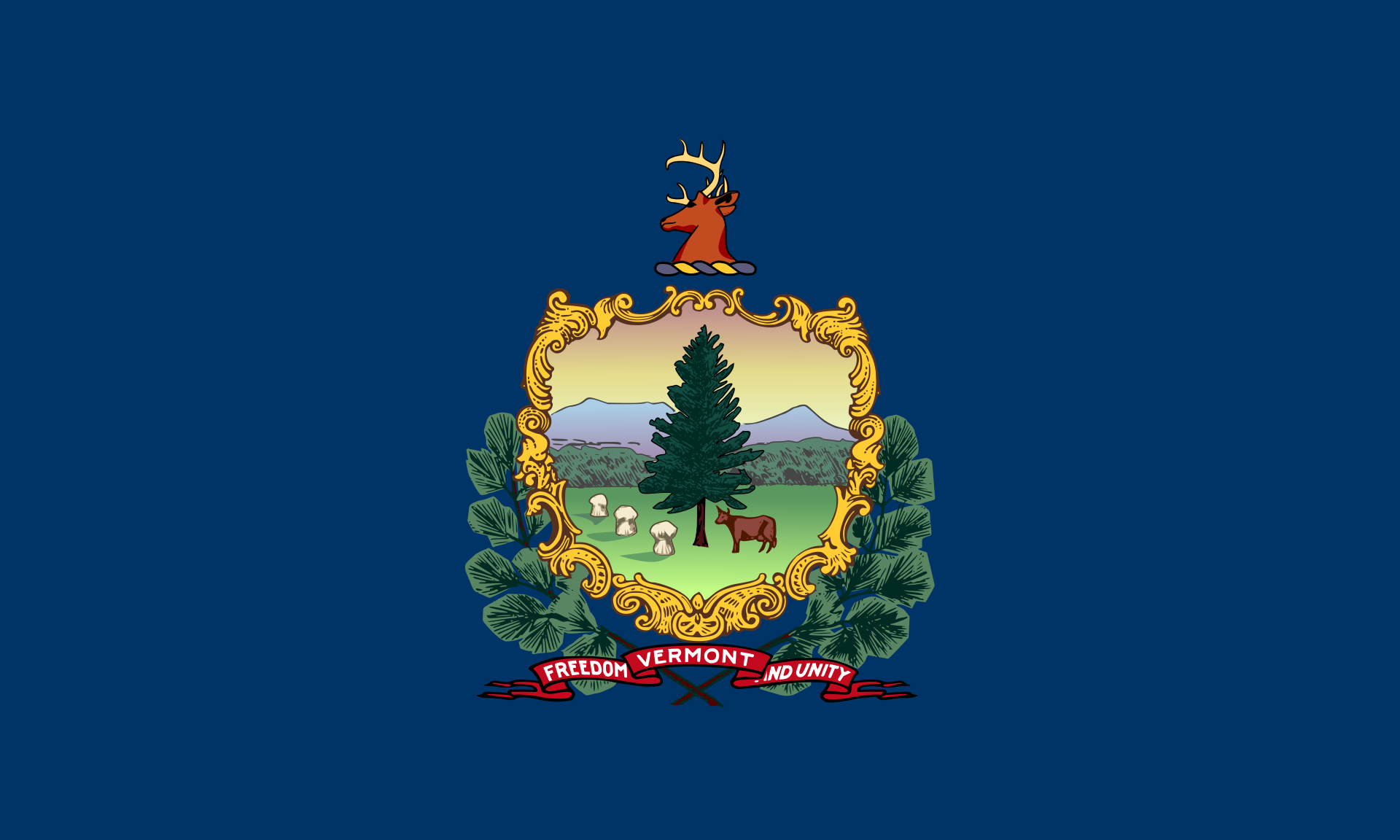 Vermont-VT
 Virginia-VA
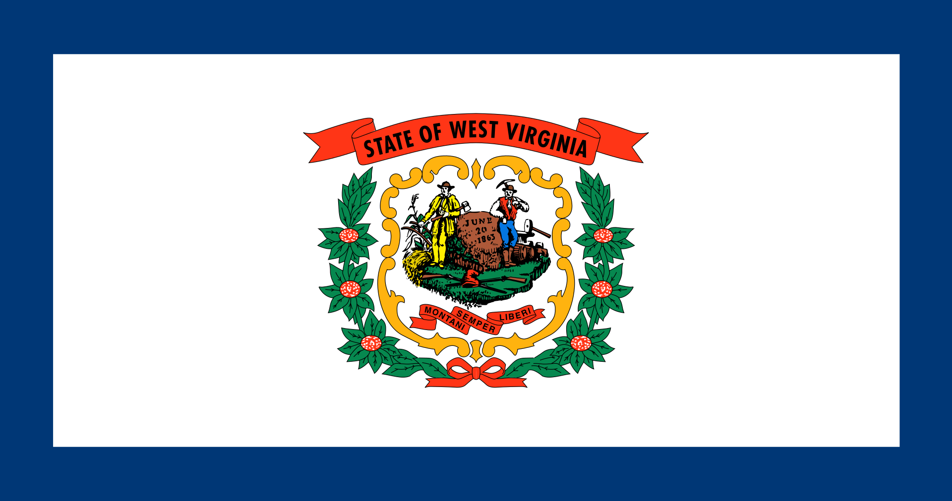 West Virginia-WV
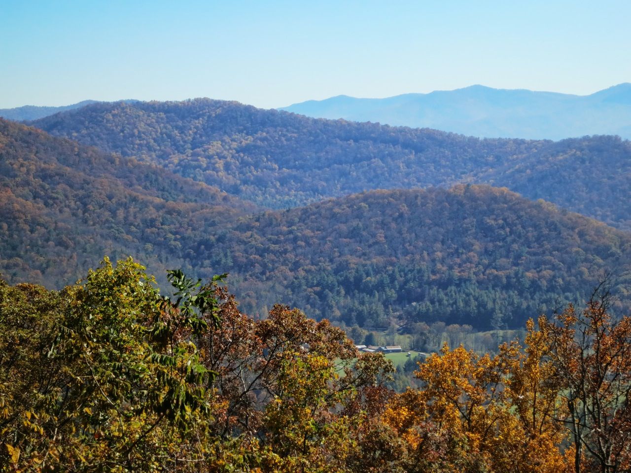
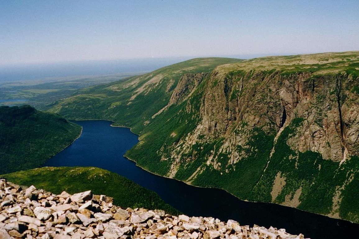
阿巴拉契亚山脉(Appalachian Mountains),又譯阿帕拉契山脉,是北美洲东部的一座山系。南起美国的阿拉巴马州,北至加拿大的纽芬兰和拉布拉多省。最北部余脉则延伸到魁北克的加斯佩地区。最高峰在北卡罗莱纳州的米切尔峰(2037米)。
阿巴拉契亚山脉(英语:Appalachian Mountains),又译阿帕拉契山脉,是北美洲东部的一座山系。南起美国的阿拉巴马州,北至加拿大的纽芬兰和拉布拉多省。最北部余脉则延伸到魁北克的加斯佩地区。最高峰在北卡罗莱纳州的米切尔峰(2037米)。
构成阿巴拉契亚山脉的有纽芬兰省的长岭山、魁北克的圣母山、缅因州的朗费罗山、新罕布夏州的怀特山、佛蒙特州的格林山脉、塔库尼克山;马萨诸塞州的勃克夏山;跨宾夕法尼亚州、马里兰州和西佛吉尼亚州三州的阿勒格尼山脉;跨宾夕法尼亚州、马里兰州、西佛吉尼亚州以及佛吉尼亚州四州的阿巴拉契亚岭谷。还有从宾夕法尼亚州南部到佐治亚州北部的蓝岭山脉。
实际上阿巴拉契高地 严格的边界范围存有争议,阿第伦达克山脉一般被认为是属于加拿大地盾,而非阿巴拉契亚高地。
Die Appalachen (englisch Appalachian Mountains) sind ein bewaldetes Gebirgssystem im Osten Nordamerikas, das sich über eine Länge von 2400 Kilometer von den Long Range Mountains an der Westküste der kanadischen Insel Neufundland bis in den Norden des US-Bundesstaates Alabama erstreckt. Obwohl ihr höchster Gipfel mehr als 2000 Meter hoch ist, haben die Appalachen sowohl hinsichtlich ihrer Höhe als auch ihrer Morphologie einen Mittelgebirgscharakter. Nur wenige Berge erheben sich über mehr als 1200 m Höhe, und viele Bergkuppen bleiben deutlich unter 800 m.
Benannt sind die Appalachen nach dem indigenen Stamm der Apalachee. Für die Appalachenregion als Kultur- und Wirtschaftsraum wird auch die Bezeichnung Appalachia verwendet.[1]
アパラチア山脈(Appalachian Mountains)は、カナダ及びアメリカ合衆国東北部に位置し、北東から南西方向に全長約2,600kmにわたって延びる丘陵・山脈。狭義では、そのうちのウエストバージニア州、バージニア州、ケンタッキー州、テネシー州、ノースカロライナ州等の南側の部分のみを指すこともある。
複雑に褶曲した山脈で、侵食が進んだ丘陵性の古い山脈である。北端はカナダニューファンドランド島で、そこから北アメリカ大陸東部を南西方向に縦断し、南端はアラバマ州の中央に至る。また、その裾野はミシシッピ州北西部にまで及んでいる。個々の山の標高は平均して1,000m前後で、最高峰はノースカロライナ州にあるミッチェル山(標高2,037m)。
山脈の西部では石油・石炭が盛んに採掘されているなど地下資源が豊富。山脈の東側には都市が発達している。国立公園が多く、グレート・スモーキー山脈国立公園やシェナンドー国立公園が有名である。
The Appalachian Mountains,[a] often called the Appalachians, are a system of mountains in eastern North America. The Appalachians first formed roughly 480 million years ago during the Ordovician Period. They once reached elevations similar to those of the Alps and the Rocky Mountains before experiencing natural erosion.[4][5] The Appalachian chain is a barrier to east–west travel, as it forms a series of alternating ridgelines and valleys oriented in opposition to most highways and railroads running east–west.
Definitions vary on the precise boundaries of the Appalachians. The United States Geological Survey (USGS) defines the Appalachian Highlands physiographic division as consisting of thirteen provinces: the Atlantic Coast Uplands, Eastern Newfoundland Atlantic, Maritime Acadian Highlands, Maritime Plain, Notre Dame and Mégantic Mountains, Western Newfoundland Mountains, Piedmont, Blue Ridge, Valley and Ridge, Saint Lawrence Valley, Appalachian Plateaus, New England province, and the Adirondack areas.[6][7] A common variant definition does not include the Adirondack Mountains, which geologically belong to the Grenville Orogeny and have a different geological history from the rest of the Appalachians.[8][9][10]
Les Appalaches sont une chaîne de montagnes située dans l'Est de l'Amérique du Nord et s'étendant de Terre-Neuve (Canada), au nord, jusqu'au centre de l'État de l'Alabama, au sud (États-Unis). Elle culmine au mont Mitchell (2 037 mètres) en Caroline du Nord.
Les Appalaches séparent la plaine côtière atlantique (à l'est) du bassin du fleuve Mississippi et des Grands Lacs (à l'ouest). Elles s'étirent sur près de 2 000 km de longueur.
L'exploitation du charbon, qui fournit la moitié de l'électricité américaine, y a fortement périclité, et l'industrie métallurgique est en grande difficulté.
Les Appalaches ont donné leur nom à un type de relief, le relief appalachien, qui désigne les vestiges d'une ancienne montagne fortement arasée. De longs couloirs s'étendent parallèlement à des échines rectilignes. Les cluses appalachiennes forment des passages étroits à travers les chaînons de la montagne.
Le Sentier des Appalaches (AT) parcourt les sommets de la chaîne depuis le Maine jusqu'à la Géorgie et le Sentier international des Appalaches (SIA - IAT) passe par les sommets du nord du Maine jusqu'au cap Gaspé, en Gaspésie. Leur point d'intersection est le sommet du mont Katahdin.
Gli Appalachi (AFI: /appaˈlaki/) o Appalaci (/appaˈlaʧi/[1]; in inglese Appalachian Mountains, in francese Appalaches) sono una catena montuosa situata nella parte orientale dell'America del Nord.
Si sviluppa, quasi parallelamente alla costa orientale atlantica, dal golfo del fiume San Lorenzo fino all'Alabama, per almeno 2500 km con picchi non molto elevati (i più alti sono con 2037 m il monte Mitchell e con 1917 m il monte Washington). Gli Appalachi riguardano anche l'isola di Terranova (Canada) e l'isola francese di Miquelon parte della collettività territoriale di Saint-Pierre e Miquelon[2][3]. La porzione sud degli Appalachi viene chiamata monti Unakas.
Per via dell'età geologica, gli Appalachi sono la catena montuosa più vecchia delle Americhe. Gli Appalachi statunitensi sono una delle zone economicamente più depresse degli Stati Uniti.
Apalaches o montes Apalaches (en inglés: Appalachian Mountains o Appalachians; en francés: Appalaches1) es una importante cordillera ubicada en el este de Norteamérica. Se extiende desde la Isla de Terranova en Canadá, pasado por la colectividad de ultramar francés de San Pedro y Miquelón, hasta Alabama en los Estados Unidos, aunque su parte más septentrional termina en la península de Gaspé, en Quebec. Constituye el elemento morfológico más sobresaliente de la parte oriental de América del Norte.
Se originó en antiguas montañas formadas en el periodo Paleozoico con relieves suavizados por la prolongada acción de los agentes exógenos. El sistema está dividido en una serie de cordilleras, en las que la medida de altura de los picos es de unos 1000 m s. n. m. (metros sobre el nivel del mar). La cima más elevada es el monte Mitchell, en Carolina del Norte, mide 2037 m s. n. m. y es el punto más alto de los Estados Unidos al este del río Misisipi y de todo el este de Norteamérica.
Аппала́чи[2] (англ. Appalachian Mountains) — горная система на востоке Северной Америки, в США и Канаде. Длина — 2600 км.
Северные Аппалачи (к северу от рек Мохок и Гудзон) — холмистое плоскогорье с отдельными массивами высотой до 1916 м (гора Вашингтон), имеют следы древнего оледенения. Южные Аппалачи в осевой зоне состоят из параллельных хребтов и массивов, разделённых широкими долинами; к осевой зоне прилегают с востока плато Пидмонт, с запада — Аппалачское плато. Высота — до 2037 м (гора Митчелл). В горах имеются месторождения каменного угля, нефти и газа, железных руд, титана; широколиственные, хвойные и смешанные леса.
Горы образовались в пермский период в результате столкновения двух материков (возникновение Пангеи).
 Animal world
 Music
Music


 Military, defense and equipment

 International cities
 Transport and traffic
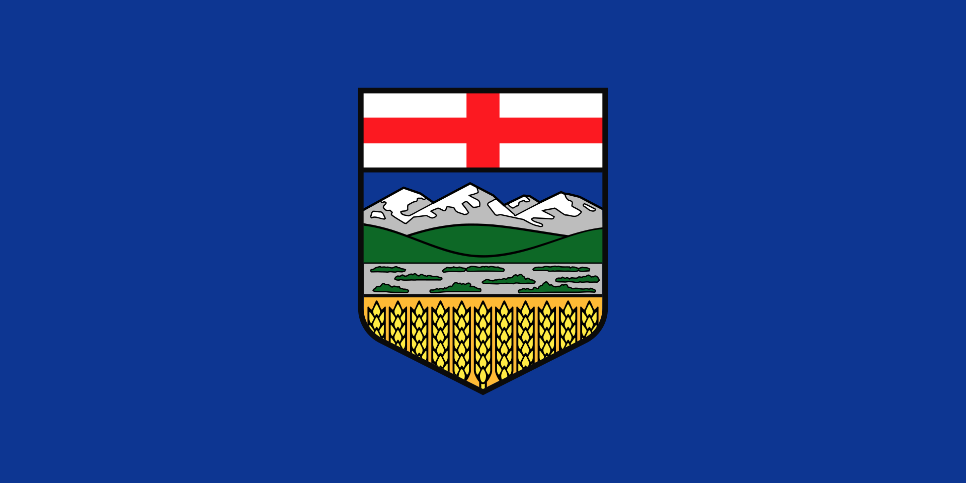 Alberta-AB
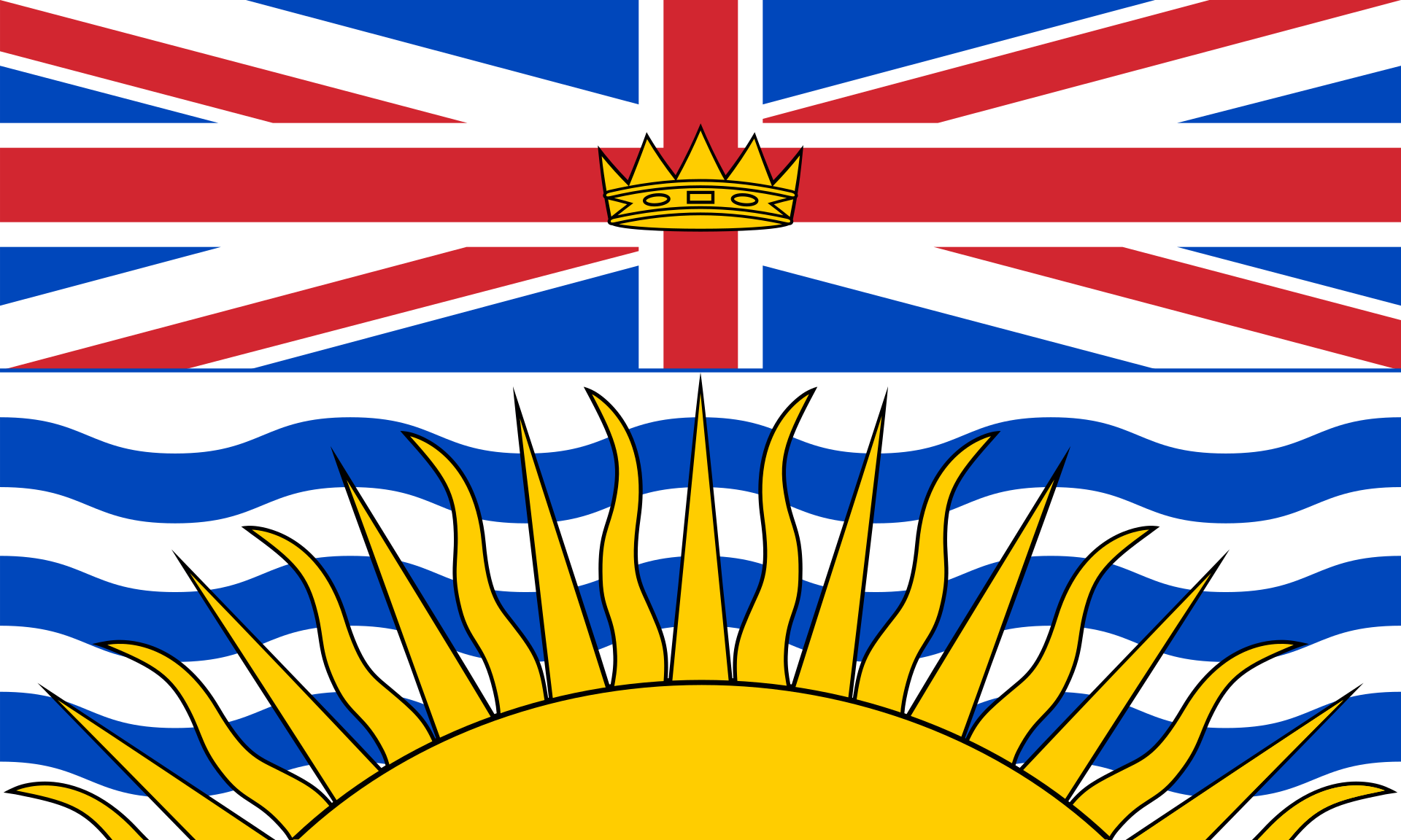 British Columbia-BC
Canada
British Columbia-BC
Canada
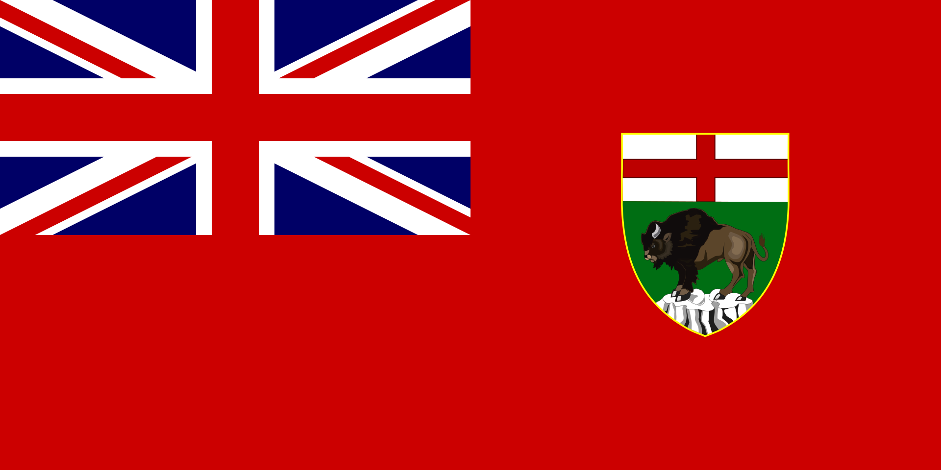 Manitoba-MB
New Brunswick-NB
Newfoundland and Labrador-NL
Nova Scotia-NS
Manitoba-MB
New Brunswick-NB
Newfoundland and Labrador-NL
Nova Scotia-NS
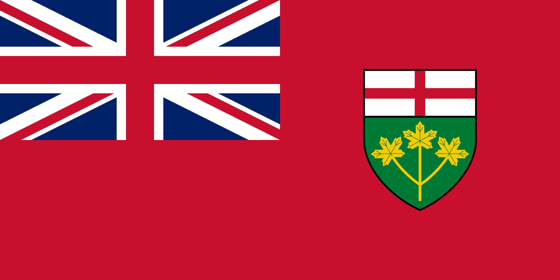 Ontario-ON
Quebec-QC
Ontario-ON
Quebec-QC
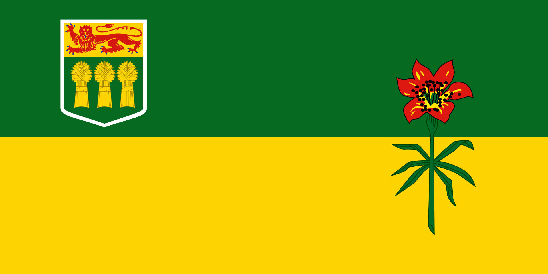 Saskatchewan-SK
加拿大横贯公路 (英语:Trans-Canada Highway,法语:Route Transcanadienne),又称横加公路,是一个自西向东横贯加拿大全部十个省的公路系统。主线西起不列颠哥伦比亚省的省会维多利亚,东至纽芬兰和拉布拉多省的省会圣约翰斯,全长8,030公里[3]。系统另有数条支线,例如连接温尼伯和夏洛特皇后群岛的耶洛黑德公路。
《加拿大横贯公路法案》 (Trans-Canada Highway Act)在1948年获议会通过[4]。工程于1950年开始,[5]1962年启用,1971年完工。
由于加拿大国内公路系统的建造和管理都是由各省政府负责(而非联邦政府),横加公路系统中的干线编号亦因省而异。横加公路沿线设有绿底白枫叶的标记以作识别。
有别于美国的州际公路系统,横加公路并未全线达致高速公路标准,部分路段更只是双线行车。
Der Trans-Canada Highway (TCH; frz. Route Transcanadienne) ist die einzige Bundesstraße (Federal Highway) Kanadas, die mit einigen Verzweigungen ein Verbindungssystem durch zehn Provinzen des Landes bildet. Mit über 7000 km stellt der TCH sowohl die einzige durchgehende transkontinentale Straßenverbindung Kanadas als auch die drittlängste Straßenverbindung der Welt dar. Die „Transsibirische Straße“ in Russland und der Highway 1 in Australien sind länger als der TCH. Der Yellowhead Highway bildet den nördlichen Zweig des TCH in den westlichen Provinzen. Der Trans-Canada Highway wurde zwar schon 1962 eröffnet, aber erst 1970 fertiggestellt. Zwischenzeitlich ist er größtenteils vierspurig und kreuzungsfrei ausgebaut.
トランスカナダハイウェイ(英語:Trans-Canada Highway、フランス語:Route transcanadienne)はカナダを東西に横断する幹線道路網。日本語では「カナダ大陸横断高速道路」と書かれることもある。
カナダの太平洋岸から大西洋岸まですべての州(準州は含まない)を通る。1948年のトランスカナダハイウェイ法にて制定され、1962年に供用開始、1970年に完成した。緑地に白のメイプルリーフ標識で表される。略称はTCH。
アメリカ合衆国の州間高速道路網と違い、トランスカナダハイウェイは交差点が点在する区間や片側一車線の対面通行の区間も多く、アメリカのUSハイウェイ道路網や日本の国道のように一般道路に割り当てられている区間も多い。
The Trans-Canada Highway (French: Route Transcanadienne; abbreviated as TCH or T-Can[3]) is a transcontinental federal-provincial highway system that travels through all ten provinces of Canada from the Pacific Ocean on the west to the Atlantic on the east. The main route spans 7,821 km (4,860 mi) across the country, one of the longest routes of its type in the world.[4] The highway system is recognizable by its distinctive white-on-green maple leaf route markers, although there are small variations in the markers in some provinces.
Throughout much of Canada, there are at least two routes designated as part of the Trans-Canada Highway (TCH). For example, in the western provinces, both the main Trans-Canada route and the Yellowhead Highway are part of the Trans-Canada system. Although the TCH, being strictly a transcontinental route, does not enter any of Canada's three northern territories or run to the Canada–US border, the Trans-Canada Highway forms part of Canada's overall National Highway System (NHS), providing connections to the Northwest Territories, Yukon and the border, although the NHS (apart from the TCH sections) is unsigned.[5]
La route Transcanadienne est un système de voies routières à régime fédéral-provincial qui relie les dix provinces du Canada. Ce réseau n'est pas une simple route, car il est à certains endroits composé de deux, voire trois routes parallèles. Par exemple, dans l'ouest du pays, la Route Yellowhead est une branche de la Transcanadienne parallèle à la route originale. La construction de la route fut décidée en 1948, débuta en 1950 pour se terminer en 1970. La route fut inaugurée en 1962. Elle fait actuellement 7 821 kilomètres de long, s'étendant d'un océan à l'autre, du Pacifique à l'Atlantique. Elle est la route « nationale » la plus longue du monde. Il faut préciser que le Canada n'a pas de système routier national, car les routes sont de compétence provinciale. Toutefois, l'entretien de la Transcanadienne est financé par le gouvernement fédéral qui, chaque année, octroie de l'argent aux provinces.
Contrairement au système Interstate des États-Unis, la route Transcanadienne n'est pas toujours une autoroute ou même une route à 4 voies divisées. En 2000, le gouvernement de Jean Chrétien a étudié la possibilité de financer la transformation de la Transcanadienne en autoroute à 4 voies à la grandeur du pays. Finalement, cette idée fut abandonnée car certaines portions de la route ne sont pas assez achalandées pour justifier ce projet. Les provinces ont préféré investir dans des axes routiers plus achalandés et plus commerciaux, comme les liaisons avec les États-Unis. Malgré cela, certaines sections ont été ou seront transformées en autoroute, comme la Route 185 du Québec qui deviendra l'Autoroute 85. Un autre exemple est la Route 2 du Nouveau-Brunswick. Au milieu des années 1980, cette route de plus de 500 km était à deux voies et souvent à accès non limité. En 1987, le gouvernement de la province lança le projet de transformation de la route en autoroute à 4 voies à chaussées séparées. La transformation se termina 20 ans plus tard, à l'automne 2007.
Étant donné que les routes relèvent des provinces, la numérotation de la Transcanadienne relève de celles-ci. Les provinces de l'Ouest (Colombie-Britannique, Alberta, Saskatchewan et Manitoba) ont harmonisé leurs numéros de routes, ainsi l'axe principal de la Transcanadienne, l'axe sud, est appelé Route 1. L'axe nord, la Route Yellowhead, pour sa part est désignée Route 16. Dans l'est du pays, la situation est complètement différente, le numéro de la route change à chaque frontière provinciale. Ceci est dû au fait que la Transcanadienne est composée de sections de routes importantes qui existaient avant son introduction. Il est peu probable que la route ait un jour une désignation uniforme à la grandeur du pays. Ceci serait incompatible avec le système de numérotation des provinces, comme celui du Québec qui est basé sur la géographie (voir Routes provinciales du Québec).
L'autostrada Transcanadese (TCH) (in inglese: Trans-Canada Highway; in francese: Route Transcanadienne) è un sistema di autostrade misto a strade di giurisdizione federale e provinciale che unisce le dieci province del Canada.
Si contende il titolo di autostrada più lunga del mondo con l'autostrada Trans-Siberiana e la Highway 1 dell'Australia. È una delle più lunghe autostrade nazionali del mondo, con una rotta principale che si estende per 8.030 km (4.990 miglia)[1]. Il sistema venne approvato grazie al Trans-Canada Highway Act del 1948,[2] e vide l'inizio della costruzione nel 1950.[3] Ufficialmente l'autostrada venne aperta nel 1962, e venne completata nel 1971. Il sistema di autostrade è riconoscibile per il logo verde su bianco a forma di foglia d'acero (maple leaf) che marca gli accessi, e i numeri delle strade. La Trans-Canada Highway viene spesso abbreviata come TCH.
Attraverso il Canada, vi sono almeno due percorsi designati come facenti parte della Trans-Canada Highway. Ad esempio, nelle province occidentali, sia la Trans-Canada route principale che la Yellowhead Highway formano parte del sistema della Trans-Canada.
La Carretera Transcanadiense (en inglés: Trans-Canada Highway, en francés: Route Transcanadienne) es un sistema vial de carreteras federal-provincial que enlaza las diez provincias de Canadá. Esta carretera es, después de la Australia's Highway 1 y de la Carretera transiberiana, la tercera autopista nacional más larga del mundo, ya que su ruta principal atraviesa 7821 kilómetros. El sistema fue aprobado mediante la Ley de la Carretera Transcanadiense de 1948 (Trans-Canada Highway Act of 1948), si bien la construcción no comenzó hasta 1950. Fue abierta al tráfico oficialmente en 1962 y terminada en 1971.
Atraviesa algunas de las principales ciudades del país como son Vancouver, Calgary, Montreal, Winnipeg, Ottawa, Quebec, Victoria y Edmonton.
Транскана́дское шоссе́ (англ. Trans-Canada Highway, TCH, фр. Route Transcanadienne) — федерально-провинциальная сеть автомобильных дорог, соединяющая десять провинций Канады. Вместе с Транссибирским шоссе и австралийским шоссе 1 оно является одной из самых длинных в мире национальных скоростных автострад: длина магистрали составляет 8030 км. Сеть была одобрена Законом о Трансканадском шоссе 1948 г., а строительство началось в 1950 г. Официально шоссе было открыто в 1962 г., а завершено в 1971 г. Эта сеть автомобильных дорог отличается от других шоссе легко узнаваемыми бело-зелёными дорожными указателями с кленовым листом.
На протяжении всей Канады существует не менее двух трасс, считающихся частью Трансканадского шоссе. Например, в западных провинциях частью трансканадской сети являются Трансканадская магистраль и Йеллоухедское шоссе.