Deutsch-Chinesische Enzyklopädie, 德汉百科
 Georgia-GA

 Alabama-AL
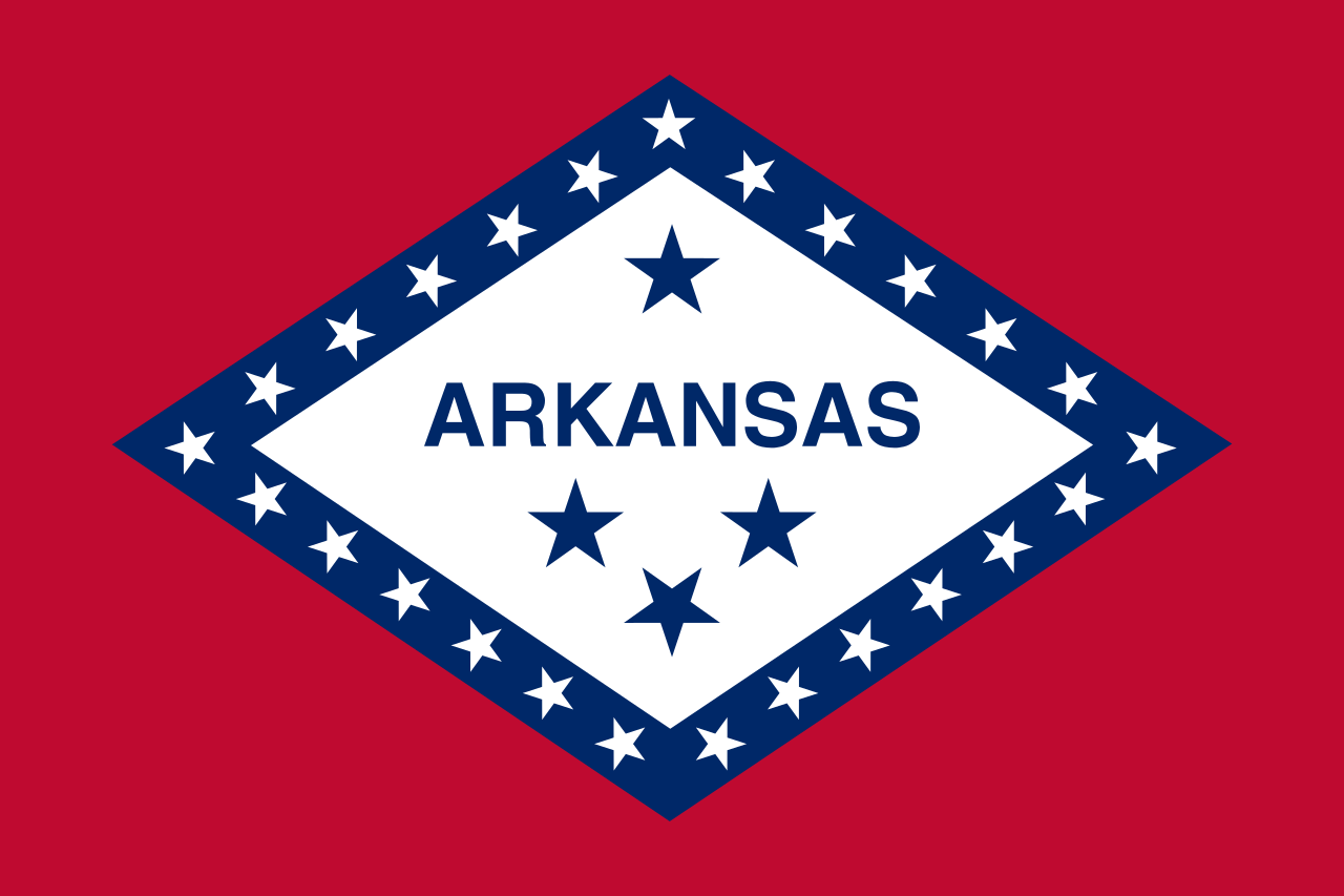 Arkansas-AR
Georgia-GA
Arkansas-AR
Georgia-GA
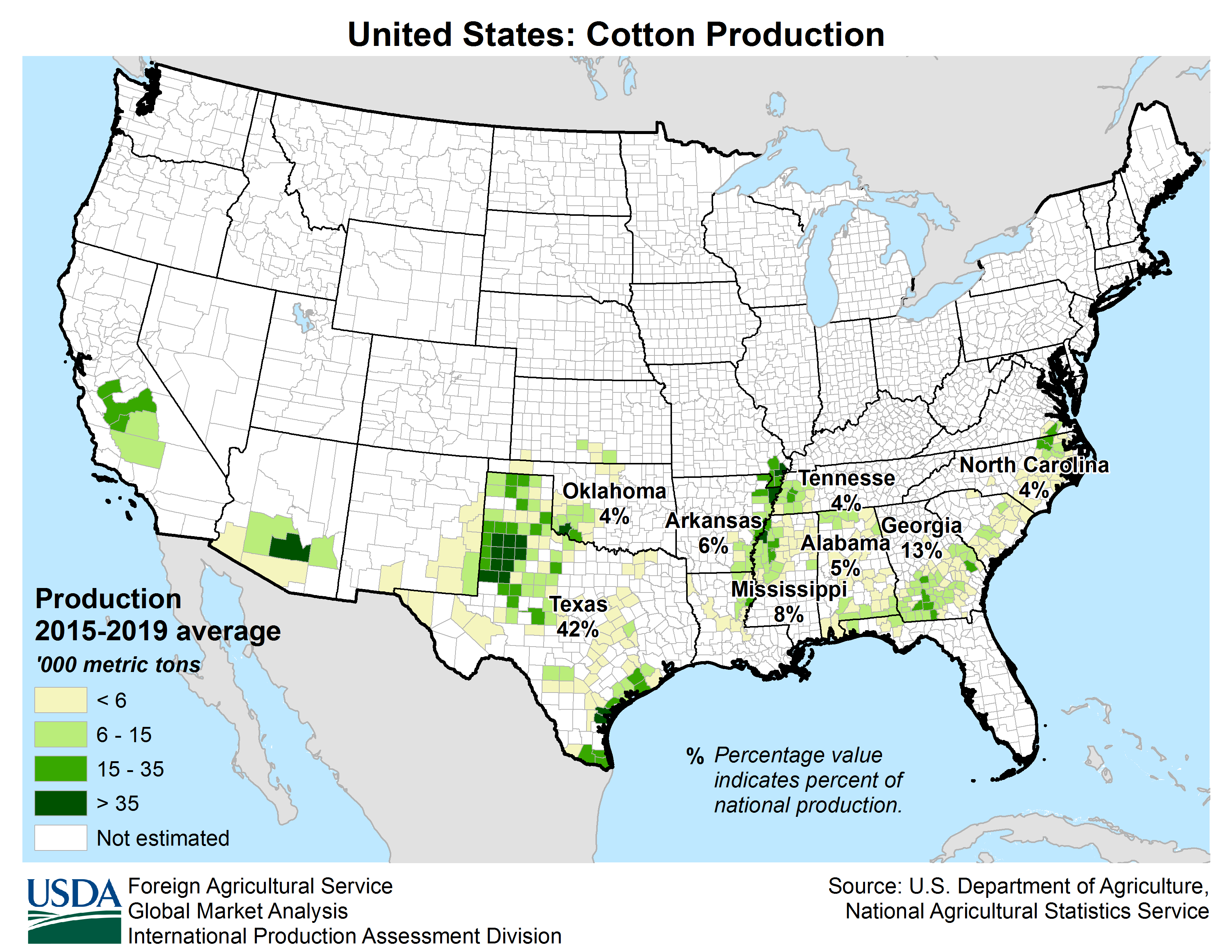
 Agriculture, forestry, livestock, fishing
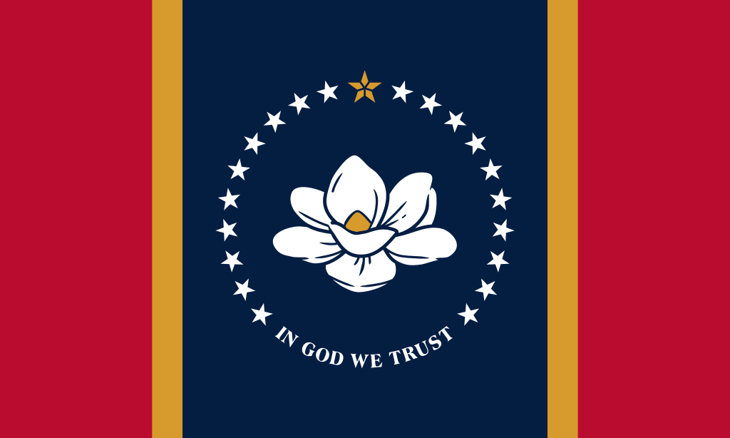 Mississippi-MS
 North Carolina-NC
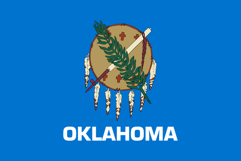 Oklahoma-OK
 Tennessee-TN
 Texas-TX

 Geography
 Maryland-MD
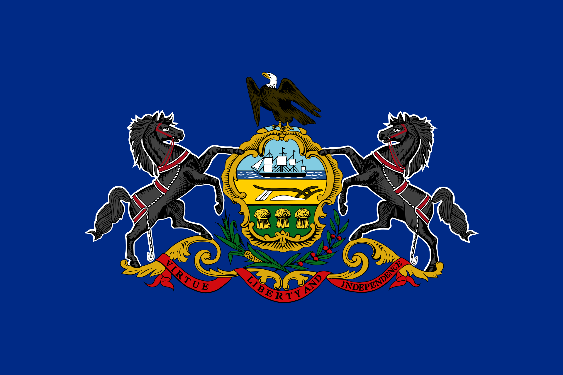 Pennsylvania-PA
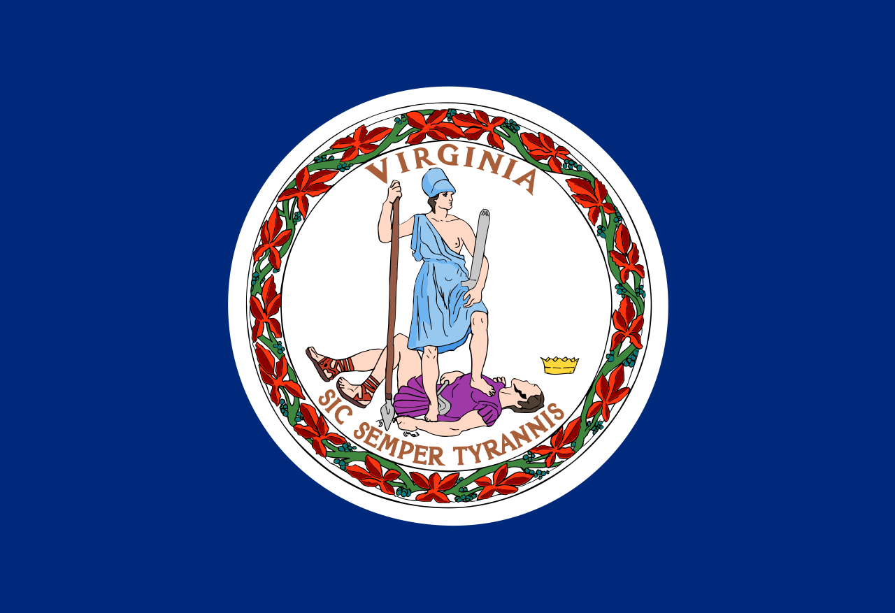 Virginia-VA
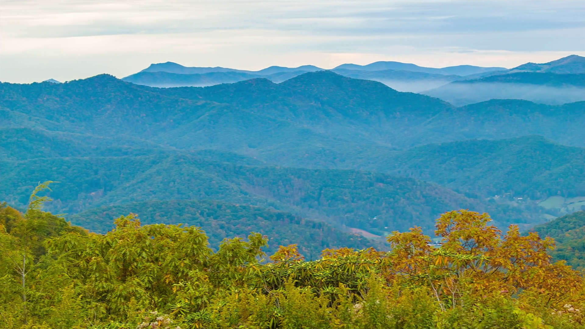 蓝岭山脉(英语:Blue Ridge Mountains)是美国东南部的山脉,为阿帕拉契山脉的东段。从宾夕法尼亚州南部起,经马里兰州、维吉尼亚州和北卡罗莱纳州到乔治亚州[1],东北-西南走向延伸约1050公里。沿线包含有布拉许山(Brushy Mountains)和大烟山(Great Smoky Mountains)等较具代表性的山脉,而最高峰米切尔峰海拔2037米。大烟山和谢南多厄国家公园(Shenandoah National Park)则以森林景色闻名[2]。
Die Blue Ridge Mountains sind ein Gebirgszug im Osten der USA. Sie sind ein Teil der Appalachen. Der zu ihnen gehörige Mount Mitchell ist mit einer Höhe von 2037 m (6684 Fuß) der höchste Berg der Gebirgskette und zugleich die höchste Erhebung Nordamerikas östlich des Mississippi.
Auf den Blue Ridge Mountains verläuft der Blue Ridge Parkway. Der Parkway führt in weiten Teilen entlang der Bergkämme und wurde während der Great Depression ab 1935 im Rahmen des New Deals von Bundes- und Staatsbehörden unter Mitarbeit der Works Progress Administration und des Civilian Conservation Corps erbaut.
In John Denvers Lied Take Me Home, Country Roads (1971) werden die Blue Ridge Mountains erwähnt (obgleich sich das Lied vor allem auf West Virginia bezieht, das von diesem Gebirgszug kaum berührt wird). Zudem spielt in dieser Gegend die Fernsehserie Die Waltons.
ブルーリッジ山脈(ブルーリッジさんみゃく、Blue Ridge Mountains)は、アメリカ合衆国東部をジョージア州からペンシルベニア州にかけて走る山脈。アパラチア山脈の一部で、その南東側の端部にあたる。ブルーリッジ山脈という名は、遠方から見た時に青くかすみがかかって見えることから名づけられた。
アメリカ合衆国東部のジョージア州から、北東方向にノースカロライナ州、テネシー州、バージニア州、メリーランド州を経て、ペンシルベニア州に至る山脈である。最高地点は、アパラチア山脈の最高地点でもあるミッチェル山(Mount Mitchell、標高2,037m、ノースカロライナ州)。
ブルーリッジ山脈には、グレート・スモーキー山脈国立公園のあるグレート・スモーキー山脈等が含まれる。ブルーリッジ山脈の西側は、リッジ・アンド・バレー地方(Ridge-and-valley Appalachians)や、シェナンドー渓谷のあるグレート・バレー(Great Appalachian Valley)を介してアパラチアン山脈の本体に連なる。
アメリカ合衆国のオールアメリカンロードのひとつであるブルーリッジ・パークウェイが、ブルーリッジ山脈をぬってシェナンドー国立公園とグレート・スモーキー山脈国立公園を結んでいる。
ジョン・デンバーが歌った『故郷へかえりたい』Take Me Home, Country Roadsの冒頭では、ウエストバージニア州の風景のひとつとしてブルーリッジ山脈が挙げられているが、実際にはブルーリッジ山脈はウエストバージニア州にはかかっていない。
The Blue Ridge Mountains are a physiographic province of the larger Appalachian Mountains range. The mountain range is located in the eastern United States, and extends 550 miles southwest from southern Pennsylvania through Maryland, West Virginia, Virginia, North Carolina, South Carolina, Tennessee, and Georgia.[1] This province consists of northern and southern physiographic regions, which divide near the Roanoke River gap.[2] To the west of the Blue Ridge, between it and the bulk of the Appalachians, lies the Great Appalachian Valley, bordered on the west by the Ridge and Valley province of the Appalachian range.
The Blue Ridge Mountains are noted for having a bluish color when seen from a distance. Trees put the "blue" in Blue Ridge, from the isoprene released into the atmosphere,[3] thereby contributing to the characteristic haze on the mountains and their distinctive color.[4]
Within the Blue Ridge province are two major national parks – the Shenandoah National Park in the northern section, and the Great Smoky Mountains National Park in the southern section – and eight national forests including George Washington and Jefferson National Forests, Cherokee National Forest, Pisgah National Forest, Nantahala National Forest and Chattahoochee National Forest. The Blue Ridge also contains the Blue Ridge Parkway, a 469-mile (755 km) long scenic highway that connects the two parks and is located along the ridge crest-lines with the Appalachian Trail.[5]
Les montagnes Blue Ridge ou montagnes Bleues (en anglais Blue Ridge Moutains, littéralement « montagnes du massif bleu »1) sont une chaîne de montagne de l'est des États-Unis. Elles forment la partie orientale des Appalaches, et s'étendent sur 880 km de la Pennsylvanie au nord à la Géorgie au sud, en passant par le Maryland, la Virginie-Occidentale, la Virginie, la Caroline du Nord, la Caroline du Sud et le Tennessee.
À l'ouest des Blue Ridge se trouve la Grande vallée des Appalaches (en), qui les sépare du reste du massif.
Les montagnes Blue Ridge sont appelées ainsi pour leur couleur bleuâtre quand elles sont observées de loin. Les arbres apportent le bleu grâce à l'isoprène dégagé dans l'atmosphère2, donnant sa couleur distinctive à la brume caractéristique sur les montagnes.
La catena montuosa si estende da Harper's Ferry, Virginia Occidentale, e si spinge verso sud-ovest, attraversa la Virginia e la Carolina del Nord fino all'interno della Georgia; talvolta si considera come facente parte anche la regione più settentrionale, con Maryland, Pennsylvania e New York.
La vetta più elevata è Monte Mitchell con 2.037 metri, situato nella Carolina del Nord. La catena montuosa ha un'altezza media compresa tra i 600 e i 1200 metri sul livello del mare.
L'esplorazione dei monti avvenne dal 1716 su impulso del governatore della Virgina Alexander Spotswood.
La cordillera Azul (en inglés, Blue Ridge Mountains) es una sección de los Apalaches, que es una importante cordillera ubicada en el este de Norteamérica. La cordillera Azul se extiende íntegramente en Estados Unidos, formando parte de los siguientes siete estados: Pensilvania, Maryland, Virginia, Carolina del Norte, Carolina del Sur, Tennessee y Georgia, como se puede observar en el mapa a la derecha.
El pico más alto de la cordillera (y de toda la cadena de los Apalaches) es el monte Mitchell en Carolina del Norte de 2037 m. Hay 39 picos en Carolina del Norte y Tennessee superiores a los 1800 m; si se compara con la porción norte de los montes Apalaches, solo el monte Washington de Nuevo Hampshire supera los 1800 m.
Голубо́й хребе́т (Блу-Ридж; англ. Blue Ridge Mountains) — цепь горных хребтов и массивов на востоке США, вдоль юго-восточной окраины Аппалачей. Поднимается над плато Пидмонт.
Протяжённость гор составляет более 1000 км. Наиболее высокая вершина — гора Митчелл (2037 м). Горы сложены метаморфическими породами. На склонах произрастают широколиственные и хвойные леса, в межгорных впадинах и котловинах — луга.
 Architecture


 Media and press

 Eat and Drink
Georgia-GA
Eat and Drink
Georgia-GA
 Review
 Companies
 *Centuries-old companies in the world
Companies
*Big food companies
United States
*Centuries-old companies in the world
Companies
*Big food companies
United States

可口可乐是一种世界闻名的饮料,起源于1886年美国佐治亚州亚特兰大城一家药品店。店里的药剂师约翰?彭伯敦,自制一种有提神作用的药水,且销售不错。一天,
彭伯敦在匆忙中,不小心将另一种褐色溶液加入药水中,不料这位顾客竟然大加赞赏。彭伯顿把握机会,将这种药水冲淡变成饮料,命名可口可乐,扩大销售。Cola是指非洲所
出产的可乐树,树上所长的可乐子内含有咖啡因,果实是制作可乐饮料的主要原料。 真正使可口可乐成为世界最畅销的饮料的人,是罗拔·伍德夫(Robert Woodruff),他一直
管理可口可乐六十多年,到他九十多岁逝世为止。1919年,可口可乐公司被一个亚特兰大的财团收购。四年后,伍德夫被委任为总裁,他采用了严格的质量管理标准,以保障不
论在什幺地方生产的可口可乐都能保持优良品质。他还着手在世界各地广泛销售和广告宣传活动。

 IT-Times
 Transport and traffic
737 Next Generation
737-700
737 Next Generation
737-800
737 Next Generation
737-900ER
Airbus A320
A319-100
Airbus A320
A320-100 / -200
Airbus A320
A321-100 / -200
Airbus A330
A330-200
Airbus A330
A330-300
Airbus A330
A330-900neo
Airbus A350
A350-900
Boeing 717
Boeing 717-200
Boeing 737
737 Next Generation
Boeing 747
747-400
Boeing 757
Boeing 757-200
Boeing 757
Boeing 757-300
Boeing 767
767-300
Boeing 767
767-400ER
Boeing 777
777-200ER
Boeing 777
777-200LR
Bombardier CSeries
CS100
Delta Air Lines
Georgia-GA
Transport and traffic
737 Next Generation
737-700
737 Next Generation
737-800
737 Next Generation
737-900ER
Airbus A320
A319-100
Airbus A320
A320-100 / -200
Airbus A320
A321-100 / -200
Airbus A330
A330-200
Airbus A330
A330-300
Airbus A330
A330-900neo
Airbus A350
A350-900
Boeing 717
Boeing 717-200
Boeing 737
737 Next Generation
Boeing 747
747-400
Boeing 757
Boeing 757-200
Boeing 757
Boeing 757-300
Boeing 767
767-300
Boeing 767
767-400ER
Boeing 777
777-200ER
Boeing 777
777-200LR
Bombardier CSeries
CS100
Delta Air Lines
Georgia-GA


 Aerospace
SkyTeam
McDonnell Douglas
MD-88
McDonnell Douglas
MD-90
Companies
*Big airline
United States
Aerospace
SkyTeam
McDonnell Douglas
MD-88
McDonnell Douglas
MD-90
Companies
*Big airline
United States

 Financial

 Science and technology
Breakthrough Prize
Breakthrough Prize in Life Sciences
Georgia-GA
Nobel prize
University/Institute
Nobel prize
Nobel Peace Prize
Science and technology
Breakthrough Prize
Breakthrough Prize in Life Sciences
Georgia-GA
Nobel prize
University/Institute
Nobel prize
Nobel Peace Prize
 Universities in the USA