
Deutsch-Chinesische Enzyklopädie, 德汉百科
 Japan
Japan
 、
、
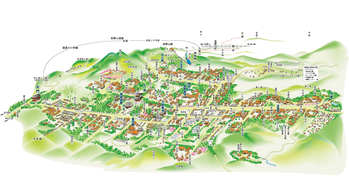
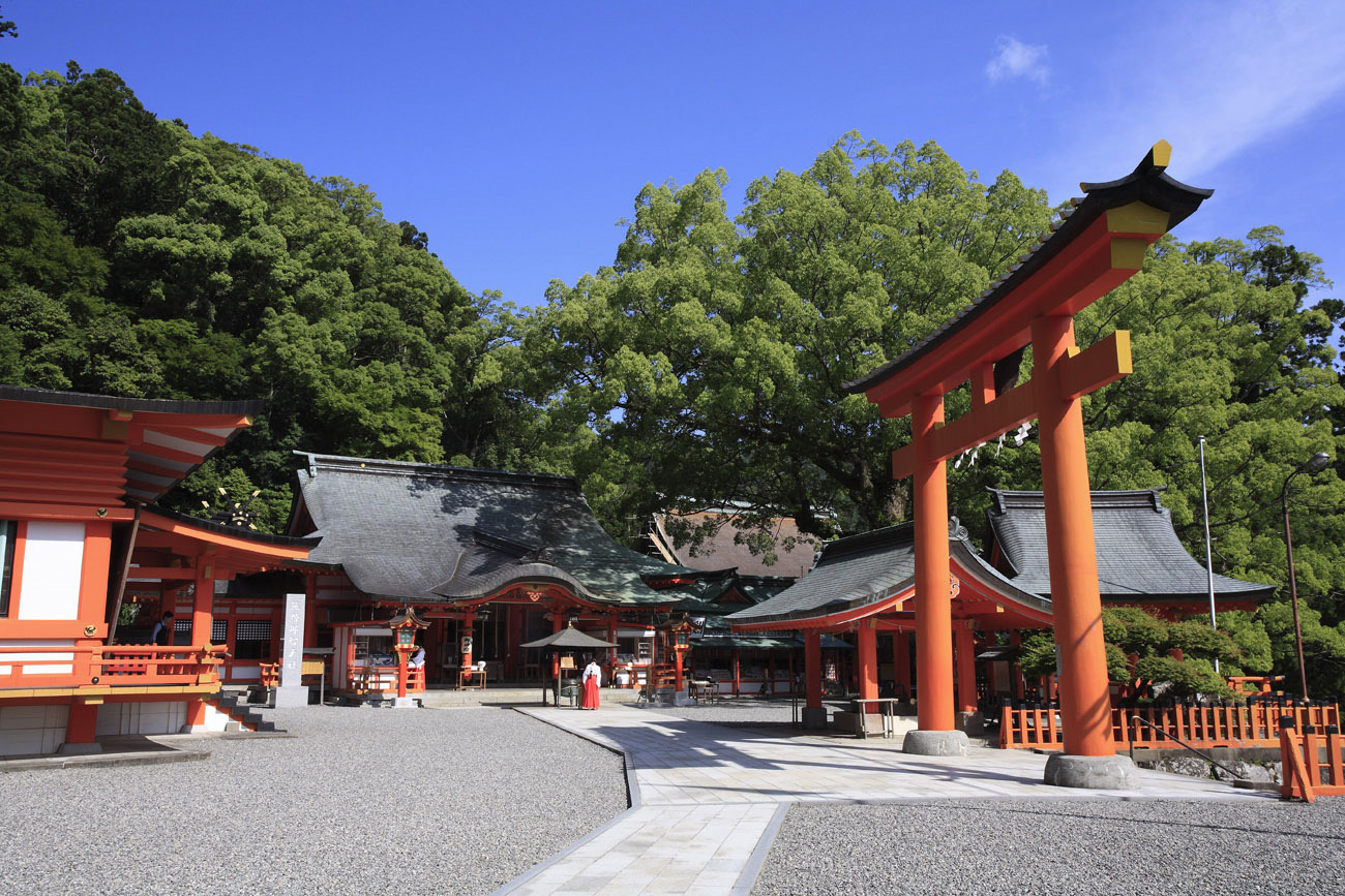
Als Kōya-san (jap. 高野山; kōya = Hochebene, san = Berg) bezeichnet man im heutigen allgemeinen Sprachgebrauch eine Gruppe von Bergen in Japans Präfektur Wakayama südlich von Ōsaka samt der von ihnen eingeschlossenen Hochebene (Seehöhe ca. 800 m).
Eigentlich handelt es sich nicht um eine geographische Bezeichnung. Kōya-san ist der Beiname des dortigen buddhistischen Kongōbu-Tempels (Kongōbu-ji, 金剛峯寺)[Anm 2]. Dieser umfasst die gesamte Hochebene mit zahlreichen Untertempeln. Wer zum Kōya-san geht, sucht daher diesen Tempel auf. Alle anderen Tempel gelten als untergeordnete Tempel (tatchū-jiin 塔頭寺院), weshalb sie in ihrem Namen die Bezeichnung -in (院) führen.
高野山(こうやさん)是位于日本和歌山县里标高约1,000米前后的山群中的一个地域,在行政划分上隶属于伊都郡高野町,也是该町的核心聚落和市中心所在。 在平安时代的弘仁7年(816年)弘法大师空海在此修行并建立了金刚峰寺,后来成为高野山真言宗总本山。整个山中的寺院总数约有117间,于平成16年(2004年)7月,被联合国教科文组织登记‘纪伊山地的圣地及朝圣路’列为世界遗产之一。高野山同时也是金刚峯寺的山号。
 Energy resource


 Automobile
 Agriculture, forestry, livestock, fishing
 Companies

 Architecture
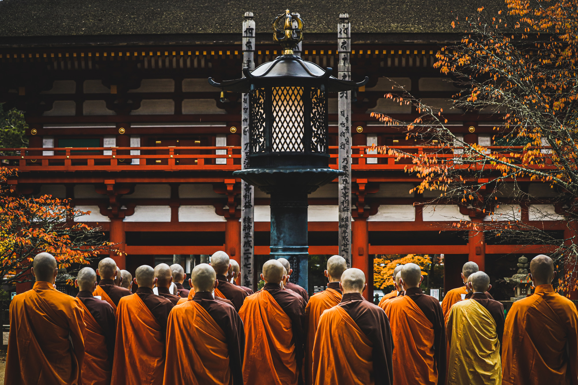
 Religion
 World Heritage

 Art
Art


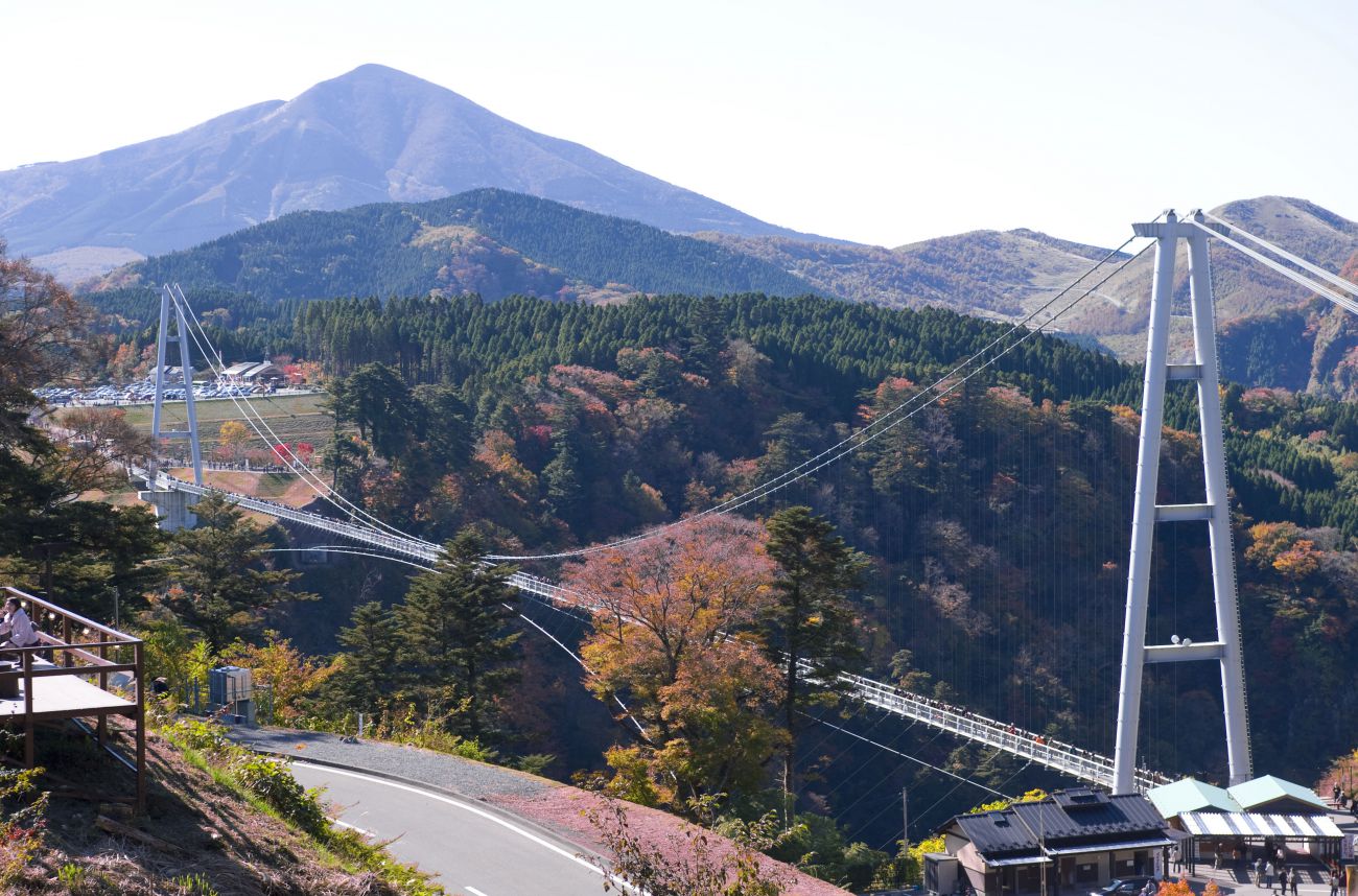
Die Kurobe-Schlucht (japanisch: 黒部峡谷/くろべきょうこく kurobe kyōkoku) ist eine Schlucht (V-förmiges Tal) am mittleren bis oberen Lauf des Kurobe-Flusses in der Stadt Kurobe, Präfektur Toyama, Japan. Sie trennt den nördlichen Teil der Hida-Bergkette in den Tateyama Lianfeng und den Goto Tateyama Lianfeng. Er wurde als nationales besonderes Naturdenkmal (Naturschutzgebiet) und als besonderer Ort von Interesse ausgewiesen. Er befindet sich im Chubu-Sangaku-Nationalpark. Zusammen mit dem Kiyotsukei-Tal und dem Osugi-Tal gehört es zu den drei besten Tälern Japans und zu den 100 geheimen Orten Japans.
黑部峡谷(日语:黒部峡谷/くろべきょうこく kurobe kyōkoku)是日本富山县黑部市黑部川中游~上游的峡谷(V字谷)。将飞驒山脉北部分断成立山连峰和后立山连峰。已指定为国之特别天然记念物(天然保护区域)及特别名胜。位在中部山岳國立公園之内。和清津溪谷、大杉谷同为日本三大溪谷、日本秘境百选之一。
黑部峡谷由蜿蜒穿流在立山、剑岳、药师岳等立山山脉和以白马岳为代表的后立山山脉之间的黑部川形成。在这个由海拔落差3000米的急流侵蚀而成的V字形山谷,碧绿的河水和苍翠的群山,交织成一幅壮丽的美景,它与新潟县的清津峡和三重县的大杉谷并称为日本三大溪谷。

 IT-Times
 Printer/Photocopier/Scanner
Japan
Kinki
Printer/Photocopier/Scanner
Japan
Kinki
 Kitchen equipment
 Life and Style
 Science and technology
Global Innovators
Science and technology
Global Innovators
