
漢德百科全書 | 汉德百科全书
 Kentucky-KY
 Geography
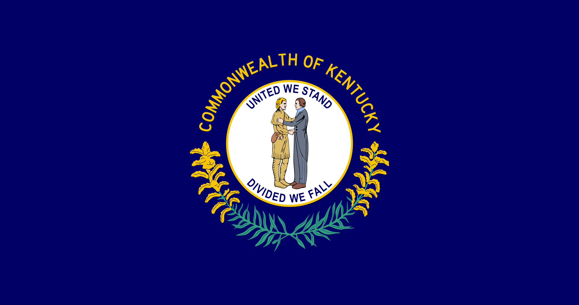
Kentucky (engl. Aussprache [kənˈtʰʌki]) (offiziell The Commonwealth of Kentucky) ist ein Bundesstaat der Vereinigten Staaten von Amerika. Der Name des Staates ist shawnesischer oder irokesischer Herkunft, möglicherweise aus dem Wyandotischen, mit der Bedeutung „Wiese“, „Aue“, „Flur“. Im Senecaischen, ebenfalls einer irokesischen Sprache, bedeutet das Wort geda’geh „auf dem Feld“.[1] Den Beinamen Bluegrass State, womit die von März bis April blaugrün blühenden Grasweiden gemeint sind, trägt Kentucky als verbreitete Umschreibung.
Kentucky war zunächst ein Teil Virginias und trat 1792 als 15. Staat den Vereinigten Staaten bei. Im Sezessionskrieg versuchte Kentucky anfangs neutral zu bleiben, dann standen Einwohner des Staates auf beiden Seiten, wie z. B. Abraham Lincoln als Präsident der Union und Jefferson Davis als Präsident der Konföderation. Das United States Census Bureau zählt Kentucky heute jedoch eindeutig zu den Südstaaten.
Neben den Bundesstaaten Virginia, Pennsylvania und Massachusetts führt Kentucky den amtlichen Namen „Commonwealth of Kentucky“ im Gegensatz zu der sonst üblichen Gliedstaaten-Bezeichnung als „State“.
肯塔基州(英语:Commonwealth of Kentucky)是美国中东部的一个州,正式名称为肯塔基邦,面积104,749平方公里,在全国排名37。2005年人口4,041,769人,全国排名第26位。
肯塔基州在美国革命时属弗吉尼亚州一部分,称肯塔基县。1792年肯塔基脱离弗吉尼亚州,成为美国的第十五个州。肯塔基州以纯种马和威士忌闻名。另外快餐连锁企业肯德基(Kentucky Fried Chicken)也以肯塔基州为发源地。
ケンタッキー州(英: Commonwealth of Kentucky)は、アメリカ合衆国中東部にある州(コモンウェルス)である。州都はフランクフォートで、最大都市はルイビルである。アメリカ合衆国50州の中で、陸地面積では第37位、人口では第26位である。元はバージニア州の一部だった。1792年にアメリカ合衆国15番目の州に昇格した。
他の主要な都市にレキシントンがある。また、オハイオ州の大都市、シンシナティの大都市圏の一部はケンタッキー州北部にまたがっており、北ケンタッキー地域と呼ばれる。
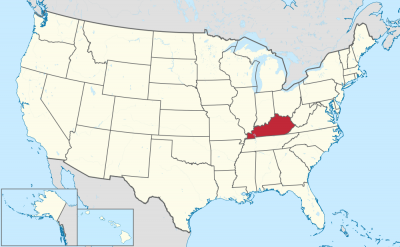
Kentucky (UK: /kɛnˈtʌki/ ken-TUK-ee, US: /kən-/ (![]() listen) kən-),[4] officially the Commonwealth of Kentucky, is a U.S. state in the Southern region of the country. It was admitted into the Union as the 15th state on June 1, 1792, splitting from Virginia in the process.[5] Kentucky is the 37th most extensive and the 26th most populous of the 50 United States.
listen) kən-),[4] officially the Commonwealth of Kentucky, is a U.S. state in the Southern region of the country. It was admitted into the Union as the 15th state on June 1, 1792, splitting from Virginia in the process.[5] Kentucky is the 37th most extensive and the 26th most populous of the 50 United States.
The bluegrass region in the central part of the state contains the state's capital, Frankfort, as well as its two largest cities, Louisville and Lexington. Together they comprise more than 20% of the state's population.[3] Kentucky shares borders with Illinois, Indiana, and Ohio to the north, West Virginia and Virginia to the east, Tennessee to the south, and Missouri to the west.
Kentucky is known as the "Bluegrass State", a nickname based on Kentucky bluegrass, a species of grass found in many of its pastures, which has supported the thoroughbred horse industry in the center of the state.[6] It is home to the world's longest cave system: Mammoth Cave National Park, as well as one of the greatest lengths of navigable waterways and streams in the contiguous United States and the two largest man-made lakes east of the Mississippi River. The state is also known for horse racing, bourbon, moonshine, coal, "My Old Kentucky Home" historic state park, automobile manufacturing, tobacco, bluegrass music, college basketball, Kentucky Fried Chicken, and the Kentucky colonel.
Le Kentucky /kɑ̃n̪.ty.ki/ ou /kɛn̪.tə.ki/ (prononcé en anglais /kənˈtʌki/) est un État (officiellement, un Commonwealth, comme seulement trois autres États parmi les cinquante) des États-Unis, à la limite du Midwest et du Sud profond. Il est bordé au nord par l'Illinois, l'Indiana et l'Ohio, à l'est par la Virginie-Occidentale et la Virginie, au sud par le Tennessee et à l'ouest par le Missouri.
Faisant initialement partie de la Virginie, le Kentucky devient en 1792 le 15e État à rejoindre l'Union. Il est le 37e État par sa superficie et le 26e État par sa population parmi les 50 États américains.
Le Kentucky est connu comme le « Bluegrass State » (État de l'herbe bleue), un surnom dû à l'« herbe bleue » que l'on trouve dans de nombreux pâturages de son sol fertile. Une des principales régions du Kentucky est la Bluegrass region, dans le centre de l'État, où se trouvent les deux principales villes, Louisville et Lexington. Le Kentucky présente divers environnements et d'abondantes ressources dont le plus long réseau de grottes du monde au parc national de Mammoth Cave, le plus long système de voies navigables des États-Unis contigus et les deux plus grand lacs artificiels à l'est du Mississippi.
Le Kentucky est aussi connu pour ses courses de chevaux, ses distilleries de bourbon et son alcool de contrebande (Kentucky Moonshine), son charbon, son tabac, sa construction automobile, la musique bluegrass, le site historique My Old Kentucky Home, le basket universitaire et la société Kentucky Fried Chicken.
Il Commonwealth del Kentucky (abbreviazione comune: Kentucky in inglese , [kɨnˈtʌki]; denominazione ufficiale in lingua inglese: Commonwealth of Kentucky; soprannome: Bluegrass State) è uno stato federato degli Stati Uniti d'America. La capitale è Frankfort. Confina ad ovest con il Missouri, a nord con l'Ohio, l'Illinois e l'Indiana, a sud con il Tennessee e ad est con Virginia e Virginia Occidentale.
Le origini del nome non sono chiare, ma si ipotizza che derivi da un termine irochese, col significato di “prateria”, “campo”, ma anche “terra del domani” o “fiume di sangue”[2].
Kentucky, oficialmente mancomunidad de Kentucky (en inglés Commonwealth of Kentucky), es uno de los cincuenta estados que, junto con Washington D. C., forman los Estados Unidos de América. Su capital es Frankfort y su ciudad más poblada, Louisville.
Está ubicado en la región Sur del país, división Centro Sureste. Limita al norte con el río Ohio que lo separa de Illinois (al noroeste), Indiana y Ohio, al noreste con los ríos Big Sandy y Tug Fork que lo separan de Virginia Occidental, al sureste con Virginia, al sur con Tennessee y al oeste con el río Misisipi que lo separa de Misuri. Fue admitido en la Unión el 1 de junio de 1792, como el estado número 15.
Aunque el centro de su actividad económica son la manufactura de productos industrializados y el turismo, buena parte del estado es predominantemente rural, con la agricultura como principal fuente de ingresos.
Anteriormente, se creía que el origen del nombre del estado venía de una palabra amerindia, que significa «terreno de caza oscuro y sangriento», porque las tribus nativas que vivían en la región cazaban dentro de los densos bosques del estado, y porque a menudo estas tribus luchaban entre sí en estos bosques.3 Sin embargo, actualmente se cree que la palabra Kentucky pueda ser atribuida a numerosos idiomas indígenas, con varios significados posibles. Algunos de estos significados son «tierra del mañana», «tierra de caña y pavos» y «pradera».45 La región donde está localizada actualmente Kentucky fue colonizada originalmente por pobladores de la colonia británica de Pensilvania en 1774, pero pasó a ser controlada por Virginia durante la Guerra de Independencia de 1776, y se convirtió en el decimoquinto estado estadounidense en formar parte de la Unión, el 1 de junio de 1792.
Kentucky es una tierra con ambientes diversos y recursos abundantes. Posee el sistema de cuevas más largo del mundo,6 la mayor longitud de corrientes y canales navegables de los Estados Unidos continentales (sin Alaska y Hawái), los dos lagos artificiales más grandes al este del río Misisipi y el yacimiento de carbón más productivo del país. Kentucky es mundialmente conocido por sus caballos purasangre, las carreras de caballos (especialmente el Derby de Kentucky), las destilerías de bourbon, la música bluegrass, el tabaco y sus equipos de baloncesto universitario.
Кенту́кки[1][2] (англ. Kentucky, американское произношение: [kənˈtʌki] (![]() слушать)), официально — Содру́жество Кенту́кки (англ. Commonwealth of Kentucky) — штат[3] в восточной части США, входит в число так называемых штатов Юго-Восточного Центра. Население 4 369 356 человек (2011; 26-е место среди штатов). Столица — Франкфорт. Крупнейший город — Луисвилл, другие крупные города — Лексингтон-Файетт, Оуэнсборо, Боулинг-Грин, Хопкинсвилл.
слушать)), официально — Содру́жество Кенту́кки (англ. Commonwealth of Kentucky) — штат[3] в восточной части США, входит в число так называемых штатов Юго-Восточного Центра. Население 4 369 356 человек (2011; 26-е место среди штатов). Столица — Франкфорт. Крупнейший город — Луисвилл, другие крупные города — Лексингтон-Файетт, Оуэнсборо, Боулинг-Грин, Хопкинсвилл.
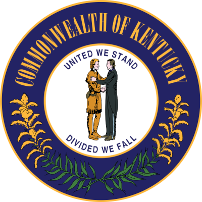
Официальные девизы штата — «Вместе мы выстоим, порознь — падём» (англ. United We Stand, Divided We Fall) и «Возблагодарим Господа» (лат. Deo Gratiam Habeamus). Официальное прозвище — «Штат мятлика» (англ. Bluegrass State).
Название Кентукки происходит от индейского названия одноимённой реки[4][источник не указан 2120 дней], насчёт значения которого до сих пор сохраняются разногласия. По одной из версий, выражение означает «Тёмная и кровавая территория охоты». Предлагаются также варианты «Завтрашняя страна», «Земля лугов» и т. д.
*Capitols in the United States
*United States Political System
 Architecture
 Beaux Art
Kentucky-KY
United States
Beaux Art
Kentucky-KY
United States

 Exhibition


 IT-Times
 Companies

 Transport and traffic


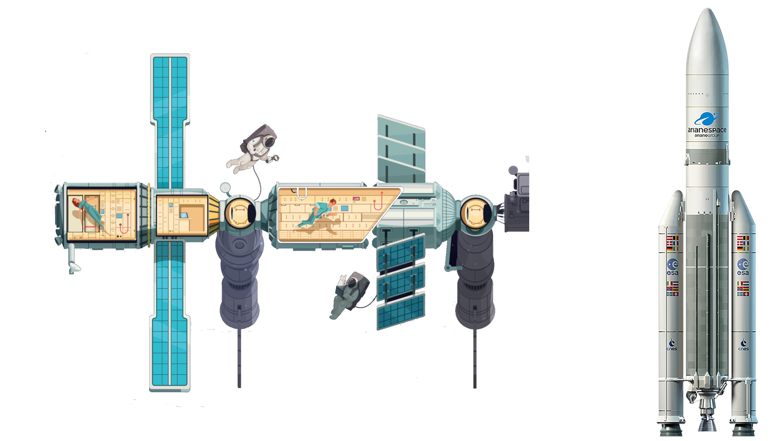 Aerospace

 Alabama-AL
 Alaska-AK
 Arizona-AZ
 Arkansas-AR
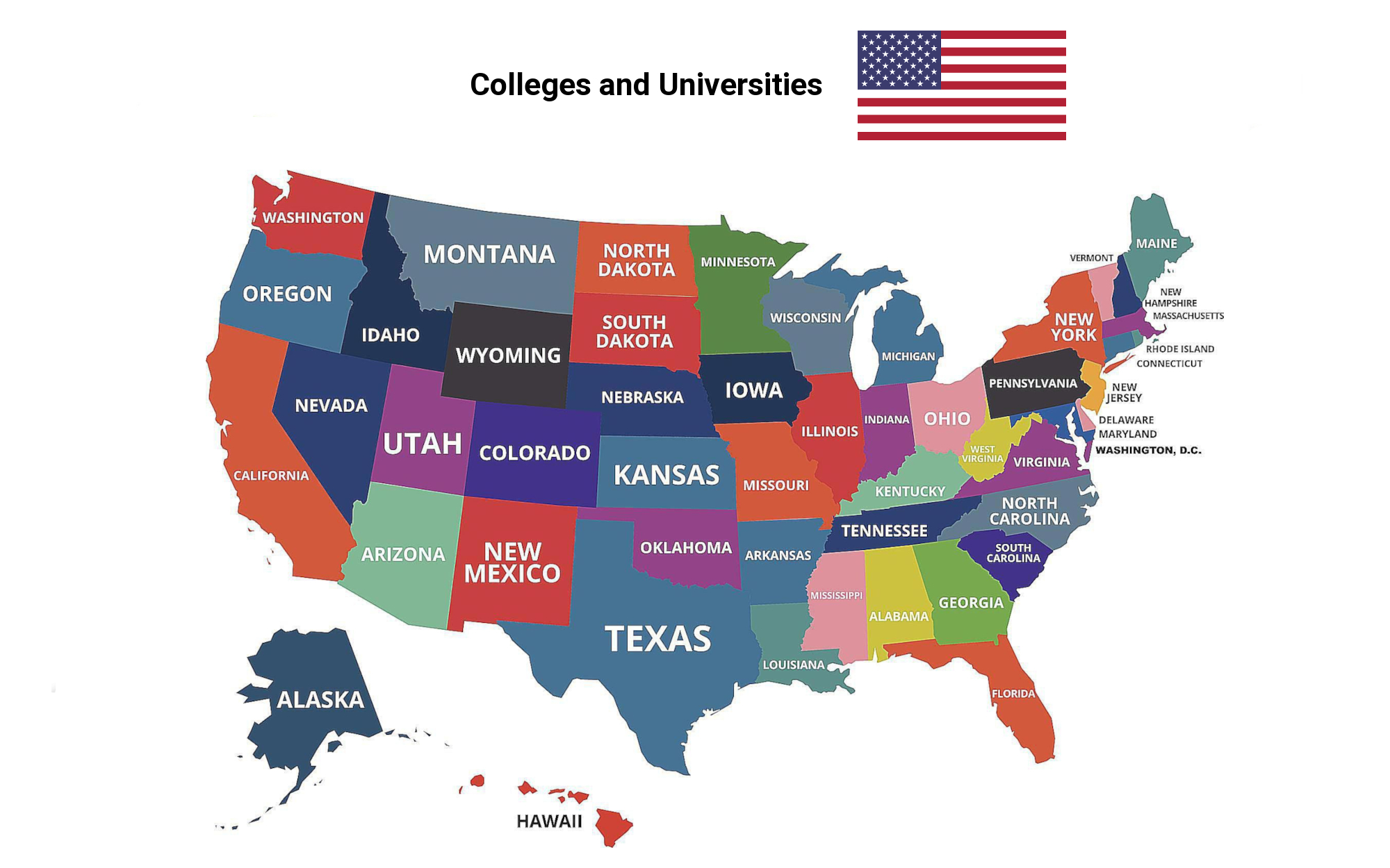
 Education and Research
Universities and colleges in the United States of America
Education and Research
Universities and colleges in the United States of America
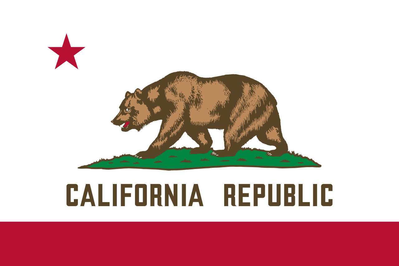 California-CA
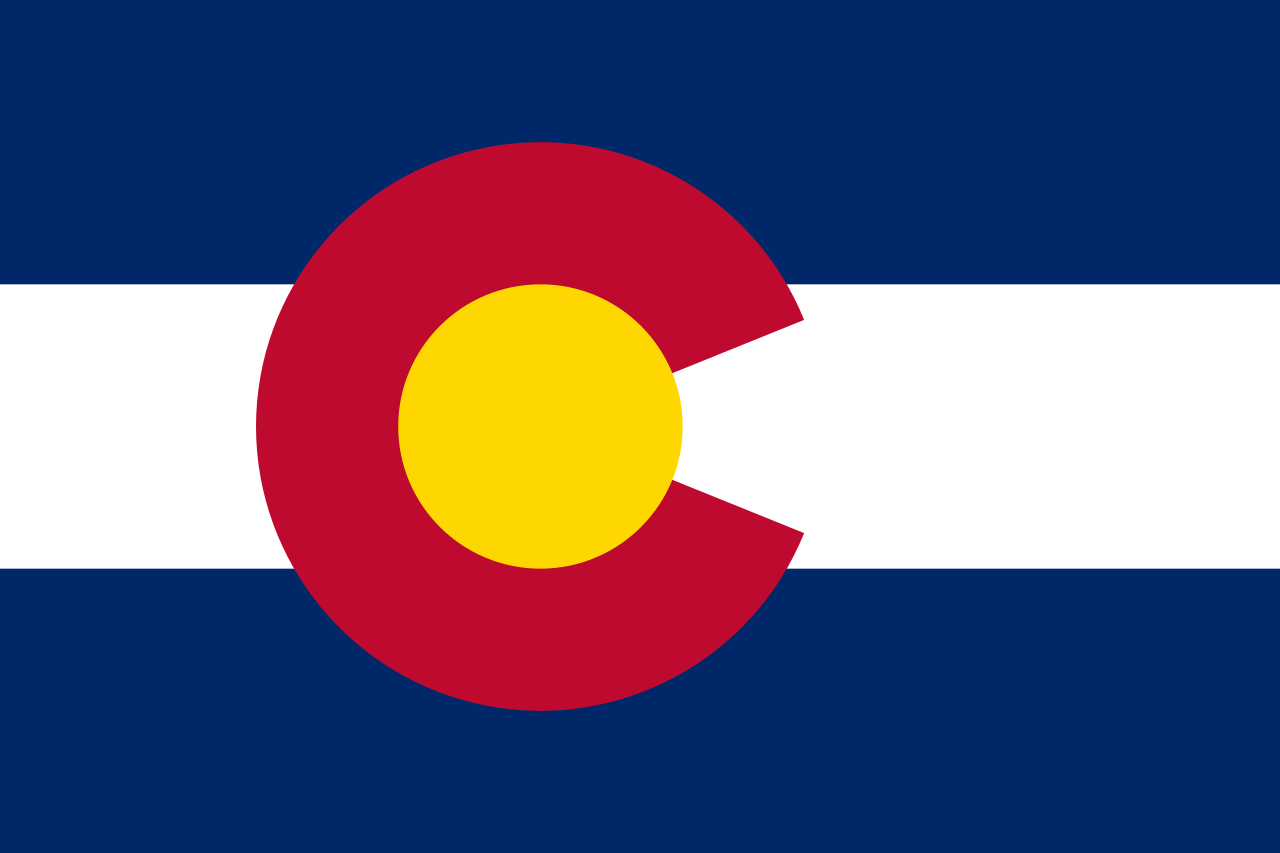 Colorado-CO
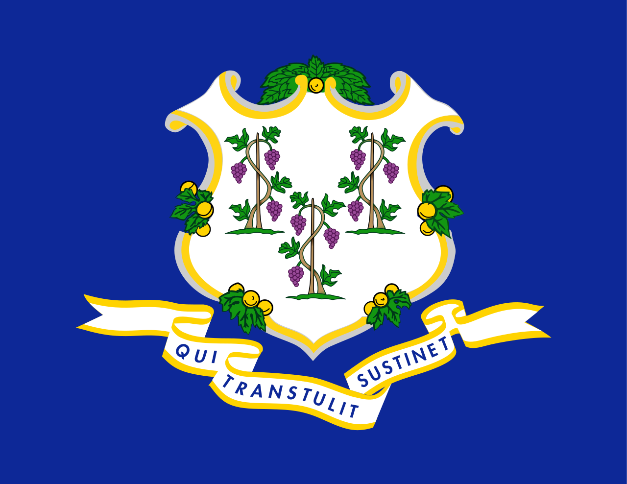 Connecticut-CT
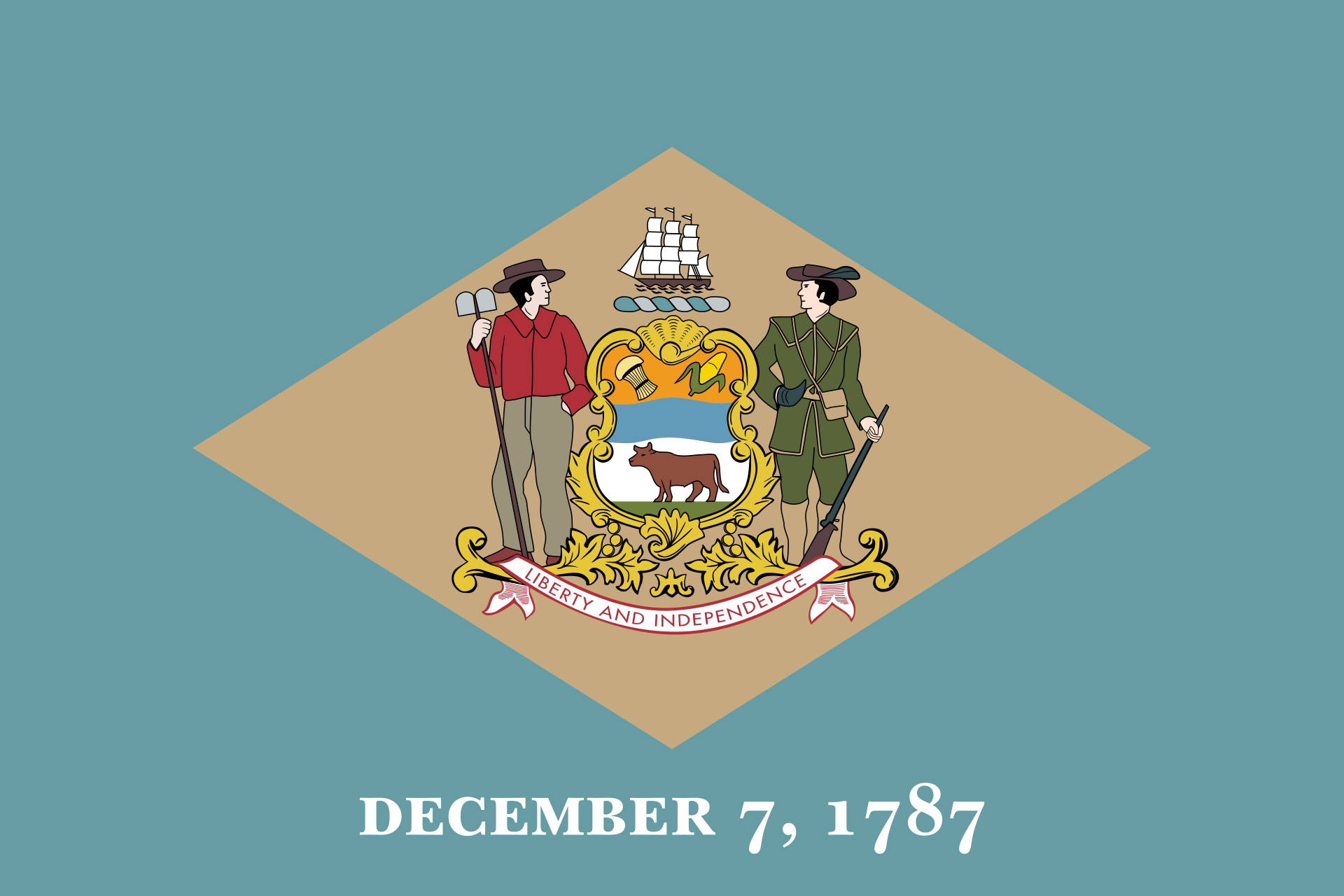 Delaware-DE
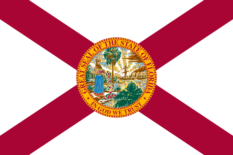 Florida-FL
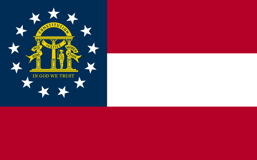 Georgia-GA
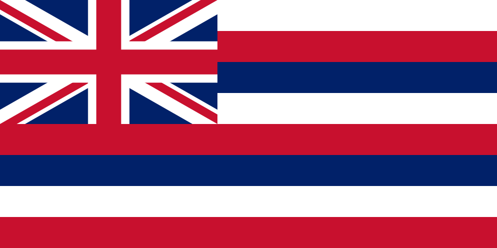 Hawaii-HI
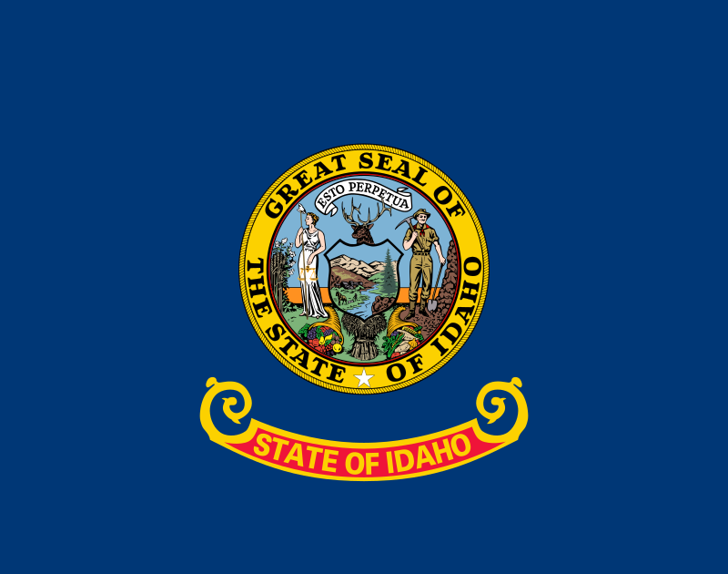 Idaho-ID
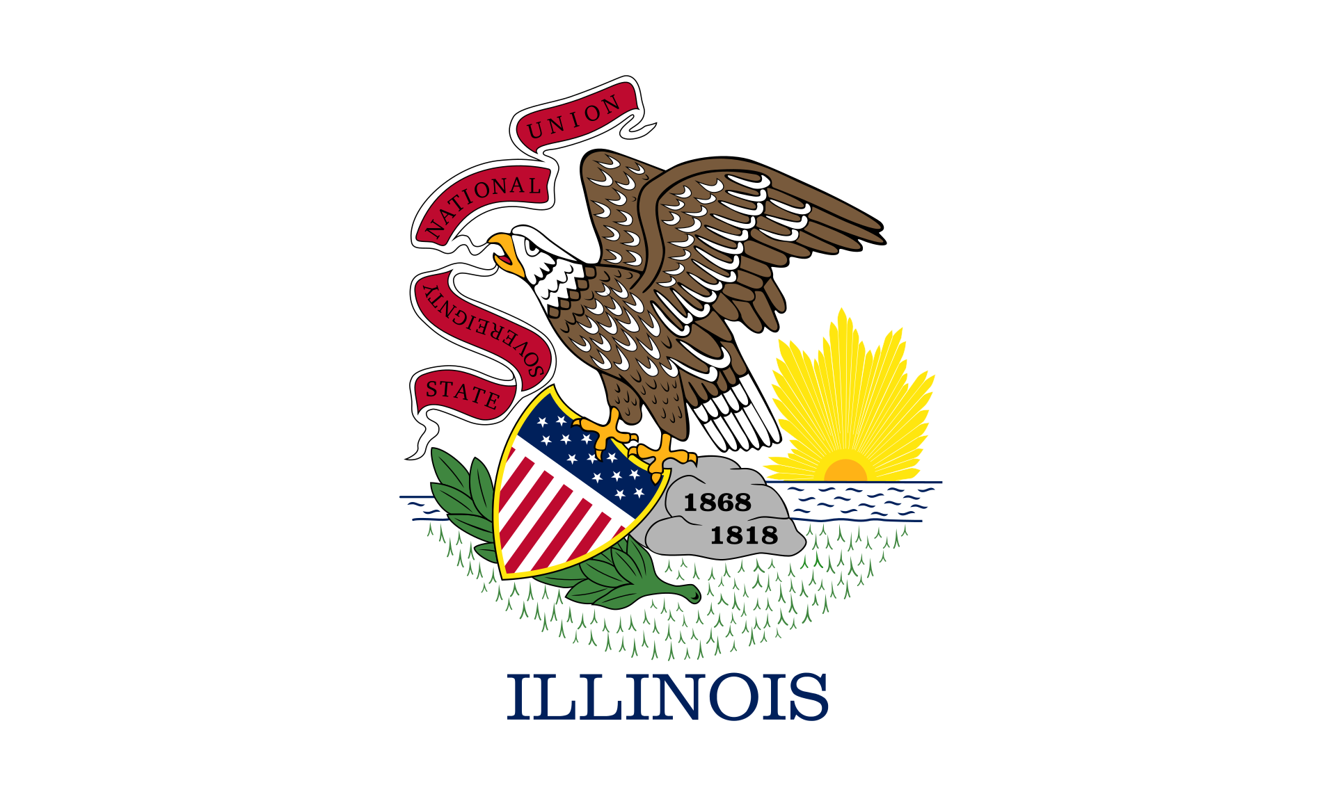 Illinois-IL
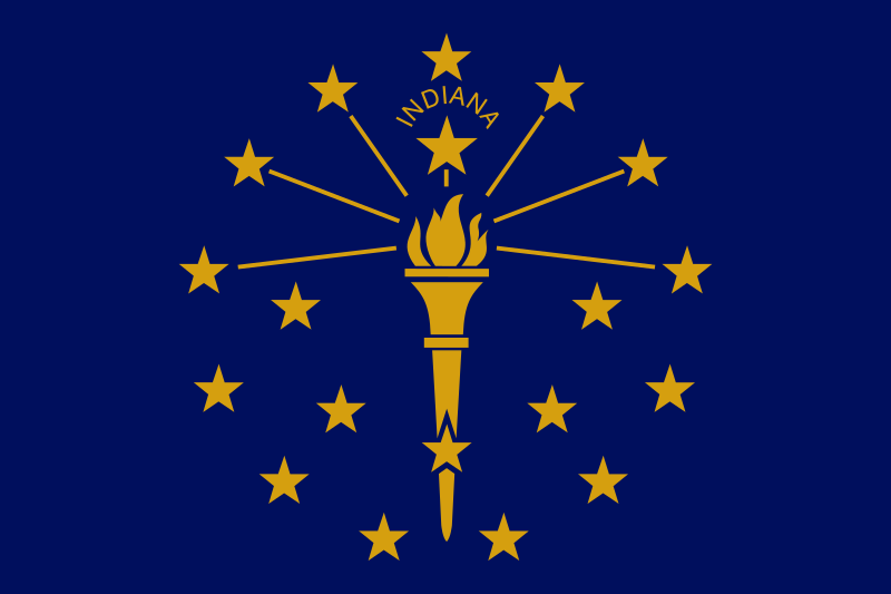 Indiana-IN
 Iowa-IA
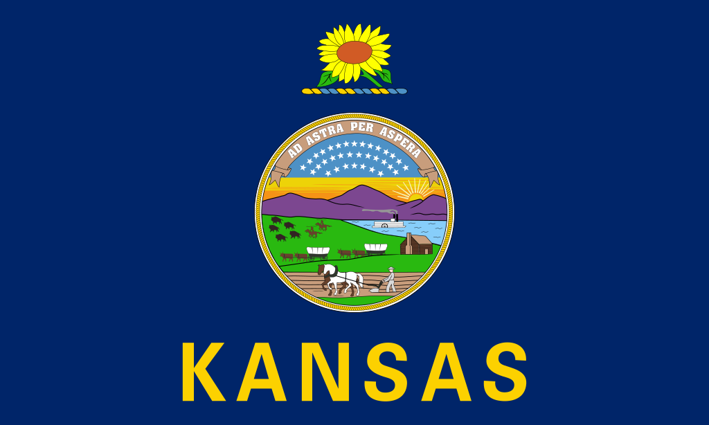 Kansas-KS
Kentucky-KY
Kansas-KS
Kentucky-KY
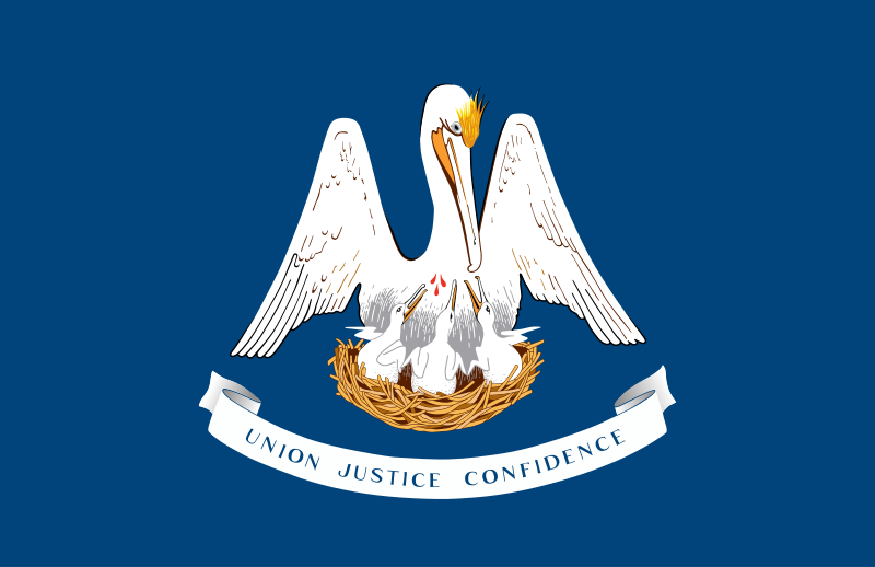 Louisiana-LA
 Maine-ME
 Maryland-MD
 Massachusetts-MA
 Michigan-MI
 Minnesota-MN
 Mississippi-MS
 Missouri-MO
 Montana-MT
 Nebraska-NE
 Nevada-NV
 New hampshire-NH
 New jersey-NJ
 New mexico-NM
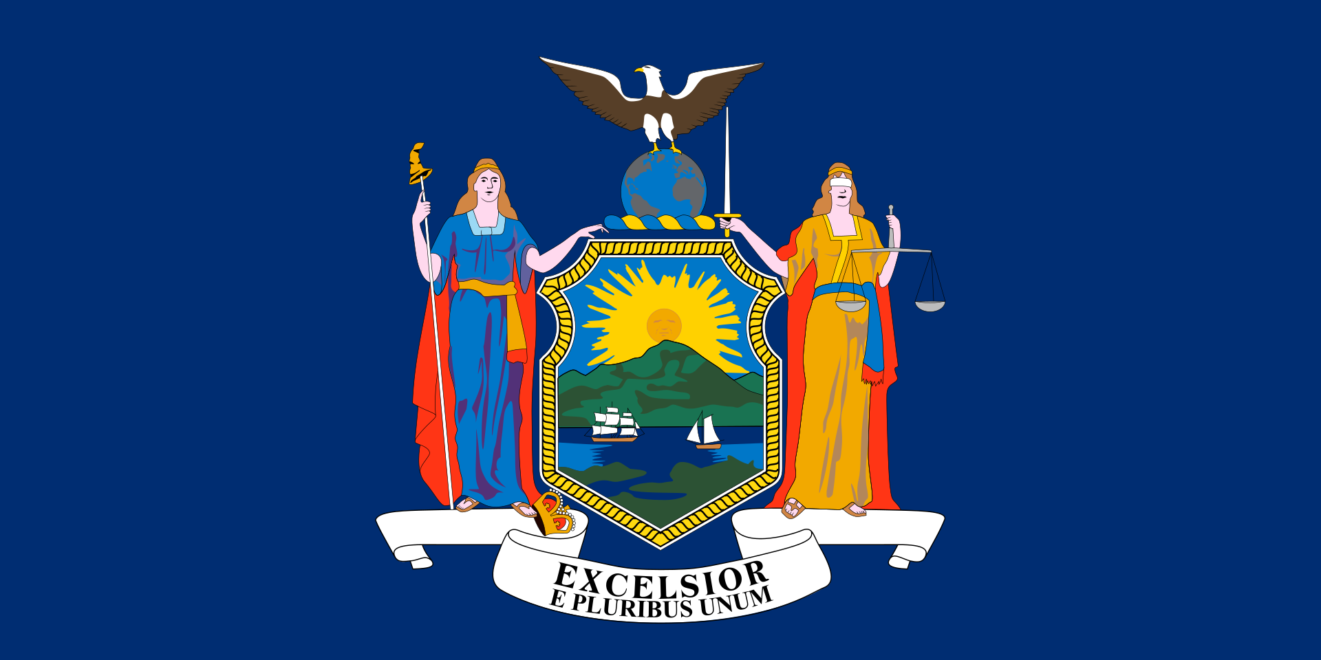 New York-NY
 North Carolina-NC
 North Dakota-ND
 Ohio-OH
 Oklahoma-OK
 Oregon-OR
 Pennsylvania-PA
 Rhode Island-RI
 South Dakota-SD
 Tennessee-TN
 Texas-TX
 Universities in the USA
 Utah-UT
United States
Utah-UT
United States
 Vermont-VT
 Virginia-VA
 Washington-WA
 Washington, D.C.
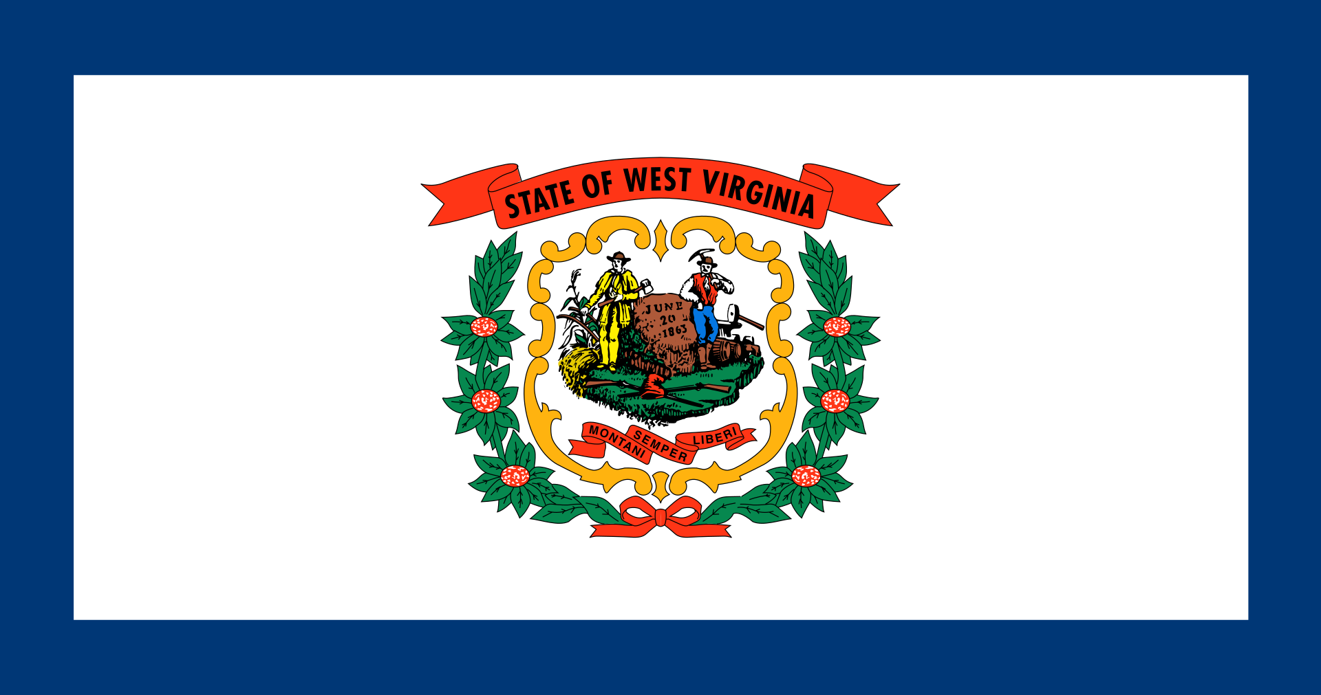 West Virginia-WV
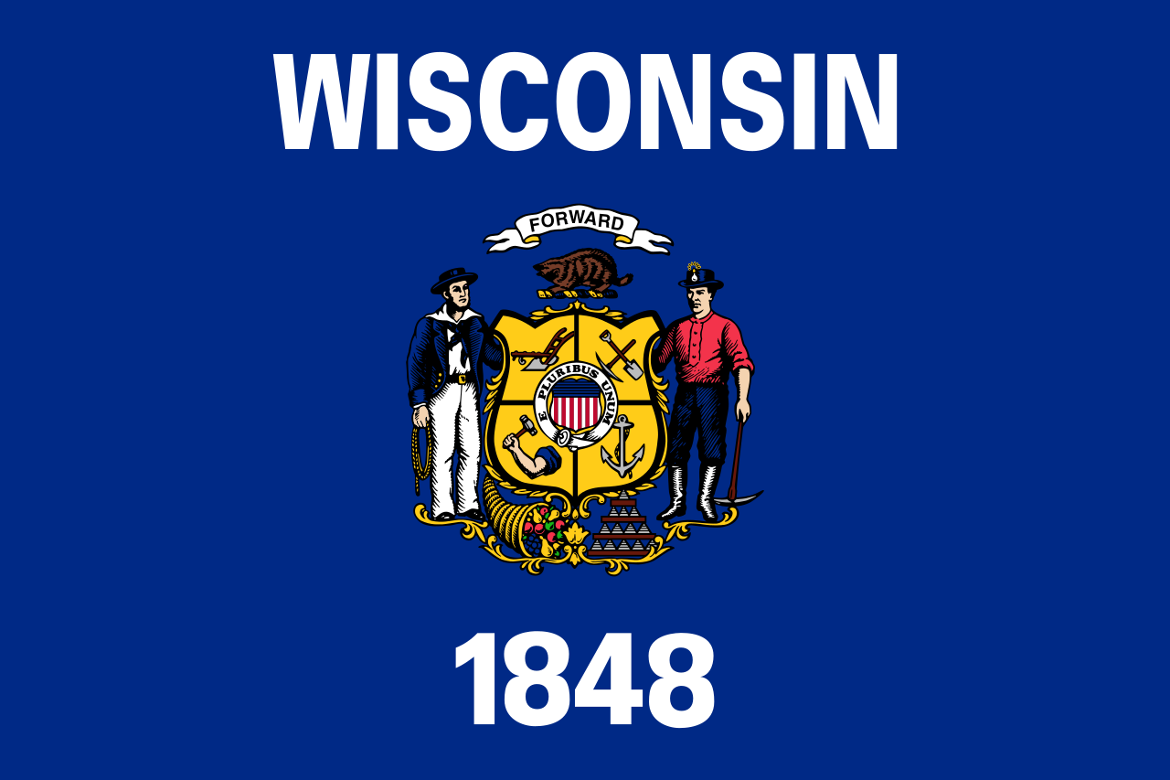 Wisconsin-WI
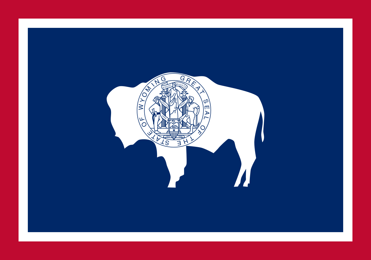 Wyoming-WY
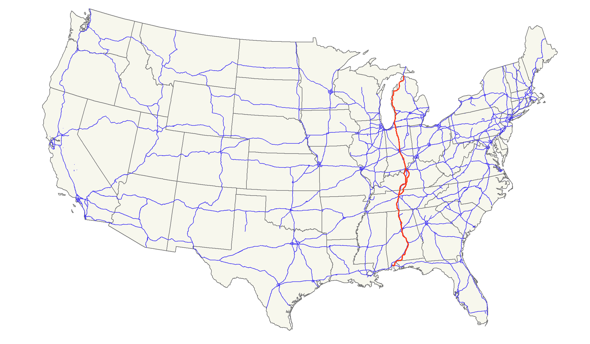
Der U.S. Highway 31 (kurz US 31) ist ein United States Highway in den Vereinigten Staaten. Er verläuft in Nord-Süd-Richtung durch die Bundesstaaten Michigan, Indiana, Kentucky, Tennessee und Alabama auf einer Strecke von etwa 2060 Kilometern.[1] Die Endpunkte liegen im Norden in Mackinaw City in Michigan und im Süden in Spanish Fort in Alabama.
31号美国国道(英语:U.S. Route 31或U.S. Highway 31、US 31)连接北密歇根和南阿拉巴马。其南端与90号及98号美国国道在阿拉巴马州西班牙堡交汇;北端和75号州际公路在密歇根州麦基诺城南部汇合。
以前31号美国国道能以汽车渡轮横跨麦基诺水道后于密歇根上半岛的圣伊尼亚斯连接2号美国国道,然后才沿着麦基诺大桥(属75号州际公路)南向到达麦基诺城。此国道以前亦能经穿过莫比尔湾的长桥进入莫比尔的市中心。
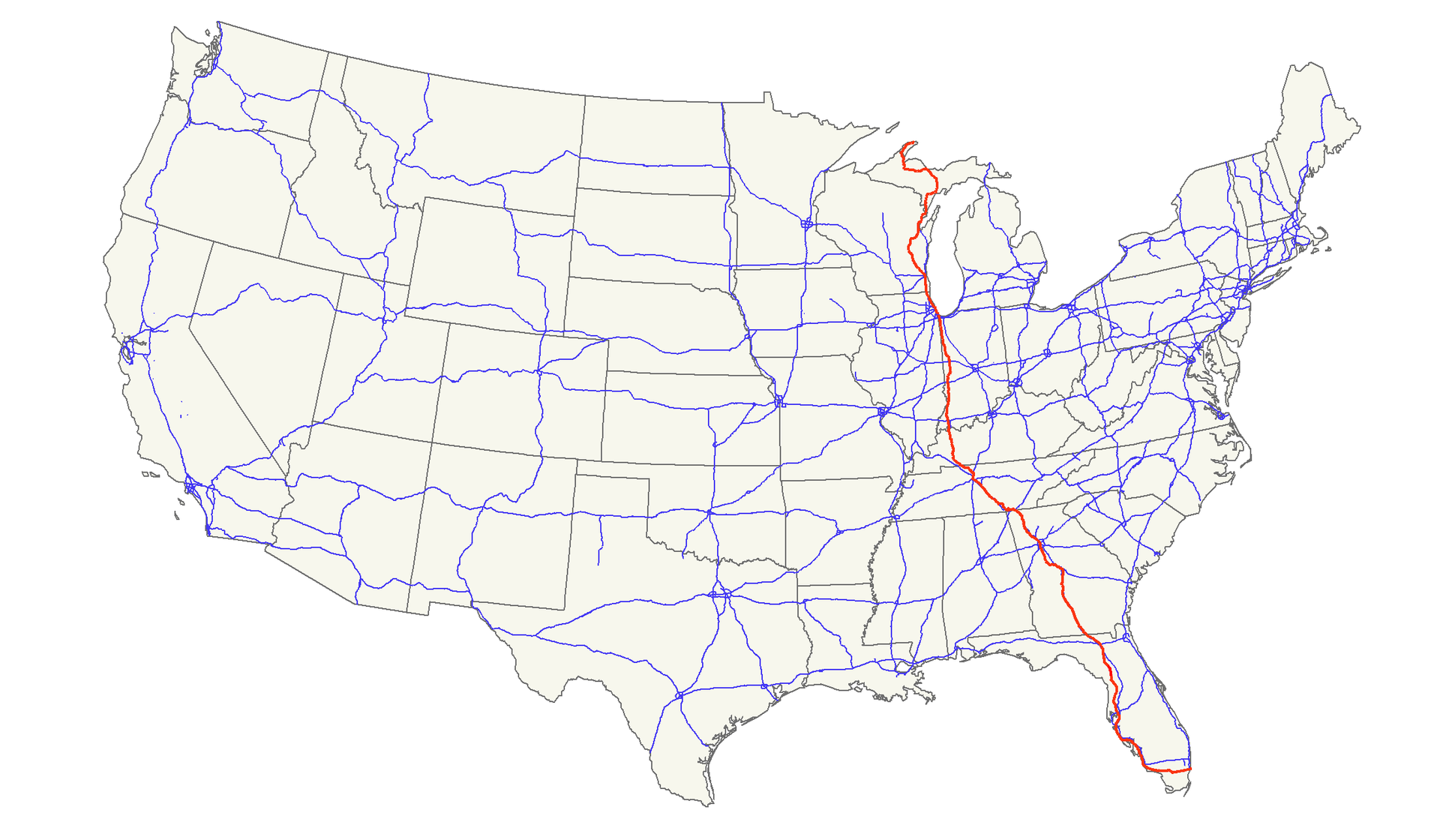
Der U.S. Highway 41 (auch U.S. Route 41 oder US 41) ist ein Highway, der auf 3219 km Länge von Miami in Florida bis Copper Harbor in Michigan verläuft. Die wichtigsten Städte, die der Highway passiert, sind Tampa, Atlanta, Nashville, Chicago und Milwaukee.
41号美国国道(英语:U.S. Route 41)是一条南北方向的美国国道。该公路连接了佛罗里达州迈阿密和密歇根州基威诺县,全长2,000英里。
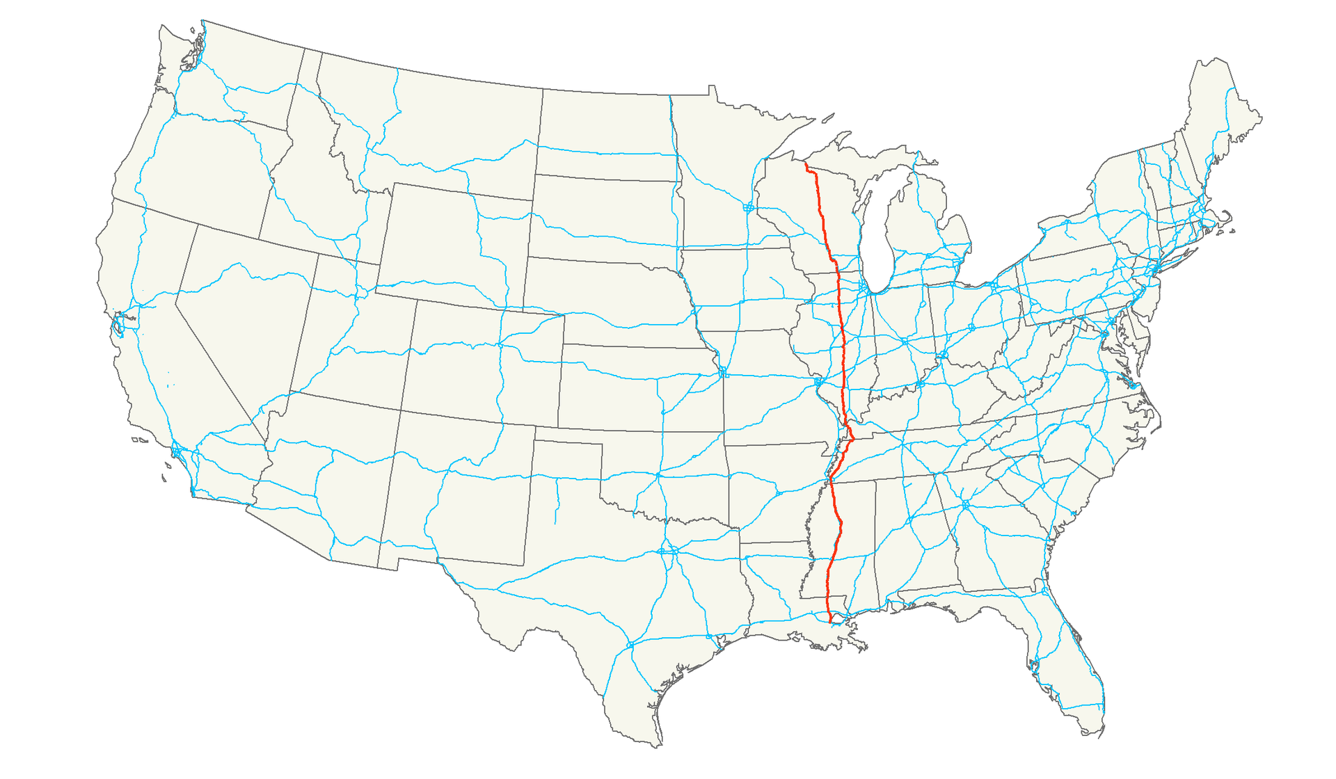
Der U.S. Highway 51 (kurz US 51) ist ein United States Highway in den Vereinigten Staaten. Er beginnt in Hurley im Bundesstaat Wisconsin und endet nach 2070 Kilometern in Laplace.
51号美国国道(英语:U.S. Route 51)是一条南北方向的美国国道。该公路连接了路易斯安那州拉普拉斯和威斯康辛州艾昂县,全长1,286英里。
Arizona-AZ
Illinois-IL
Kentucky-KY
Missouri-MO
New mexico-NM
Oklahoma-OK
Texas-TX
Virginia-VA
West Virginia-WV
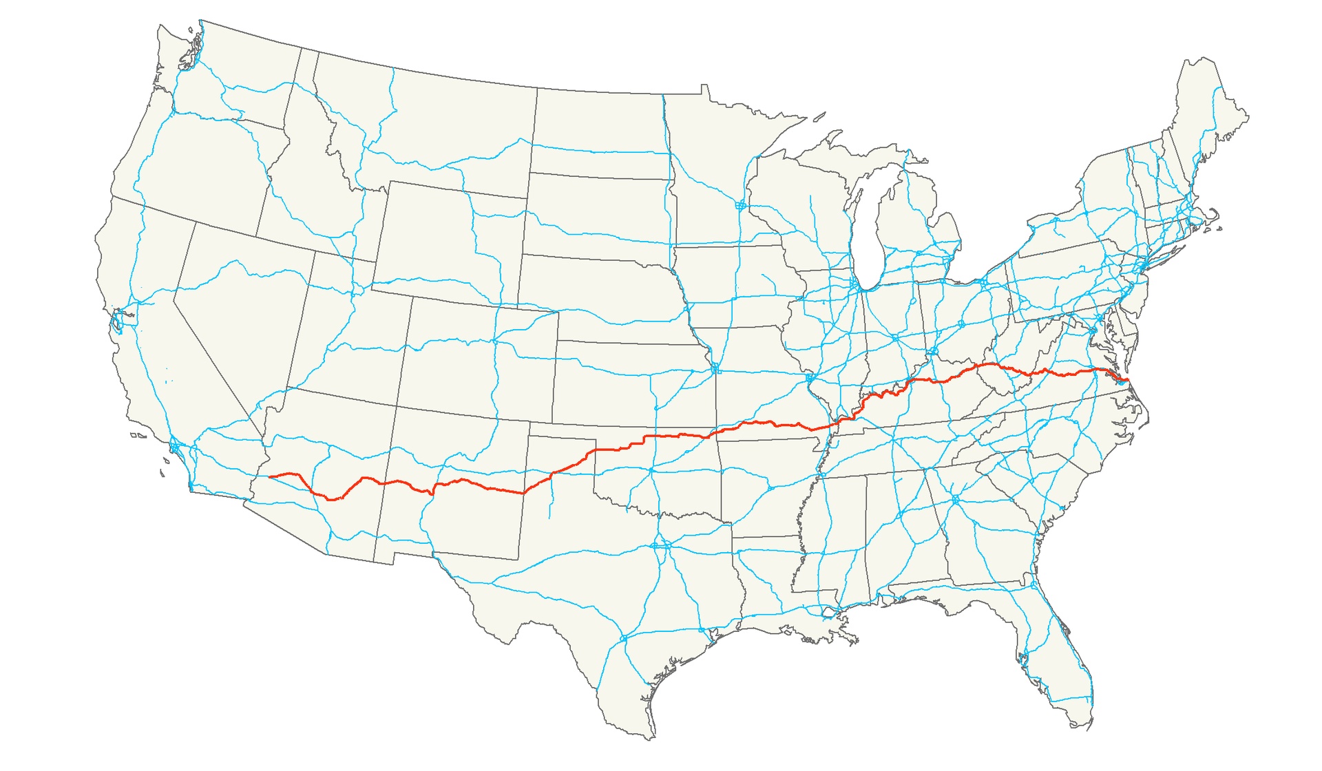
Der U.S. Highway 60 (kurz US 60) ist ein Highway in den Vereinigten Staaten, der durch neun Bundesstaaten führt. Bis 1925 hatte die ehemalige Route 66 die Nummer 60 inne. Als der Highway die Nummer 60 bekam, endete er in Springfield im Bundesstaat Missouri. Seit 2005 endet die Straße in Virginia Beach in Virginia. Von 1932 bis 1966 begann sie in Los Angeles, bis der Anfang nach Quartzsite im Bundesstaat Arizona an die Interstate 10 verschoben wurde. Der Abschnitt zwischen Los Angeles und der Grenze zu Arizona wurde zur California State Route 60.
美国国道60是一条横越美国东西方的公路,全长2,670英哩(4,300公里),从维吉尼亚到亚利桑那。
 Sport
Sport
 Alabama-AL
Arizona-AZ
Arkansas-AR
California-CA
Colorado-CO
Connecticut-CT
Alabama-AL
Arizona-AZ
Arkansas-AR
California-CA
Colorado-CO
Connecticut-CT
 Energy resource
*Electrical power
Florida-FL
Georgia-GA
Hawaii-HI
Idaho-ID
Indiana-IN
Iowa-IA
Kentucky-KY
Louisiana-LA
Maine-ME
Maryland-MD
Massachusetts-MA
Michigan-MI
Minnesota-MN
Montana-MT
New hampshire-NH
New jersey-NJ
New York-NY
North Carolina-NC
Oklahoma-OK
Oregon-OR
Pennsylvania-PA
Energy resource
Energy resource
*Electrical power
Florida-FL
Georgia-GA
Hawaii-HI
Idaho-ID
Indiana-IN
Iowa-IA
Kentucky-KY
Louisiana-LA
Maine-ME
Maryland-MD
Massachusetts-MA
Michigan-MI
Minnesota-MN
Montana-MT
New hampshire-NH
New jersey-NJ
New York-NY
North Carolina-NC
Oklahoma-OK
Oregon-OR
Pennsylvania-PA
 South Carolina-SC
Texas-TX
United States
Vermont-VT
Virginia-VA
Washington-WA
Wisconsin-WI
South Carolina-SC
Texas-TX
United States
Vermont-VT
Virginia-VA
Washington-WA
Wisconsin-WI

| Last Modified on November 21, 2022 *Capacity noted in (MW) |
| Plant | Location | Feedstock | Capacity |
|---|---|---|---|
| Agrilectric Power Partners Ltd. | LA | Rice hulls | 12.00 |
| Albany Green Energy | GA | Forest residue, urban wood waste, pecan shells, peanut hulls | 50.00 |
| Allendale Biomass | SC | Mill/forestry residue | 20.00 |
| Altavista Power Station | VA | Woody biomass | 51.00 |
| Arnold O. Chantland Incineration Plant | IA | MSW/Refused-derived fuel (RDF) | 4.00 |
| Barron County Waste-to-Energy & Recycling Facility | WI | MSW | 2.00 |
| Bay Front Power Plant | WI | Wood waste | 56.00 |
| Biomass One | OR | Logging/wood debris | 30.00 |
| Bridgewater Power LP | NH | Woody biomass | 20.00 |
| Buckeye Florida Biomass | FL | Wood waste, black liquor | 69.40 |
| Burgess BioPower | NH | Wood waste | 75.00 |
| Burney Forest Power | CA | Wood waste | 31.00 |
| Cadillac Renewable Energy | MI | Forest residue | 40.00 |
| City of Spokane Waste to Energy Facility | WA | MSW | 22.00 |
| Collins Pine Co. Power Plant | CA | Forest thinnings/residue | 12.00 |
| Covanta Alexandria | VA | MSW | 22.00 |
| Covanta Babylon | NY | MSW | 17.00 |
| Covanta Bristol | CT | MSW | 16.00 |
| Covanta Camden | NJ | MSW | 21.00 |
| Covanta Dade | FL | MSW, wood waste | 77.00 |
| Covanta Delaware Valley | PA | MSW | 87.00 |
| Covanta Essex | NJ | MSW | 66.00 |
| Covanta Fairfax | VA | MSW | 93.00 |
| Covanta Harrisburg | PA | MSW | 21.00 |
| Covanta Haverhill | MA | MSW | 45.00 |
| Covanta Hempstead | NY | MSW | 72.00 |
| Covanta Hillsborough | FL | MSW | 47.00 |
| Covanta Honolulu | HI | MSW | 90.00 |
| Covanta Huntington | NY | MSW | 24.00 |
| Covanta Indianapolis | IN | MSW | 6.50 |
| Covanta Kent | MI | MSW | 17.00 |
| Covanta Lake | FL | MSW | 15.00 |
| Covanta Lancaster | PA | MSW | 33.00 |
| Covanta Lee | FL | MSW | 57.00 |
| Covanta Long Beach | CA | MSW | 36.00 |
| Covanta MacArthur | NY | MSW | 12.00 |
| Covanta Marion | OR | MSW | 13.00 |
| Covanta Montgomery | MD | MSW | 63.00 |
| Covanta Niagara | NY | MSW | 50.00 |
| Covanta Onondaga | NY | MSW | 39.00 |
| Covanta Palm Beach Renewable Energy #1 | FL | MSW | 62.00 |
| Covanta Palm Beach Renewable Energy #2 | FL | MSW | 95.00 |
| Covanta Pasco | FL | MSW | 30.00 |
| Covanta Pinellas | FL | MSW | 75.00 |
| Covanta Plymouth | PA | MSW | 32.00 |
| Covanta SECONN | CT | MSW | 17.00 |
| Covanta SEMASS | MA | MSW | 78.00 |
| Covanta Stanislaus | CA | MSW | 22.00 |
| Covanta Tulsa | OK | MSW | 17.00 |
| Covanta Union | NJ | MSW | 42.00 |
| Covanta York | PA | MSW | 42.00 |
| Cox Waste-to-Energy | KY | Wood waste | 5.00 |
| Craven County Wood Energy | NC | Wood chips, forestry residue, mill waste, bark, sawdust, poultry litter | 50.00 |
| Deerhaven Renewable Generating Station | FL | Wood waste | 102.50 |
| Desert View Power | CA | Woody biomass | 45.00 |
| DG Fairhaven Power | CA | Wood waste | 18.00 |
| Dillard Complex Cogeneration Plant | OR | Mill residue | 51.50 |
| Dorchester Biomass | SC | Mill/forestry residue | 20.00 |
| Douglas County Forest Products | OR | Wood residue | 6.00 |
| DTE Stockton Biomass Power | CA | Woody biomass, ag residue | 45.00 |
| Eagle Valley Clean Energy | CO | Forest restoration thinnings/residue | 12.00 |
| Ecomaine Waste-to-Energy Plant | ME | MSW | 14.00 |
| Evergreen Biopower LLC | OR | Mill residue | 10.00 |
| Fernandina Biomass Plant | FL | Mill residuals | 22.50 |
| French Island Generating Station | WI | MSW/RDF, wood waste, railroad ties | 28.00 |
| Genesee Power Station | MI | Landscaping/storm debris, waste wood | 40.00 |
| Grayling Generating Station | MI | Forestry residue, mill waste, bark | 38.00 |
| Green Energy Team LLC | HI | Eucalyptus, albizia | 7.50 |
| GRP-Franklin LLC | GA | C&D waste | 65.00 |
| GRP-Madison LLC | GA | C&D waste | 65.00 |
| Halifax County Biomass Plant | VA | Logging waste, forest slash | 49.90 |
| Hennepin Energy Recovery Center | MN | MSW | 40.00 |
| Hillman Power LLC | MI | Wood waste | 20.00 |
| Honey Lake Power | CA | High-hazard forest material/thinnings | 30.00 |
| Hopewell Power Station | VA | Woody biomass | 51.00 |
| Joseph C McNeil Generating Station | VT | Logging residue, bark, shavings, clean urban wood waste | 50.00 |
| Kapstone Kraft Paper Corp.-Longview | WA | Mill residue, wood waste | 25.00 |
| Kettle Falls Generating Station | WA | Logging/mill residue | 53.00 |
| Koda Energy LLC | MN | Oat/rice hulls, corn, barley and malt screening, urban tree waste | 23.40 |
| L'Anse Warden Electric Company | MI | Wood waste, railroad ties | 20.00 |
| M.L. Hibbard Energy Center | MN | Wood waste | 72.80 |
| Macon Mill | GA | Logging waste | 38.00 |
| McKay Bay Refuse-to-Energy Plant | FL | MSW | 22.00 |
| McKinley Paper Cogeneration Facility | WA | Logging/mill residue | 9.50 |
| Merced Power | CA | Ag waste | 12.50 |
| MMWAC Resource Recovery Facility | ME | MSW | 5.00 |
| Mt. Poso Cogeneration Co. LLC | CA | Wood waste | 44.00 |
| Multitrade Rabun Gap | GA | Woody biomass | 18.00 |
| National Energy-Lincoln | MI | Wood waste | 18.00 |
| National Energy-McBain | MI | Wood waste | 18.00 |
| North Carolina Renewable Power | NC | C&D waste, wood waste, poultry litter | 22.00 |
| North Fork Community Power | CA | High-hazard forest material | 2.00 |
| Novo BioPower LLC | AZ | Wood waste | 27.00 |
| Okeelanta Biomass Cogeneration | FL | Baggasse, natural gas | 74.90 |
| Olmsted Waste-To-Energy Facility | MN | MSW | 9.60 |
| Oswego Energy Recovery Facility | NY | MSW | 4.00 |
| Pacific Ultrapower Chinese Station | CA | Woody biomass | 25.00 |
| Penobscot Energy Recovery | ME | MSW | 25.00 |
| Piedmont Green Power | GA | Urban wood waste, mill and logging residue | 55.00 |
| Plainfield Renewable Energy | CT | C&D/forestry waste | 37.50 |
| Plummer Cogen | ID | Wood waste | 6.20 |
| Potlatch Land & Lumber Power Plant | AR | Bark, sawdust, shavings | 10.00 |
| Rapids Energy Center | MN | Logging/mill residue | 28.60 |
| Red Wing Generating Station | MN | MSW/RDF | 22.00 |
| ReEnergy Black River | NY | Woody biomass | 60.00 |
| ReEnergy Livermore Falls | ME | Forest residue, C&D waste | 39.00 |
| ReEnergy Stratton | ME | Forest/mill residue | 48.00 |
| Resolute Forest Products Coosa Pines | AL | Wood-processing waste | 30.00 |
| Rio Bravo Fresno | CA | Ag/urban wood waste | 24.30 |
| Rio Bravo Rocklin | CA | High-hazard forest material, ag/urban waste | 24.40 |
| RockTenn-Tacoma Mill | WA | Mill residue | 55.00 |
| Roseburg Forest Products Biomass | CA | Wood waste | 13.00 |
| Rothschild Biomass Cogeneration Plant | WI | Urban wood waste, mill residue | 50.00 |
| Savannah River Site Biomass Cogeneration Facility | SC | Forest residue | 20.00 |
| Scotia Cogen | CA | Wood waste | 28.00 |
| SDS Lumber Gorge Energy Division | WA | Logging/mill residue | 10.00 |
| Shasta-Sustainable Resource Management | CA | Wood waste, forest residue | 56.00 |
| Southampton Power Station | VA | Woody biomass | 51.00 |
| Southern Co. Nacogdoches Generating Facility | TX | Forest/wood processing residue | 115.00 |
| SPI-Aberdeen Biomass Power | WA | Logging/mill residue | 18.00 |
| SPI-Anderson Biomass Power | CA | Logging/mill residue | 30.00 |
| SPI-Burlington Biomass Power | WA | Logging/mill residue | 28.00 |
| SPI-Burney | CA | Logging/mill residue | 20.00 |
| SPI-Eugene | OR | Mill, forest residue | 19.80 |
| SPI-Lincoln Biomass Power | CA | Logging/mill residue | 18.00 |
| SPI-Quincy Biomass Power | CA | Mill residue | 35.20 |
| SPI-Sonora Biomass Power | CA | Logging/mill residue | 10.90 |
| St. Paul Cogeneration LLC | MN | Urban wood residue | 33.00 |
| Stoltze Cogeneration Power Plant | MT | Mill residue | 3.00 |
| Stored Solar Bethlehem | NH | Logging residue, forest thinnings | 20.00 |
| Stored Solar Fitchburg | MA | Woody biomass | 17.00 |
| Stored Solar Jonesboro | ME | Woody biomass | 25.00 |
| Stored Solar Ryegate | VT | Woody biomass | 20.00 |
| Stored Solar Springfield | NH | Woody biomass | 19.00 |
| Stored Solar Tamworth | NH | Woody biomass | 20.00 |
| Stored Solar West Enfield | ME | Woody biomass | 25.00 |
| Stored Solar Whitefield | NH | Woody biomass | 15.00 |
| Telogia Power | FL | Logging/mill residue, hog fuel, peanut hulls | 14.00 |
| U.S. Sugar Corp. Cogeneration Plant | FL | Bagasse | 50.00 |
| Virginia City Hybrid Energy Center | VA | *Woody biomass | 120.00 |
| Wadham Energy LP | CA | Rice hulls | 30.00 |
| Westervelt Renewable Energy Moundville | AL | Wood waste | 13.00 |
| WestRock Covington | VA | Logging, papermaking residue | 75.00 |
| Wheelabrator Baltimore | MD | MSW | 64.50 |
| Wheelabrator Bridgeport | CT | MSW | 67.00 |
| Wheelabrator Concord | NH | MSW | 14.00 |
| Wheelabrator Dutchess County | NY | MSW | 9.00 |
| Wheelabrator Falls | PA | MSW | 53.00 |
| Wheelabrator Gloucester | NJ | MSW | 14.00 |
| Wheelabrator Hudson Falls | NY | MSW | 14.00 |
| Wheelabrator Lisbon | CT | MSW | 15.00 |
| Wheelabrator Millbury | MA | MSW | 48.00 |
| Wheelabrator North Andover | MA | MSW | 40.00 |
| Wheelabrator Portsmouth | VA | MSW | 60.00 |
| Wheelabrator Saugus | MA | MSW | 54.00 |
| Wheelabrator South Broward | FL | MSW | 66.00 |
| Wheelabrator Westchester LP | NY | MSW | 60.00 |
| Wilmarth Generating Station | MN | MSW/RDF, woody biomass | 18.00 |
| Woodland Biomass Power | CA | Wood chips, urban wood waste, ag waste | 25.00 |
| Total Plants: 159 | Total capacity(MW): | 5,583.90 |