
漢德百科全書 | 汉德百科全书
 Canada
 Architecture

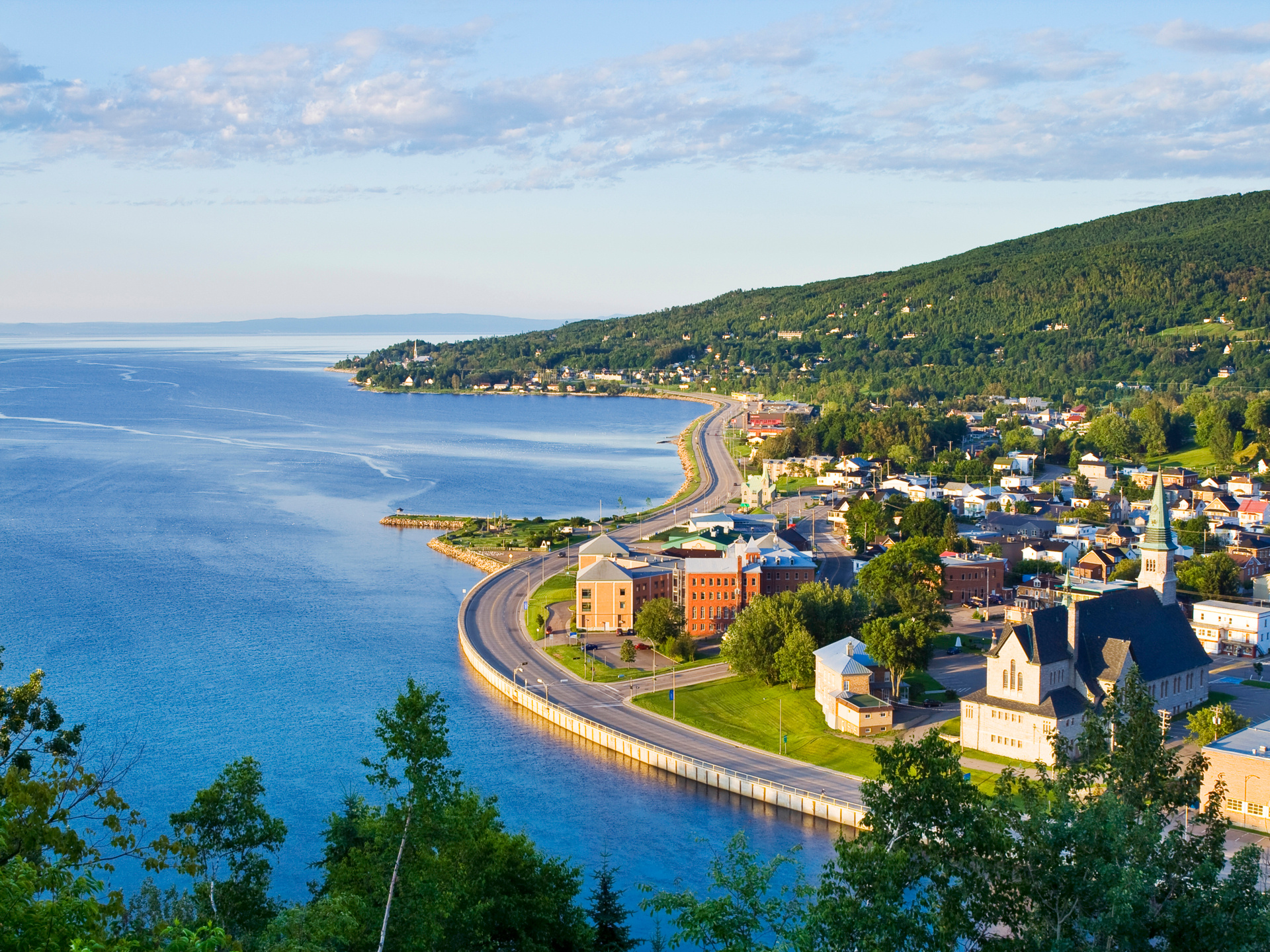
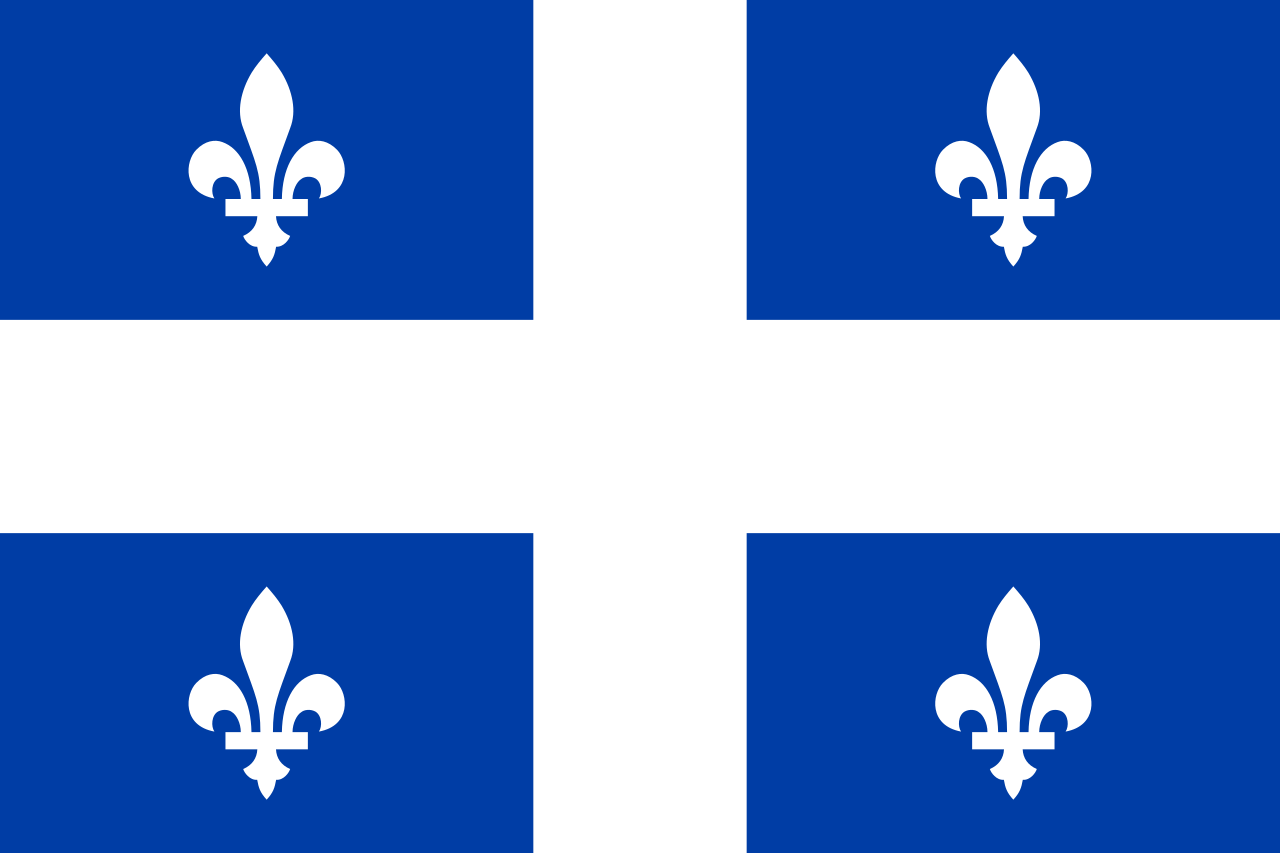 Quebec-QC

 Religion

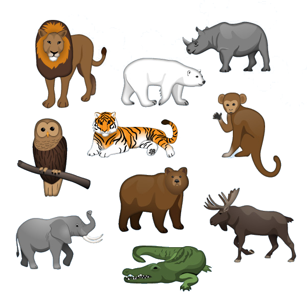 Animal world
 Geography
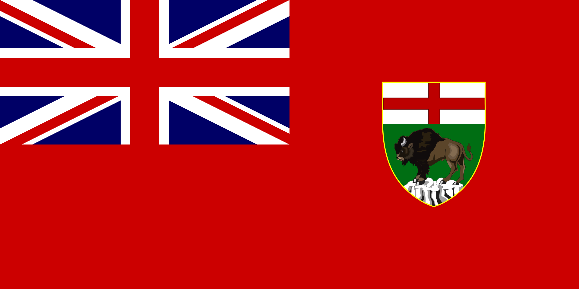 Manitoba-MB

Der Riding-Mountain-Nationalpark (englisch Riding Mountain National Park of Canada, französisch Parc national du Canada du Mont-Riding) ist ein Nationalpark in Kanadas Provinz Manitoba mit einer Fläche von 2973 km².
Der Park liegt etwa 30 Kilometer südlich der Stadt Dauphin und ist über den Kanada-Highway Nr. 10, der direkt durch den Park führt, zu erreichen. Das Gelände des waldreichen Parks mit zahlreichen Seen unterscheidet sich deutlich von der Prärielandschaft Manitobas. Bei der Gründung sprach man von der „Insel der Wildnis im Ozean aus Farmland“, ohne zu erwähnen, dass im Park noch Indianer lebten, die 1936 vertrieben wurden. Riding Mountain wurde 1986 als Biosphärenreservat der UNESCO vorgeschlagen und anerkannt.
雷丁山国家公园是加拿大马尼托巴湖的国家公园,位于曼尼托巴悬崖的顶上。覆盖了2,969㎞²的保护区[1],草木丛生的风景区与周围的草原农庄相得益彰。因保护着与众不同的生态系统,如草地、高地和东部和北方珍稀的森林而被指定为国家公园。公园是狼、驼鹿、麋鹿和黑熊以及上百种鸟类和数不胜数昆虫和北美野牛群种的天堂。经由10号公路极易到达公园。南部入口是瓦萨戈明城,是公园边界线上的商业中心。
1929年,公园受到保护,20世纪30年代,加拿大大萧条救济计划的劳工参与创建了大部分公共基础设施。早期基础设施仍存留于今。二次世界大战中,它是战俘的庇护营,后已被拆卸。1986年,雷丁山被联合国教科文组织指定为生物圈保护区。
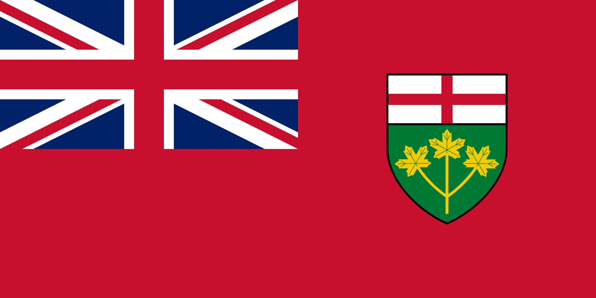 Ontario-ON

 Energy resource
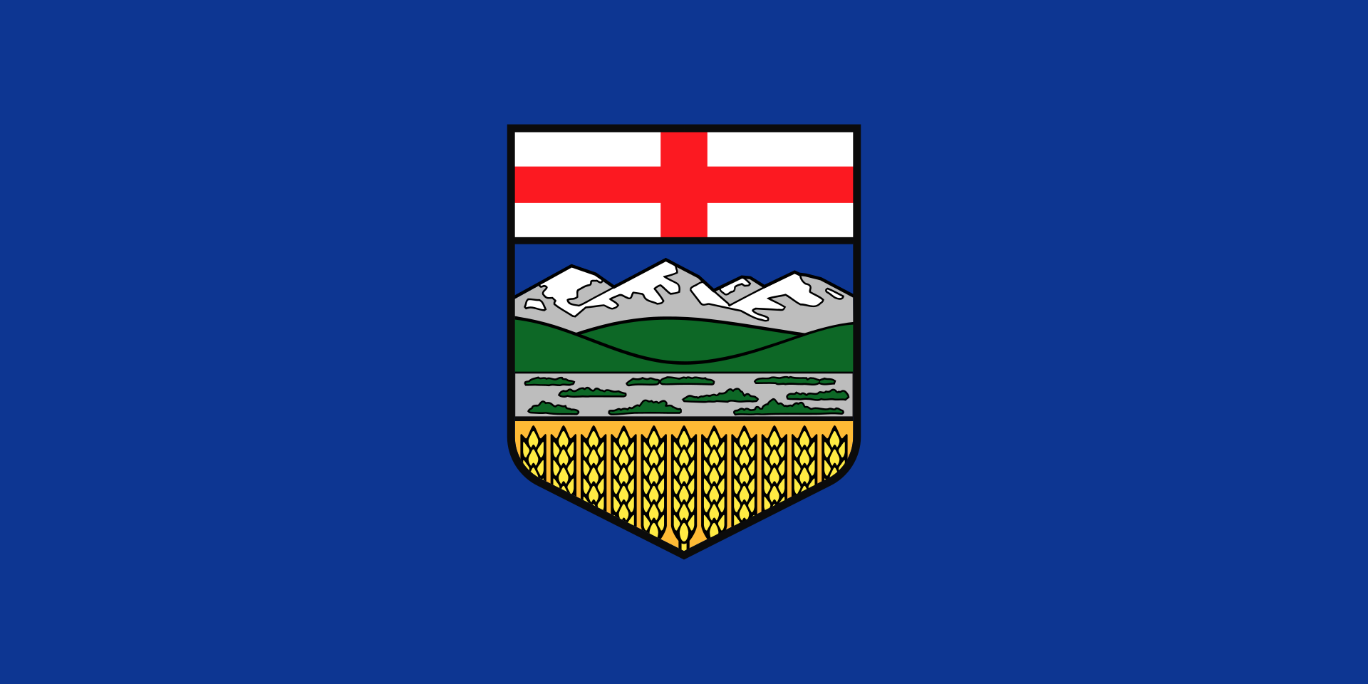 Alberta-AB
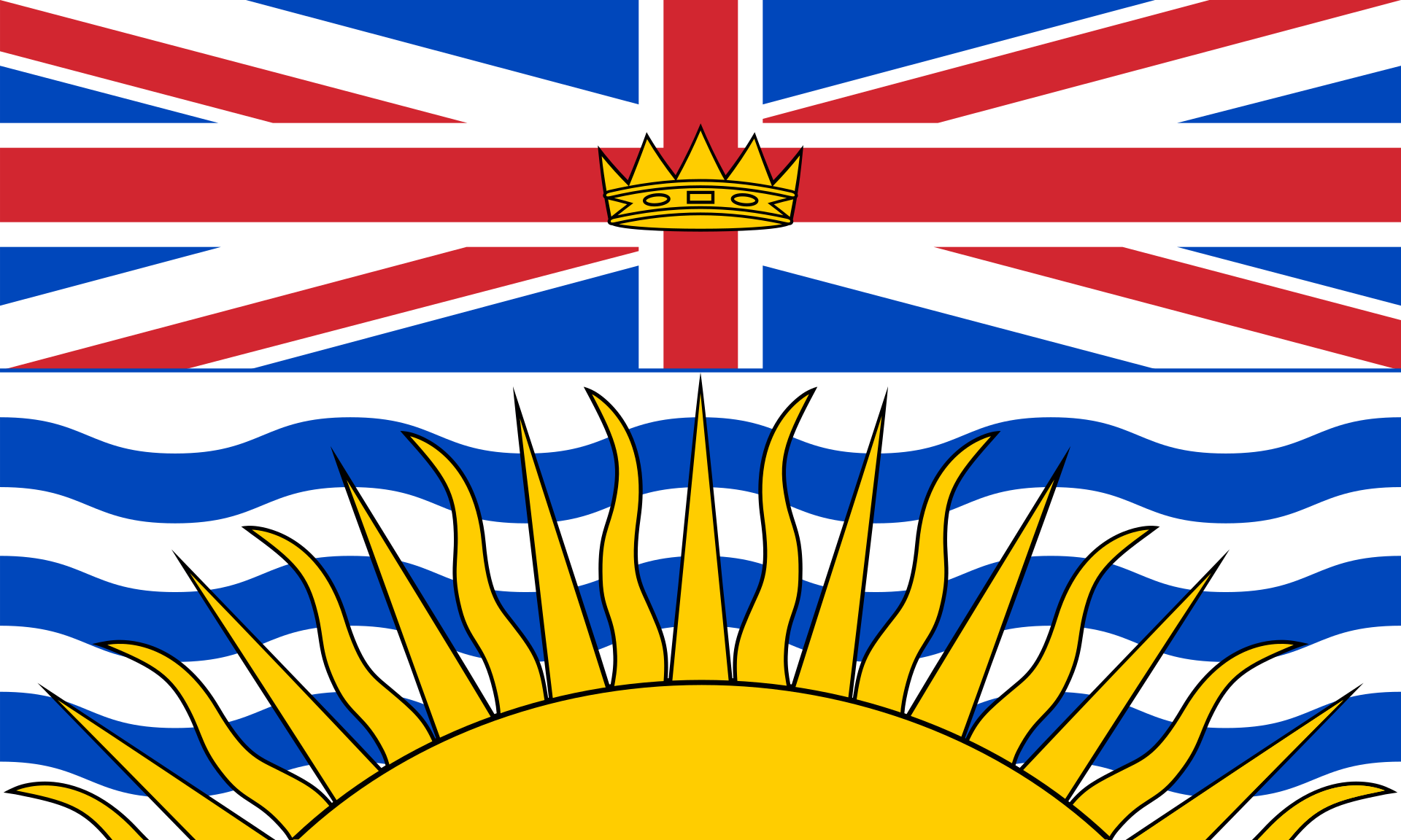 British Columbia-BC
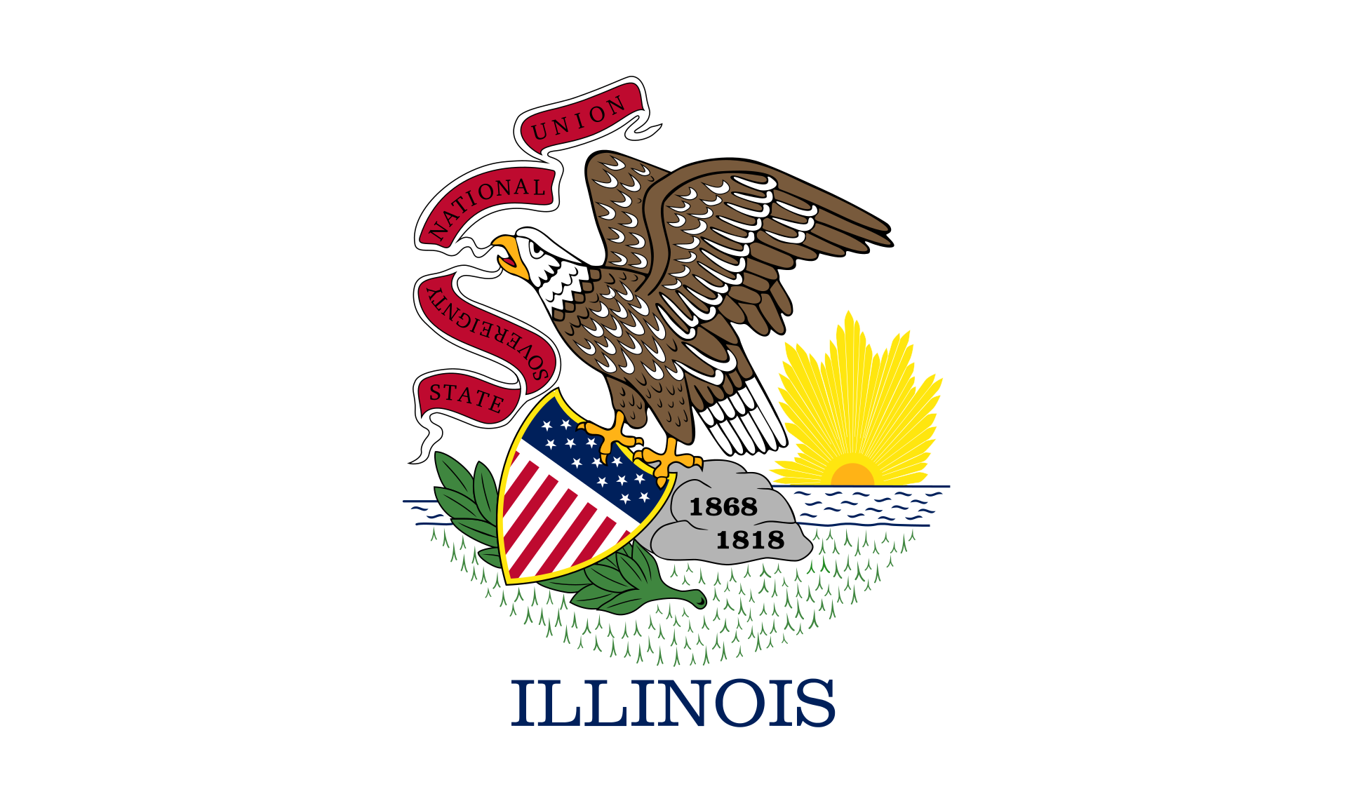 Illinois-IL
 Iowa-IA
Canada
Iowa-IA
Canada
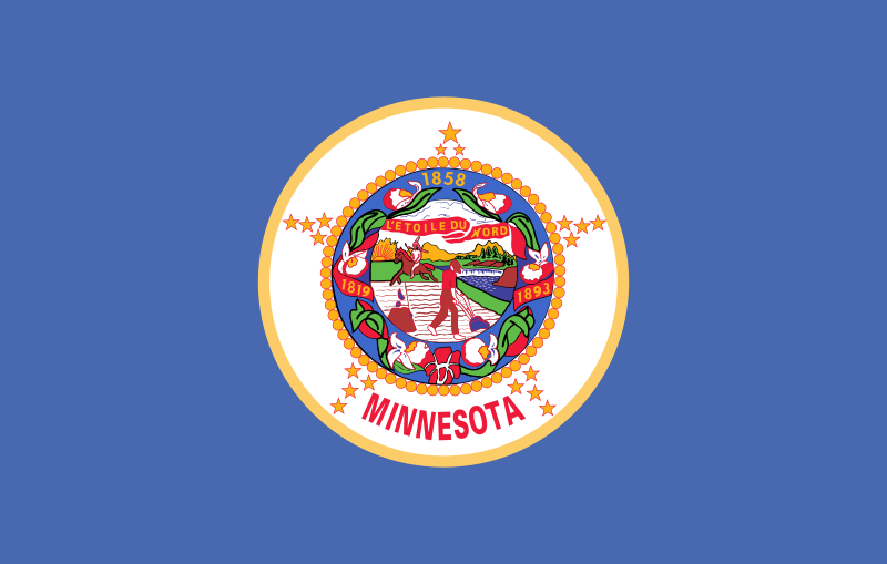 Minnesota-MN
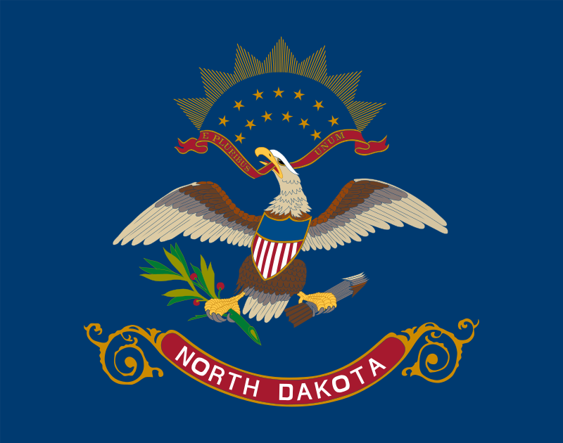 North Dakota-ND
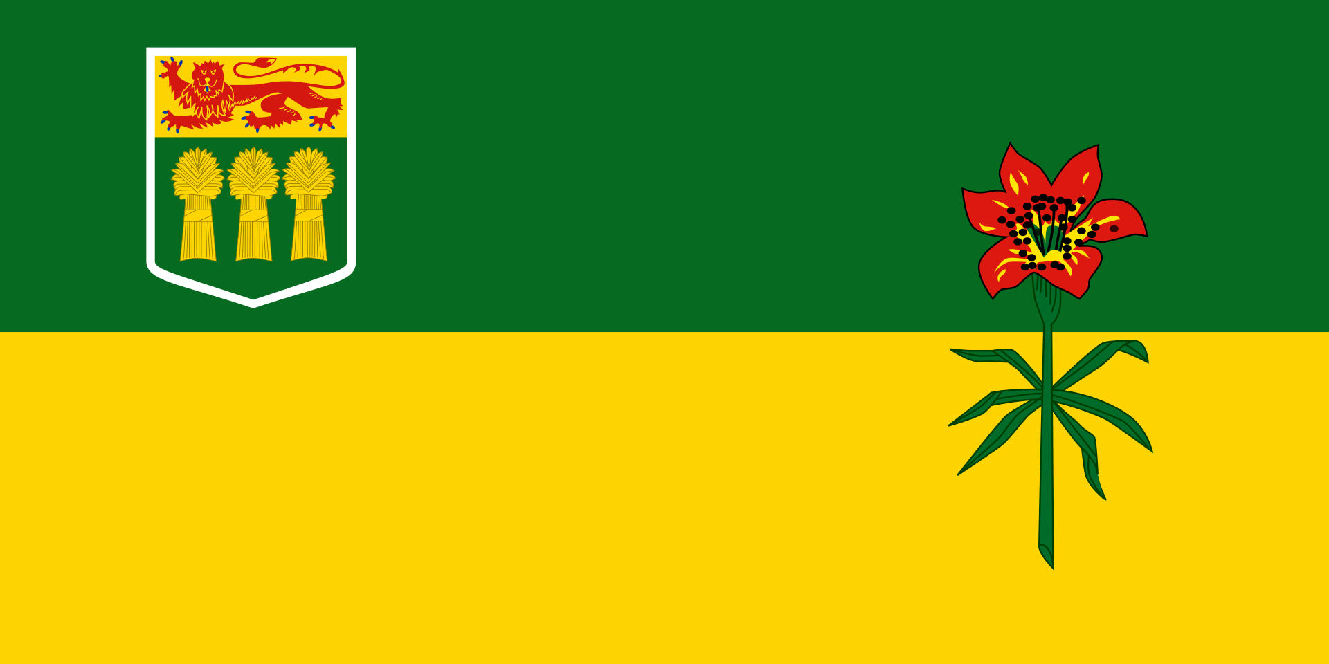 Saskatchewan-SK
United States
Saskatchewan-SK
United States
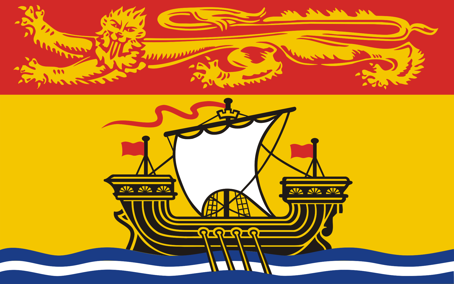 New Brunswick-NB
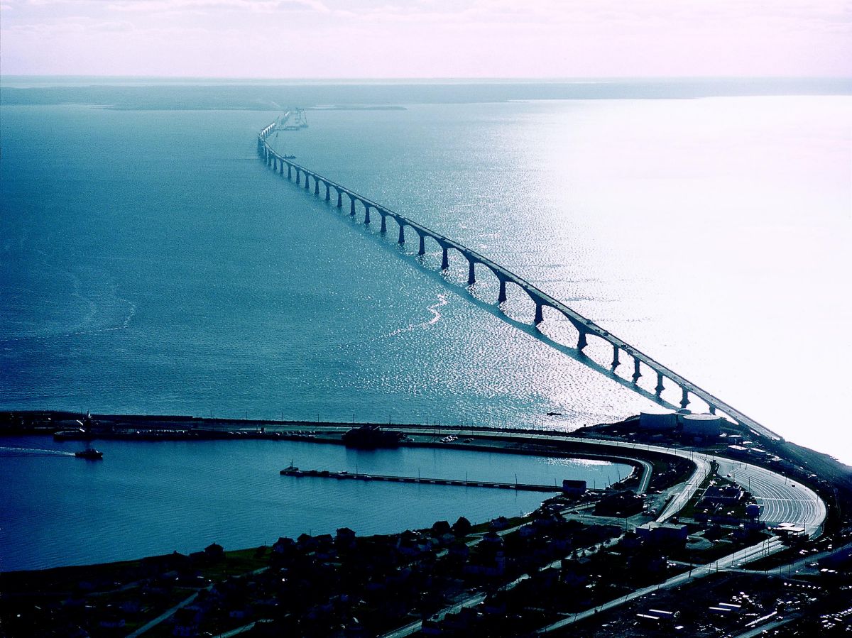
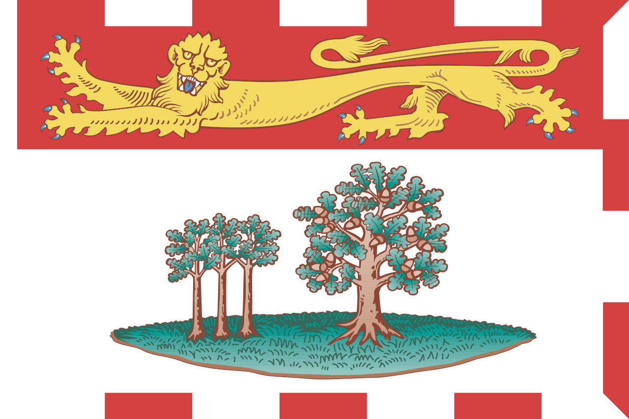 Prince Edward Island-PEI
 Sport
Sport
 Life and Style
 Fashion world


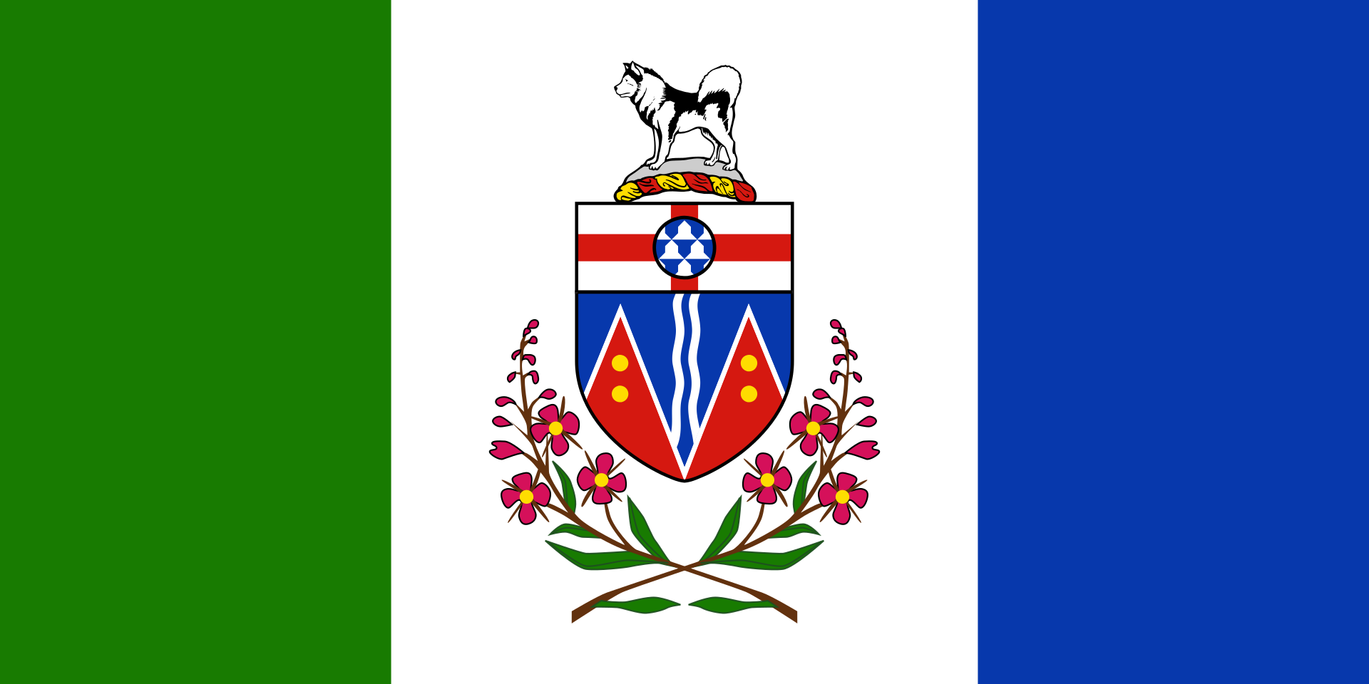 Yukon-YT
Der Mount Logan – in der Eliaskette im Südwesten des kanadischen Territoriums Yukon, im Kluane-Nationalpark, gelegen – ist mit 5959 m der höchste Berg Kanadas und nach dem Denali (Mount McKinley) der zweithöchste Gipfel Nordamerikas; als solcher zählt er zu den Seven Second Summits. Der Berg wurde 1890 entdeckt und 1891 nach dem damals sehr bekannten Geologen Sir William Edmond Logan benannt. Mittlerweile gibt es 13 verschiedene Routen zum Gipfel, und seine Besteigung gilt als eine der schwierigsten Nordamerikas. Neben dem Hauptgipfel gibt es drei weitere Gipfel über 5890 m.
洛根山(英语:Mount Logan)是加拿大的最高峰,也是北美洲第二高峰,海拔5,959米(19,551英尺),仅次于迪那利山。洛根山是以威廉·爱德蒙·洛根爵士(William Edmond Logan)来命名,他是一位加拿大的地质学家,也是加拿大地质调查局(Geological Survey of Canada)的创始人。洛根山位于加拿大育空地区南部的克鲁瓦尼国家公园及保留地(Kluane National Park and Reserve)境内,也是哈伯冰河(Hubbard Glacier)及洛根冰河的源头。除了火山,洛根山的周长是世界上最长的,并拥有11座5,000米(16,400英尺)的山峰。
Alberta-AB
British Columbia-BC
 Colorado-CO
 Idaho-ID
Canada
Idaho-ID
Canada
 Montana-MT
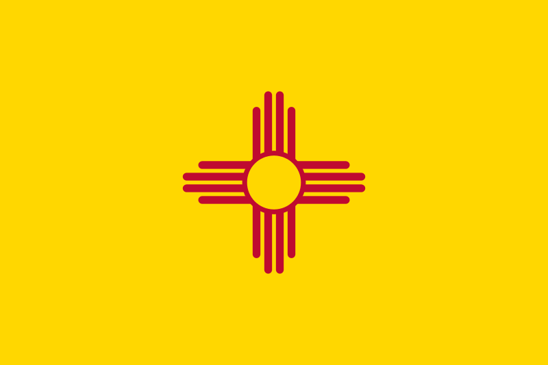 New mexico-NM
United States
New mexico-NM
United States
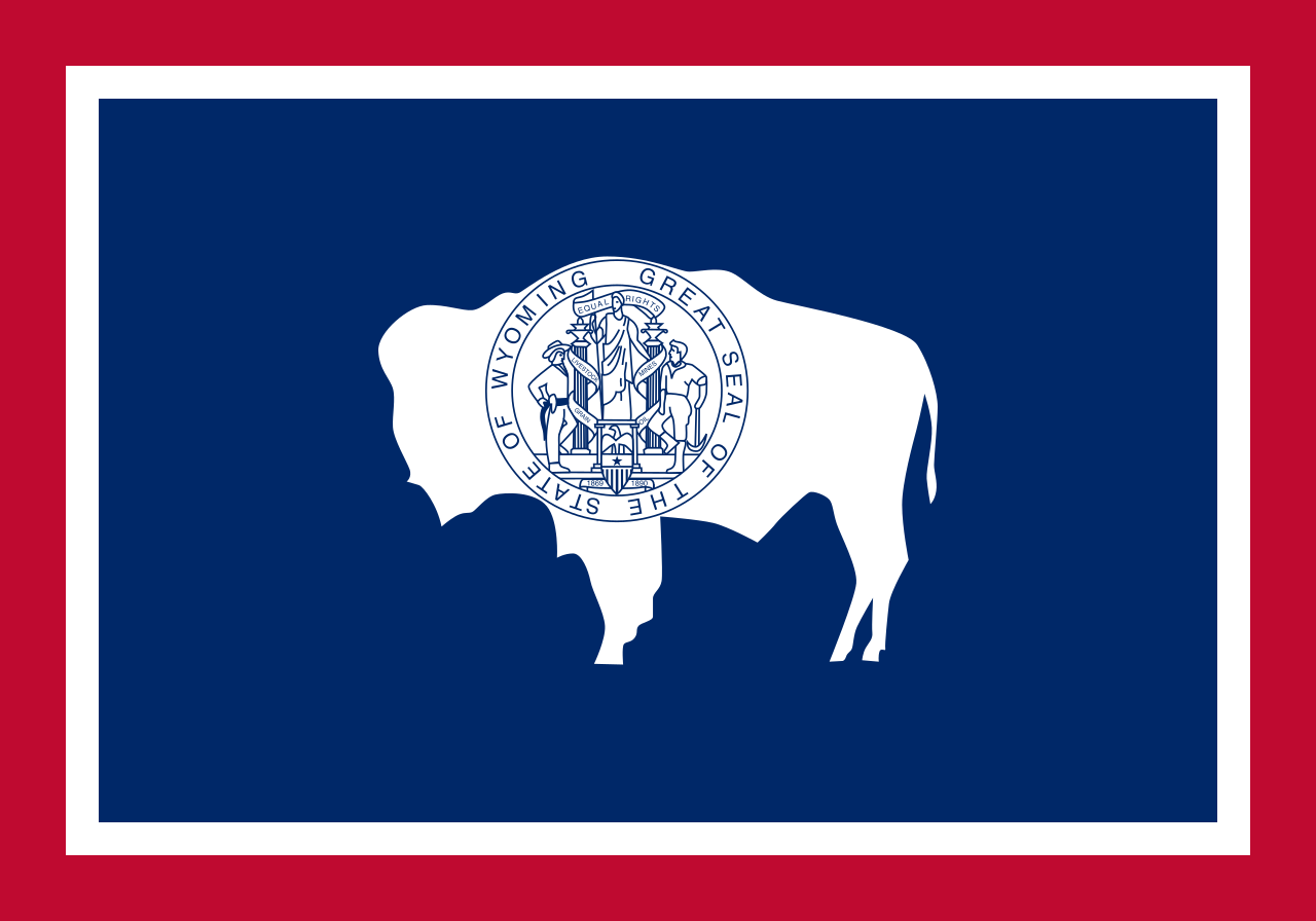 Wyoming-WY
Die Rocky Mountains [ˌɹɒkiˈmaʊntənz] (deutsch, aber veraltet auch Felsengebirge, umgangssprachlich auch Rockies genannt) sind ein ausgedehntes Faltengebirge im westlichen Nordamerika. Die Berge erstrecken sich, je nach Definition, über 4500–5000 km von New Mexico durch die kontinentalen Vereinigten Staaten bis nach Kanada und bilden eine der wesentlichen geografischen Provinzen der USA.
Nicht zu den Rocky Mountains zählen die Coast Mountains, die Kaskadenkette und die Sierra Nevada. Der Mount Elbert in Colorado ist mit 4401 m der höchste Berg der Rocky Mountains.
Die Rocky Mountains sind Teil der von Feuerland bis Alaska reichenden Kordilleren. Sie beheimaten bedeutende Nationalparks wie den Yellowstone-Nationalpark und diverse Wintersportzentren. Außerdem sind sie reich an Bodenschätzen. Die Region der in den Rocky Mountains gelegenen US-Bundesstaaten wird Mountain States genannt.
落基山脉(英语:Rocky Mountains),又译作落矶山脉,是美洲西部的主要山脉,从加拿大西部不列颠哥伦比亚横越美国西部,直到美国西南部的新墨西哥州,绵延超过4800公里。和其平行的有太平洋海岸山脉、喀斯喀特山脉及内华达山脉。
此山脉的最高峰是埃尔伯特峰[1],位于科罗拉多州境内,高度有4401米。罗布森山则是加拿大境内的最高峰,高度为3954米。整个落基山脉系统是美国地文区的一大部分。
当时有许多板块在北美洲板块下移动。隐没带的角度很浅,因此造成北美西部广阔的山脉带。进一步的板块构造活动及冰河的侵蚀,使落基山脉出现显著的山峰及峡谷,在第四纪冰河时期结束时,人类开始在落基山脉居住。在欧洲人(例如亚历山大麦肯齐)及美洲人(如刘易斯与克拉克)发现此地区后,开始在此地采矿及打猎制作毛皮,不过落基山脉的人口还是不多。
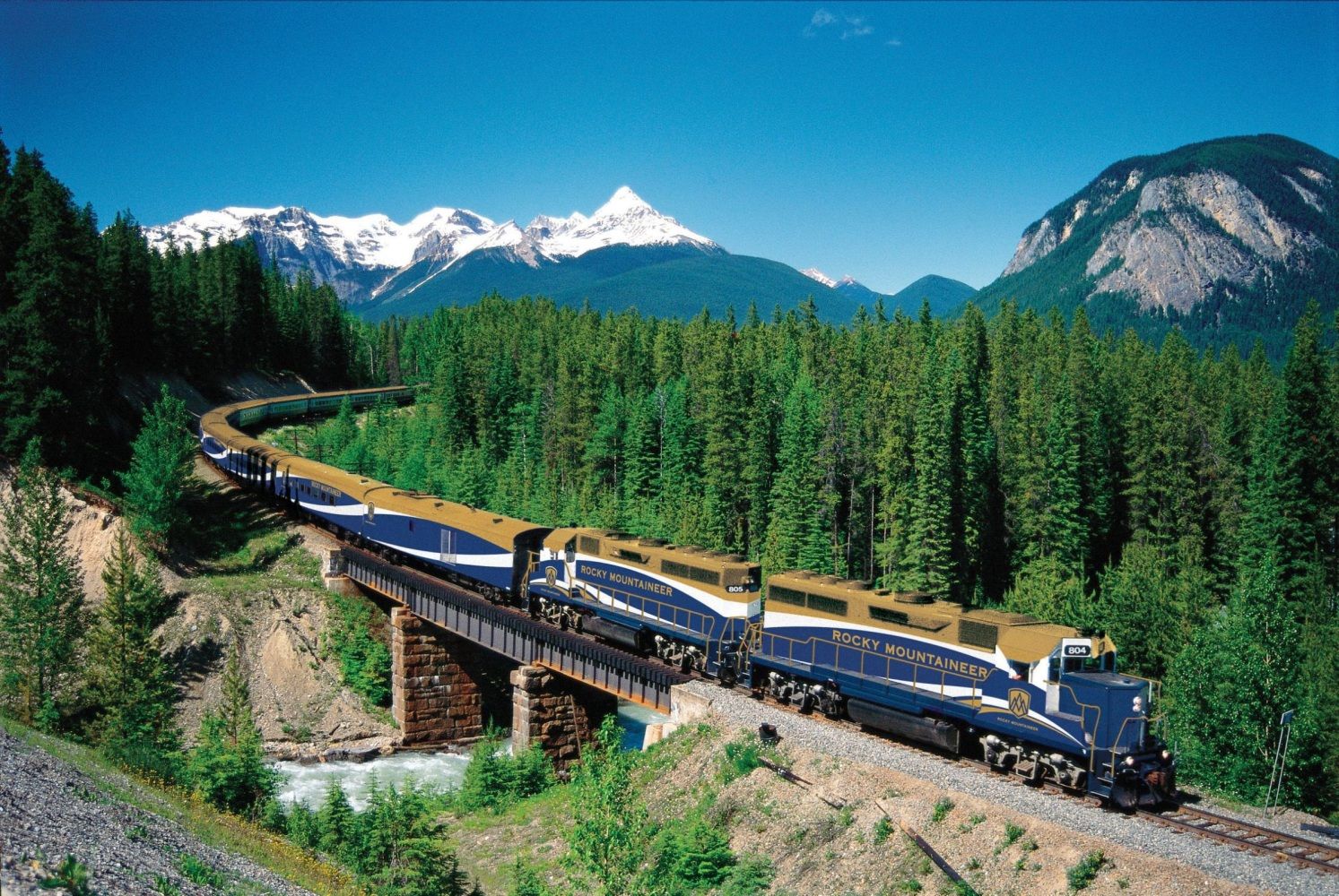
现在的落基山脉中有很多地方是国家公园保护区及森林地,也是受欢迎的旅游景点,可以进行像露营、远足、爬山、钓鱼、打猎、山地自行车、滑雪及单板滑雪等休闲活动。
ロッキー山脈(ロッキーさんみゃく、英: Rocky Mountains、Rockies、仏: Montagnes Rocheuses [mɔ̃ntaɲ ʁɔʃøz]、Rocheuses)は、北アメリカ大陸西部を北西から南東に走る山脈である。ロッキー山脈は北へ行くほど険しい岩山となり、広大な針葉樹の森にはエメラルド色の湖が数多く存在する。
一口に「ロッキー山脈」と言っても実際は複数の山地を連ねた山系で、北は北緯60度に近いカナダ・ブリティッシュコロンビア州最北部から、南は東京23区とほぼ同緯度に位置するアメリカ合衆国ニューメキシコ州の州都サンタフェの近くまで、その長さは4,800kmを超える。
地質学的には、この山脈は褶曲運動により形成された褶曲山脈である。同山脈はアンデス山脈や日本列島などと共に環太平洋火山帯に属している。
山脈の最高峰はアメリカ合衆国コロラド州のエルバート山(4,401m)である。「カナディアン・ロッキー」(Canadian Rockies、Rocheuses canadiennes)と呼ばれるカナダ領内では、ブリティッシュコロンビア州とアルバータ州の州境にそびえるロブソン山(3,954m)が最も高い。
全域にわたって植生や生態系が豊かで、手つかずの自然が残されている地帯も多く、国立公園や世界遺産に登録されている自然遺産も多い。 世界遺産に登録されているのは、バンフ、ジャスパー、クートニィ、ヨーホーの4つの国立公園と、ハンバー、マウント・ロブソン、マウント・アシニボインの3つの州立公園を含めた7つの自然公園である。
The Rocky Mountains, also known as the Rockies, are a major mountain range in western North America. The Rocky Mountains stretch 3,000 mi (4,800 km)[1] in straight-line distance from the northernmost part of British Columbia, in western Canada, to New Mexico in the Southwestern United States. The northern terminus is located in the Liard River area east of the Pacific Coast Ranges, while the southernmost point is near the Albuquerque area adjacent the Rio Grande Basin and north of the Sandia–Manzano Mountain Range. Located within the North American Cordillera, the Rockies are distinct from the Cascade Range and the Sierra Nevada, which all lie farther to the west.
The Rocky Mountains formed 80 million to 55 million years ago during the Laramide orogeny, in which a number of plates began sliding underneath the North American plate. The angle of subduction was shallow, resulting in a broad belt of mountains running down western North America. Since then, further tectonic activity and erosion by glaciers have sculpted the Rockies into dramatic peaks and valleys. At the end of the last ice age, humans began inhabiting the mountain range. After Europeans, such as Sir Alexander Mackenzie, and Americans, such as the Lewis and Clark expedition, began exploring the range, minerals and furs drove the initial economic exploitation of the mountains, although the range itself never experienced a dense population.
Of the 100 highest peaks in the Rocky Mountains, 78 (including the 30 highest) are located in Colorado, ten in Wyoming, six in New Mexico, three in Montana, and one in Utah. Public parks and forest lands protect much of the mountain range, and they are popular tourist destinations, especially for hiking, camping, mountaineering, fishing, hunting, mountain biking, skiing, and snowboarding.
Les montagnes Rocheuses, ou simplement les Rocheuses, en anglais Rocky Mountains ou Rockies, sont une grande chaîne de montagnes dans l'Ouest de l'Amérique du Nord, sur les territoires des États-Unis et du Canada.
Elles ont représenté un obstacle pour les immigrants américains et canadiens blancs dans l'extension de leur emprise sur le territoire nord-américain à l'occasion de la conquête de l'Ouest.
Le Montagne Rocciose (in inglese Rocky Mountains, spesso denominate semplicemente Rockies) sono una delle più vaste catene montuose della Terra, localizzata nella parte occidentale del Nord America, tra Stati Uniti d'America e Canada.
Si snodano su una lunghezza che supera i 4.800 km, dal nord della Columbia Britannica, in Canada, al Nuovo Messico, negli Stati Uniti. La vetta più alta della catena è il Monte Elbert in Colorado che tocca i 4.401 m sul livello del mare. Anche se fanno parte della Cordigliera del Pacifico del Nord America, le Montagne Rocciose sono distinte invece dalla Catena Costiera del Pacifico che corre immediatamente adiacente sopra la costa dell'Oceano Pacifico.
Il bordo orientale delle Montagne Rocciose s'innalza sopra le Grandi Pianure del Nord America, e su questo versante come sottocatene troviamo il Front Range che va dal nord del Nuovo Messico al nord del Colorado, il Wind River Range e i Monti Big Horn del Wyoming, i Monti Crazy e il Rocky Mountain Front nel Montana, e i Monti Clark in Alberta, insieme ad una serie di catene in Canada chiamate Continental Range. Il Monte Robson nella Columbia Britannica, con i suoi 3954 metri sul livello del mare, è la vetta più elevata delle Montagne Rocciose Canadesi.
Il bordo occidentale delle Montagne Rocciose, come ad esempio i Monti Wasatch a Est di Salt Lake City nello Utah divide il Gran Bacino da altre catene montuose più occidentali. Non si estendono nelle regioni nord-occidentali della Columbia Britannica e pertanto non raggiungono il territorio canadese dello Yukon e l'Alaska. Sono comunemente comprese nell'ampia regione che va dal fiume Liard in Columbia Britannica a nord, fino al Rio Grande nel Nuovo Messico a sud.
Una lunga serie di altre catene montuose continuano al di là di questi due fiumi, tra cui i Monti Selwyn nello Yukon, i Monti Mackenzie al confine con i Territori del Nord-Ovest, la Catena dei Monti Brooks nel nord dell'Alaska e la Sierra Madre in Messico, ma non fanno parte delle Montagne Rocciose, anche se sono parte della più ampia Cordigliera americana. Nella definizione statunitense di Montagne Rocciose, tuttavia, vengono incluse anche i monti Cabinet e Salish in Idaho e Montana, mentre le loro controparti a nord del fiume Kootenai, i Monti Columbia che si snodano nelle regioni centro meridionali della Columbia Britannica, sono considerati un sistema separato in Canada.
Las Montañas Rocosas o Rocallosas (Rocky Mountains o Rockies en inglés) es un sistema de cordilleras montañosas situado en el sector occidental de Norteamérica y que corre paralelo a la costa occidental, desde Columbia Británica en el noroeste, pasando por la frontera entre Alberta y Columbia Británica y llegando hasta el suroeste de Estados Unidos, en Nuevo México. El pico más alto es el monte Elbert en Colorado, con 4401 m s. n. m..
Las Montañas Rocosas se formaron durante la orogénesis cenozoica y están constituidas por un núcleo central de rocas cristalinas rodeado de formaciones laterales de rocas sedimentarias; el sistema ha sido marcado profundamente por la glaciación cuaternaria y la erosión atmosférica, y presenta ejemplos de fenómenos volcánicos. Tienen importantes reservas de minerales, como oro, plata, plomo, cinc, cobre y en las regiones marginales petróleo y carbón.
En sus zonas altas se extienden prados de alta montaña; en los valles se dan cultivos agrícolas cereales y patatas; y la ganadería ovina en las regiones septentrionales del sector estadounidense. Atravesadas por muchos ferrocarriles y autopistas que dan valor a sus bellezas naturales (tuteladas por muchos parques nacionales), las Montañas Rocosas constituyen también un notable elemento de atracción turística con muchas localidades de vacaciones y de deportes de invierno.
Скали́стые го́ры (англ. Rocky Mountains) — основной горный хребет в системе Кордильер Северной Америки, на западе США и Канады, между 60 и 32° с. ш.
Скалистые горы тянутся на 4830 километров с севера на юг от самой северной точки в провинции Британская Колумбия (Канада) до штата Нью-Мексико на юго-западе США. Ширина гор достигает 700 километров. Скалистые горы являются естественным водоразделом между бассейнами Тихого и Атлантического океанов. В Скалистых горах берут начало реки Миссури, Колорадо, Рио-Гранде, Снейк, Арканзас и множество других. Скалистые горы образовались от 80 до 55 миллионов лет назад в эру ларамийского орогенеза. С тех пор под воздействием воды и ледников в горной гряде сформировались эффектные долины и пики. В конце последнего ледникового периода люди начали заселять территорию Скалистых гор. После нескольких экспедиций, таких как путешествие Александра Маккензи или экспедиции Льюиса и Кларка, Скалистые горы начали осваиваться; минералы и меха дали начало первоначальному экономическому освоению гор, несмотря на то, что Скалистые горы оставались малонаселённым районом. В настоящее время большая часть территории Скалистых гор защищена национальными парками и лесными угодьями. Скалистые горы — популярное место для туристов, особенно для пешеходного туризма, альпинизма, рыбалки, охоты, лыжного спорта, сноуборда и других.