
漢德百科全書 | 汉德百科全书
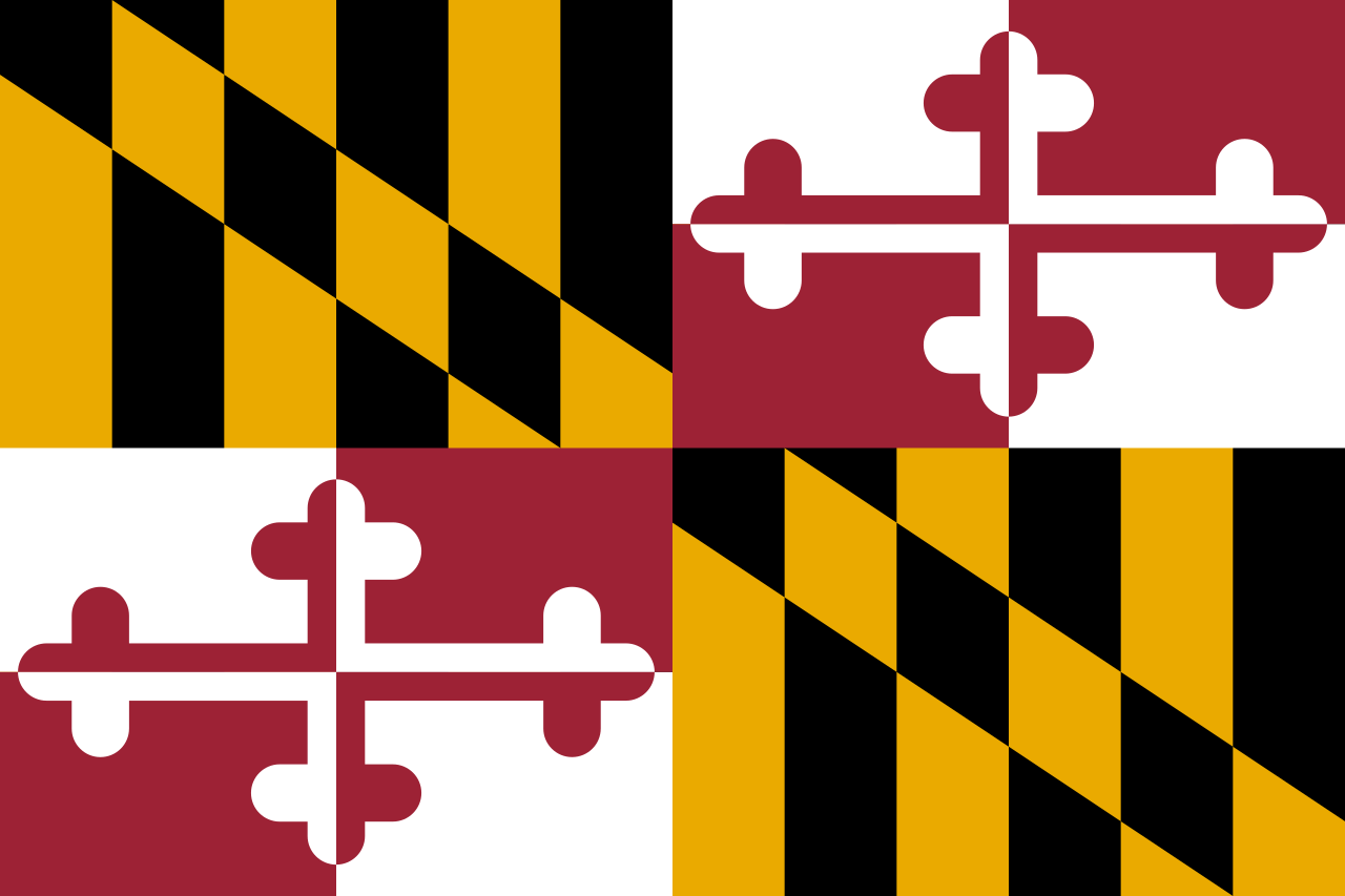
 Maryland-MD
 American Public Colleges & Universities
Nobel prize
American Public Colleges & Universities
Nobel prize
 Nobel Prize in Physics
Nobel prize
Nobel Prize in Chemistry
Nobel prize
Nobel Memorial Prize in Economic Sciences
Nobel prize
Nobel Prize in Literature
Nobel prize
University/Institute
Public Ivy
Nobel Prize in Physics
Nobel prize
Nobel Prize in Chemistry
Nobel prize
Nobel Memorial Prize in Economic Sciences
Nobel prize
Nobel Prize in Literature
Nobel prize
University/Institute
Public Ivy
 Universities in the USA

*Capitols in the United States
*United States Political System
 Architecture
Maryland-MD
United States
Architecture
Maryland-MD
United States


Maryland (englisch Aussprache [ˈmɛɹɪlənd]) ist ein Bundesstaat der Vereinigten Staaten an der Atlantikküste.
Seine Hauptstadt ist seit 1694 Annapolis (2016 ca. 40.000 Einwohner, U.S. Census Bureau). Mit über 610.000 Einwohnern ist Baltimore die größte Stadt. Maryland ist als Old Line State, Free State und Chesapeake Bay State bekannt. Maryland liegt in der Mitte der Ostküste. Im Südwesten grenzt es an Virginia und Washington, D.C., im Westen an West Virginia, im Norden an Pennsylvania und im Nordosten an Delaware. An der tief ins Land schneidenden Chesapeake Bay liegen wichtige Häfen, wie Baltimore und Annapolis, wo sich die Marineakademie der USA befindet. Die Bucht war lange Zeit einer der ertragreichsten Fischgründe der Welt, doch Überfischung und Wasserverschmutzung ließen die legendären Austernbänke fast vollkommen verschwinden. In dem relativ kleinen Staat liegen die Extreme nahe beieinander: hier die Metropole Baltimore, dort die abgelegenen Hügel der Appalachen und an der Küste beschauliche Fischerdörfer. Überhaupt hat der Staat eine eigentümliche Form: Bei Hancock liegt die schmalste Stelle des Staates. Die Grenzen zu Pennsylvania im Norden und West-Virginia im Süden liegen hier weniger als drei Kilometer auseinander – damit ist dies die engste Stelle eines Bundesstaates der USA. Mit einer Bevölkerungsdichte von 209 Einwohnern pro Quadratkilometer bezogen auf die Landfläche (vergleichbar mit Rheinland-Pfalz) gehört Maryland zu den am dichtesten besiedelten US-Bundesstaaten. Neben der Metropole Baltimore gehört auch etwa die Hälfte des umfangreichen Großraums von Washington, D.C. zu Maryland.
马里兰州(英语:State of Maryland),简称马州,是美国的一州,属于美国中大西洋地区,其西边与南边与西弗吉尼亚州、弗吉尼亚州、华盛顿哥伦比亚特区接壤,北方是宾夕法尼亚州,东邻为特拉华州。马里兰州是第七个通过美国宪法的州,有三个常见的昵称:老战线州(the Old Line State)、自由之州(the Free State)、切萨皮克湾州(the Chesapeake Bay State)。本州邮政缩写为MD。
马里兰州也被认为是美国宗教自由的诞生地。[3][4][5]这可追溯自英国殖民时代早期由乔治·卡尔弗特将本州建立为天主教徒的避难处。[4][5]
马里兰州是美国土地面积最小以及人口密度最高的州之一。本州最大的城市为巴尔的摩,首府为安纳波利斯。虽然官方宣称马里兰州得名自亨利埃塔·玛丽亚[6],许多历史学家认为本州名称是由第一代巴尔的摩男爵1632年去世前依照耶稣的母亲马利亚所命名。[7]不过实情可能难以得知。[8]
马里兰州的家户收入中位数为全美最高,就此而论,其为美国最富裕的州。[9]
メリーランド州(英: State of Maryland、[ˈmɛrələnd] (![]() 音声ファイル)[1]、略号: MD[2][3], Md.[2][3])は、アメリカ合衆国東部[3][4][5]の大西洋岸にあり、ワシントンD.C.に隣接して中部大西洋岸地域(Mid-Atlantic States)を構成する州の一つである。アメリカ合衆国50州の中で、陸地面積では第42位、人口では第19位である。人口密度が高い。南と西はバージニア州、ウェストバージニア州[5]、ワシントンD.C.に[3]、北はペンシルベニア州、東はデラウェア州と接している[5]。
音声ファイル)[1]、略号: MD[2][3], Md.[2][3])は、アメリカ合衆国東部[3][4][5]の大西洋岸にあり、ワシントンD.C.に隣接して中部大西洋岸地域(Mid-Atlantic States)を構成する州の一つである。アメリカ合衆国50州の中で、陸地面積では第42位、人口では第19位である。人口密度が高い。南と西はバージニア州、ウェストバージニア州[5]、ワシントンD.C.に[3]、北はペンシルベニア州、東はデラウェア州と接している[5]。
州名の由来は、当時、イングランド国内で禁じられていたカトリック信仰の擁護者的存在になったヘンリエッタ・マリア・オブ・フランス王妃(イングランド内戦・ピューリタン革命で処刑されることになるチャールズ1世の妃)の名前であり、イギリス植民地時代に彼女の栄誉を称えて名付けられた[6][7]。当時、勅許で与えられた名前は"Terra Mariae, anglice, Maryland"だった。ただし多くの歴史家は、ジョージ・カルバートが1632年に死ぬ前に、イエスの母マリアに因んで名付けたと考えている[8][9][10]。
州都はアナポリス市[3][4][5]、最大都市はボルティモア市である[3][4]。世帯当たり収入の中央値では50州の中で最も高い州である[11]。
Maryland (US: /ˈmɛrələnd/ (![]() listen) MERR-ə-lənd)[a] is a state in the Mid-Atlantic region of the Southeastern United States, bordering Virginia, West Virginia, and the District of Columbia to its south and west; Pennsylvania to its north; and Delaware and the Atlantic Ocean to its east. The state's largest city is Baltimore,[10] and its capital is Annapolis. Among its occasional nicknames are Old Line State, the Free State, and the Chesapeake Bay State. It is named after the English queen Henrietta Maria, known in England as Queen Mary, who was the wife of King Charles I.[11][12]
listen) MERR-ə-lənd)[a] is a state in the Mid-Atlantic region of the Southeastern United States, bordering Virginia, West Virginia, and the District of Columbia to its south and west; Pennsylvania to its north; and Delaware and the Atlantic Ocean to its east. The state's largest city is Baltimore,[10] and its capital is Annapolis. Among its occasional nicknames are Old Line State, the Free State, and the Chesapeake Bay State. It is named after the English queen Henrietta Maria, known in England as Queen Mary, who was the wife of King Charles I.[11][12]
Sixteen of Maryland's twenty-three counties, as well as the city of Baltimore, border the tidal waters of the Chesapeake Bay estuary and its many tributaries,[13][10] which combined total more than 4,000 miles of shoreline. Although one of the smallest states in the U.S., it features a variety of climates and topographical features that have earned it the moniker of America in Miniature.[14] In a similar vein, Maryland's geography, culture, and history combine elements of the Mid-Atlantic, Northeastern, and South Atlantic regions of the country.
Before its coastline was explored by Europeans in the 16th century, Maryland was inhabited by several groups of Native Americans, mostly by the Algonquin, and to a lesser degree by the Iroquois and Sioux.[15] As one of the original Thirteen Colonies of Great Britain, Maryland was founded by George Calvert, a Catholic convert[16][17] who sought to provide a religious haven for Catholics persecuted in England.[18] In 1632, Charles I of England granted Calvert a colonial charter, naming the colony after his wife, Queen Mary (Henrietta Maria of France).[19] Unlike the Pilgrims and Puritans, who rejected Catholicism in their settlements, Calvert envisioned a colony where people of different religious sects would coexist under the principle of toleration.[18] Accordingly, in 1649 the Maryland General Assembly passed an Act Concerning Religion, which enshrined this principle by penalizing anyone who "reproached" a fellow Marylander based on religious affiliation.[20] Nevertheless, religious strife was common in the early years, and Catholics remained a minority, albeit in greater numbers than in any other English colony.
Maryland's early settlements and population centers clustered around rivers and other waterways that empty into the Chesapeake Bay. Its economy was heavily plantation-based, centered mostly on the cultivation of tobacco. The need for cheap labor led to a rapid expansion of indentured servants, penal labor, and African slaves. In 1760, Maryland's current boundaries took form following the settlement of a long-running border dispute with Pennsylvania. Maryland was an active participant in the events leading up to the American Revolution, and by 1776 its delegates signed the Declaration of Independence. Many of its citizens subsequently played key political and military roles in the war. In 1790, the state ceded land for the establishment of the U.S. capital of Washington, D.C.
Although then a slave state, Maryland remained in the Union during the American Civil War, its strategic location giving it a significant role in the conflict. After the war, Maryland took part in the Industrial Revolution, driven by its seaports, railroad networks, and mass immigration from Europe. Since the Second World War, the state's population has grown rapidly, to approximately six million residents, and it is among the most densely populated U.S. states. As of 2015, Maryland had the highest median household income of any state, owing in large part to its close proximity to Washington, D.C. and a highly diversified economy spanning manufacturing, services, higher education, and biotechnology.[21] The state's central role in U.S. history is reflected by its hosting of some of the highest numbers of historic landmarks per capita.
Le Maryland /ma.ʁi.lɑ̃d/2 (prononcé /ˈmɛɹ.ə.lənd/3) est un État du Nord-Est des États-Unis. Sa capitale est Annapolis, et sa plus grande ville est Baltimore. Avec une superficie de 32 160 km2 uniquement et une population de 5 773 552 habitants, il est l'un des plus petits États du pays mais aussi l'un des plus densément peuplés.
La Province du Maryland est fondée en 1632 sous l'action de Cecilius Calvert, baron de Baltimore. Nommé en l'honneur d'Henriette-Marie de France, épouse du roi d'Angleterre Charles Ier Stuart, le territoire accueille les catholiques persécutés en Angleterre. La culture du tabac assure sa prospérité au cours du XVIIe siècle.
L'économie de l'État repose sur l'agriculture de la région du Piedmont, les biotechnologies, l'activité du port de Baltimore, et surtout sur la présence de plusieurs bases de l'armée américaine (Fort George G. Meade, Aberdeen Proving Ground). Le Maryland est l'État au revenu par habitant le plus important du pays, mais Baltimore connaît d'importants problèmes sociaux. En outre, bien que sa figure politique principale soit le républicain Spiro Agnew, vice-président de Richard Nixon, l'État est de tradition démocrate depuis les années 1960. Lieu de tolérance, il est réputé pour avoir vu naître la liberté de religion aux États-Unis.Il Maryland (in inglese , /ˈmɛrɨlənd/) è uno Stato federato degli Stati Uniti d'America, che si trova sull'oceano Atlantico. È uno degli Stati della costa orientale, e generalmente è considerato parte della regione atlantica centrale (Middle Atlantic) ma presenta caratteri che lo possono associare sia alla regione sud-orientale (Southeast) che a quella nord-orientale (Northeast). La sua sigla postale è MD, quella dell'Associated Press Md.
Nel suo stemma compare il motto scritto in italiano arcaico: fatti maschii, parole femine.[2]
Il Maryland fu una delle prime tra le tredici colonie che si ribellarono al governo del Regno Unito, dando inizio all'indipendenza delle colonie dell'America del Nord, guadagnandosi così il soprannome di Old Line State, lo Stato della vecchia prima linea.[3]
Maryland es uno de los cincuenta estados que, junto con Washington D. C., forman los Estados Unidos de América. Su capital es Annapolis y su ciudad más poblada, Baltimore.
Está en la región Noreste del país, división Atlántico Medio. Limita al norte con Pensilvania, al este con Delaware y al sur con el río Potomac que lo separa de Virginia, Washington D. C. y Virginia Occidental. Con 32 133 km² es el noveno estado menos extenso —por delante de Hawái, Massachusetts, Vermont, Nuevo Hampshire, Nueva Jersey, Connecticut, Delaware y Rhode Island, el menos extenso—. Con 180 hab/km² es el quinto más densamente poblado — por detrás de Nueva Jersey, Rhode Island, Connecticut y Massachusetts—. Fue admitido en la Unión el 28 de abril de 1788, como el estado número siete.
Recibió su nombre en homenaje a la reina Enriqueta María de Francia, esposa del rey Carlos I de Inglaterra (Maryland en inglés significa "Tierra de María"). Fue una de las Trece Colonias que se rebelaron contra el dominio británico en la región.
El apodo del estado es Old Line State, en homenaje a sus "tropas de línea" (troops of the line), que fueron varias veces elogiadas por George Washington por su excelente actuación en la Guerra de Independencia de los Estados Unidos.
El actual himno de Estados Unidos, The Star-Spangled Banner, fue escrito por Francis Scott Key, un abogado y poeta aficionado que se inspiró al ver a las tropas estadounidenses defendiendo con éxito un ataque de tropas navales del Reino Unido (en la época, la mayor potencia militar del mundo) contra Baltimore, en la Guerra anglo-estadounidense de 1812.
Мэ́риленд[1][2] (англ. Maryland, МФА: [ˈmɛɹɨlənd] или [ˈmɛrələnd]) — небольшой по территории штат[3] на востоке США, один из так называемых Среднеатлантических штатов и один из 13 штатов, совершивших Американскую революцию. Население — 5 828 289 человек (19-е место среди штатов; данные 2001 года). Столица — Аннаполис, крупнейший город — Балтимор.
Официальные прозвища:
- «Штат старой границы» (англ. Old Line State)
- «Штат-кокарда» (англ. Cockade State)
- «Свободный штат» (англ. Free State). Такое название штату дала одна из балтиморских газет в 1920-х годах во время действия 18-й поправки к Конституции США, вводившей «сухой закон» на территории страны. Тогда штат Мэриленд первым заявил о том, что не хочет подчиняться запрету на продажу и производство алкоголя[4].
 Alabama-AL
 Alaska-AK
 Arizona-AZ
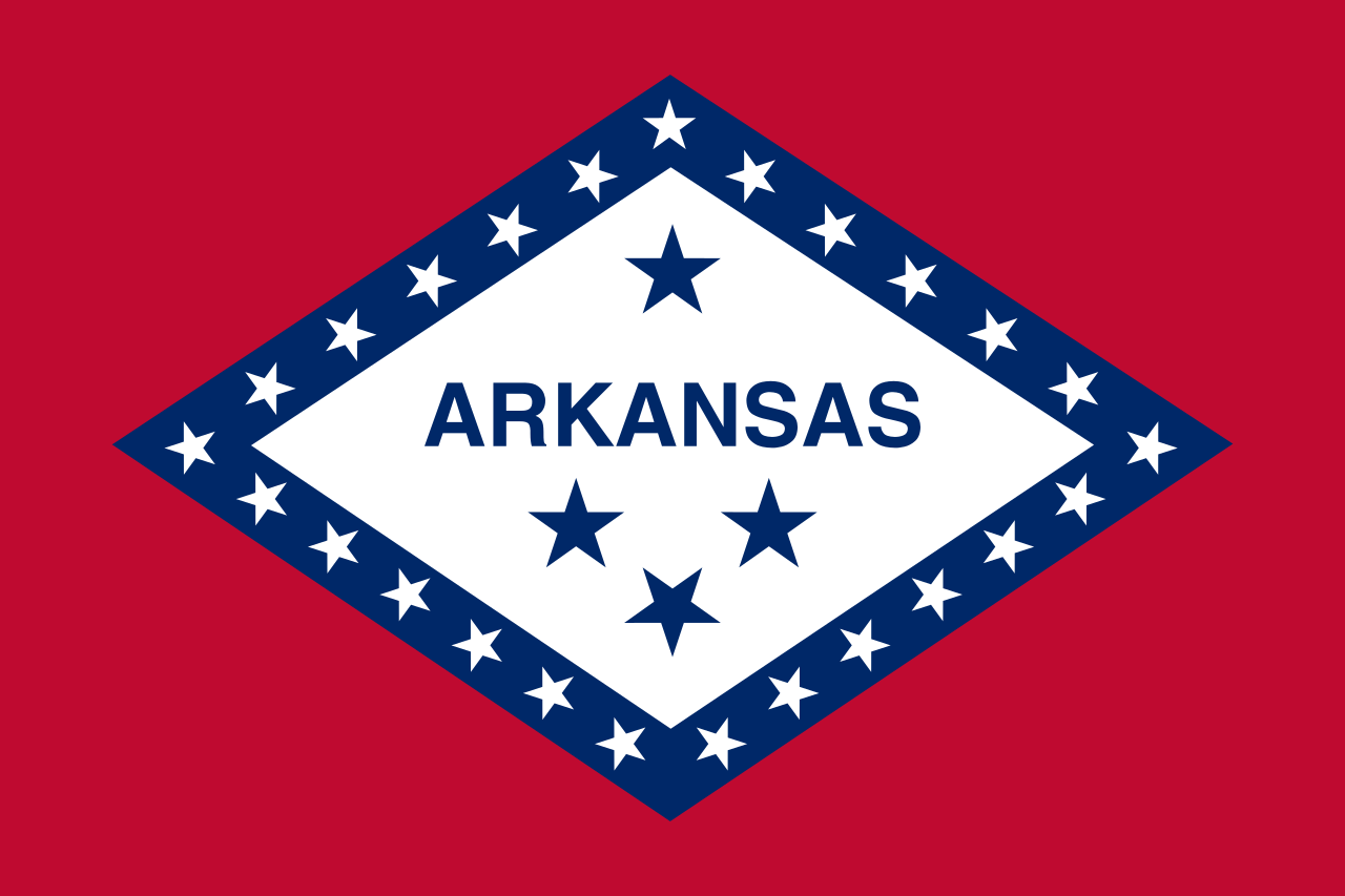 Arkansas-AR
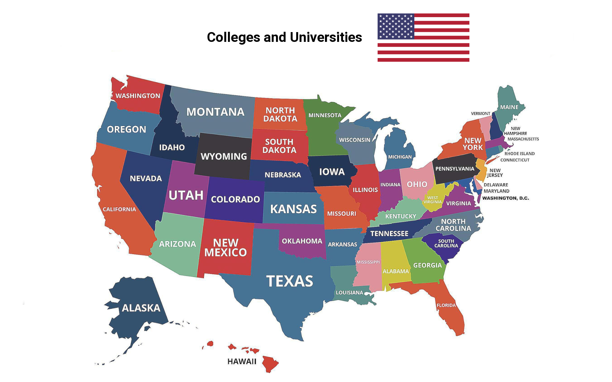
 Education and Research
Universities and colleges in the United States of America
Education and Research
Universities and colleges in the United States of America
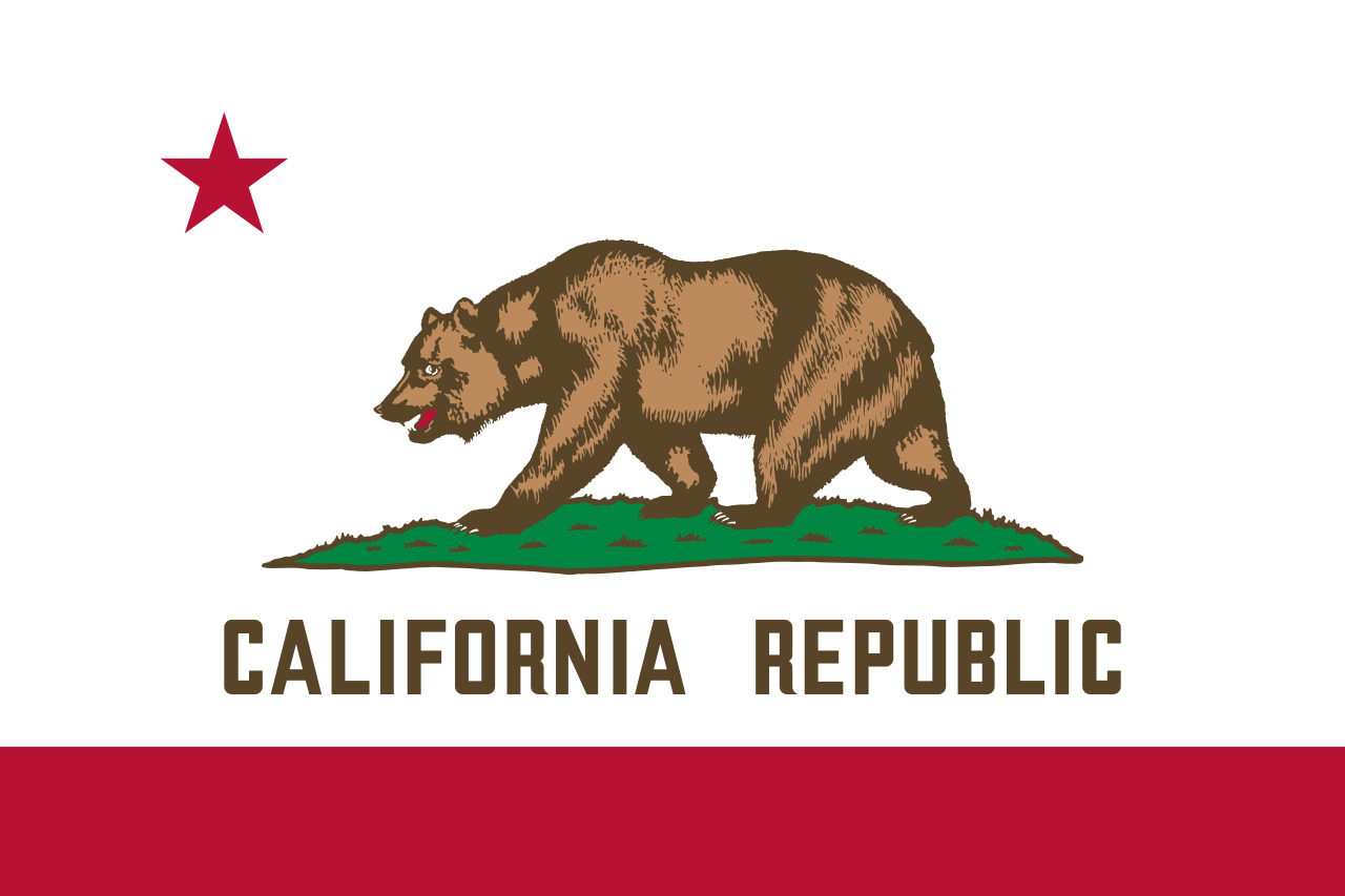 California-CA
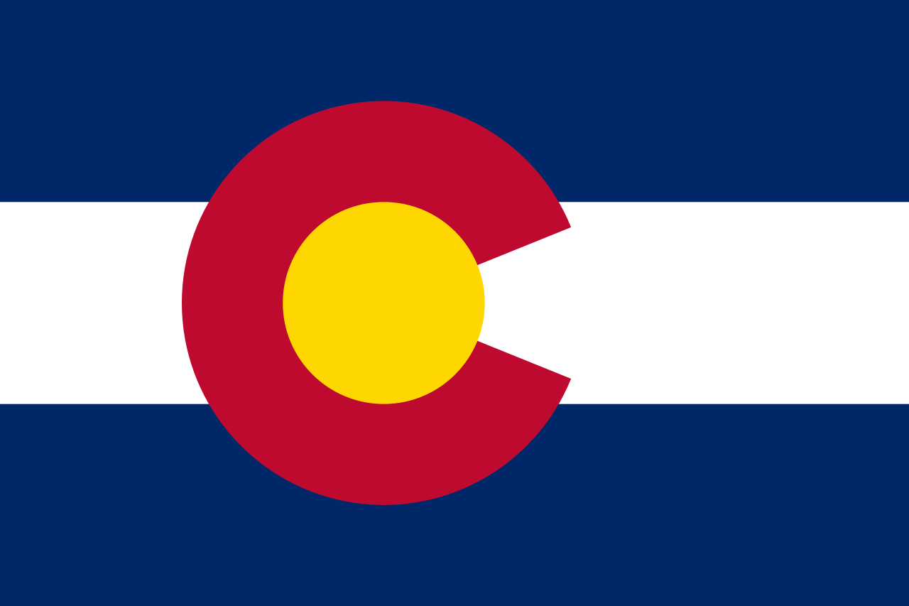 Colorado-CO
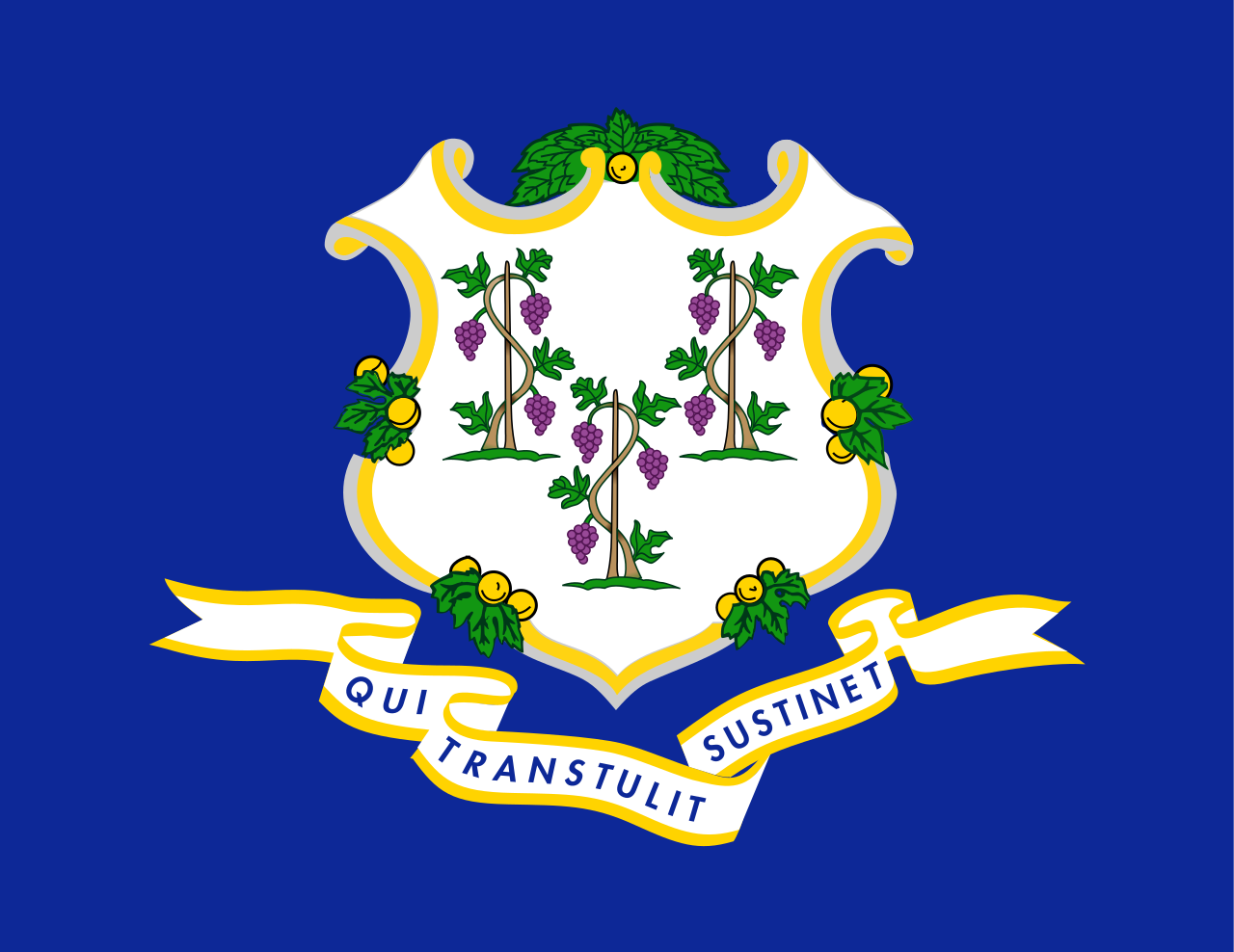 Connecticut-CT
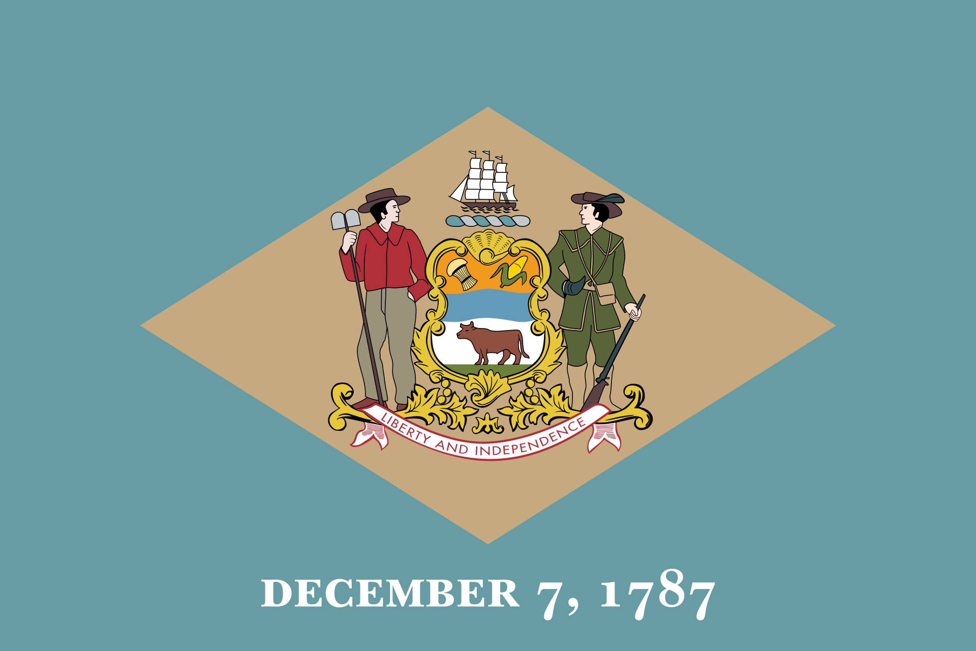 Delaware-DE
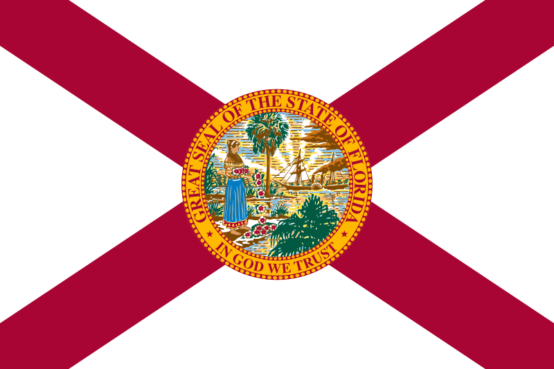 Florida-FL
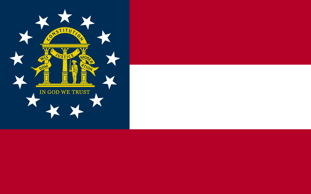 Georgia-GA
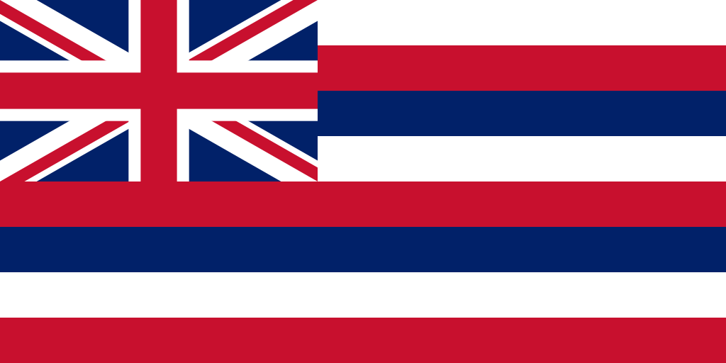 Hawaii-HI
 Idaho-ID
 Illinois-IL
 Indiana-IN
 Iowa-IA
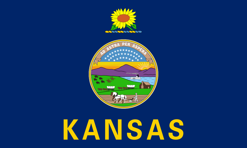 Kansas-KS
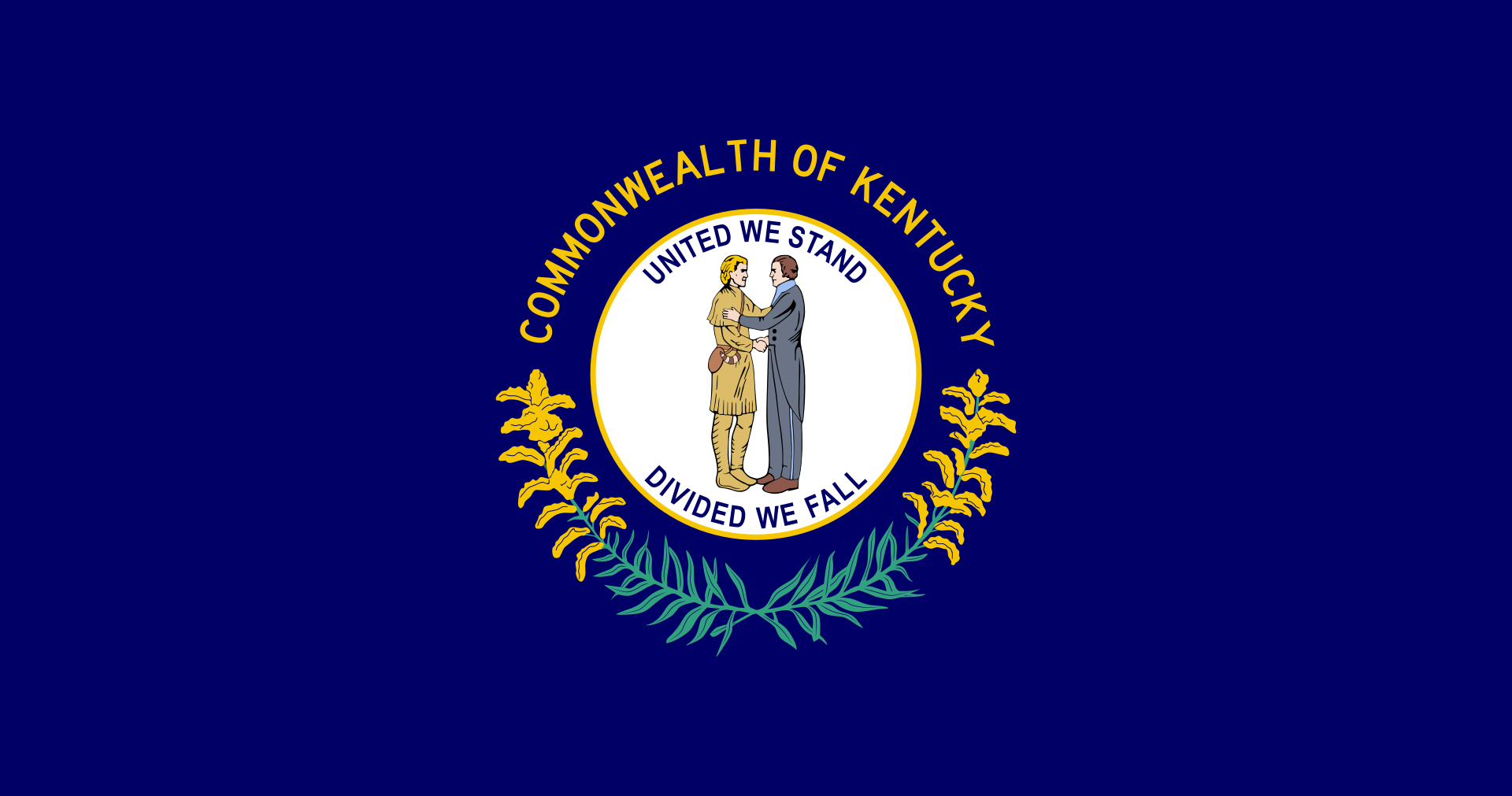 Kentucky-KY
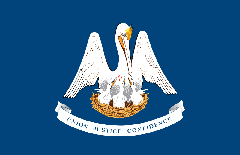 Louisiana-LA
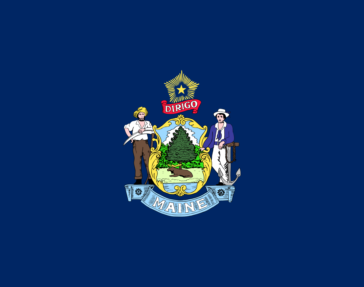 Maine-ME
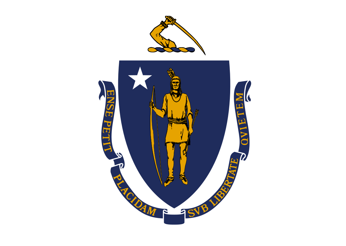
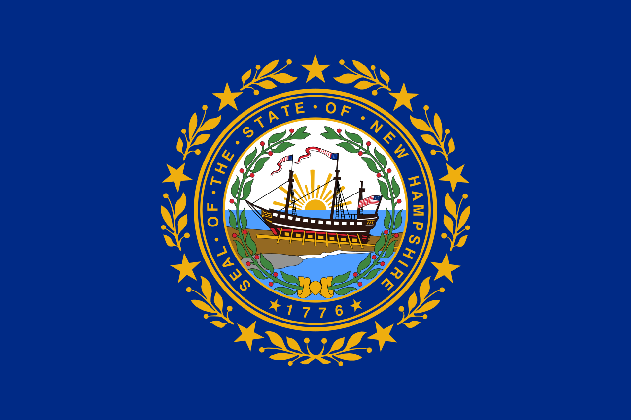
Maryland-MD
Maine-ME
Maryland-MD
 Massachusetts-MA
 Michigan-MI
 Minnesota-MN
 Mississippi-MS
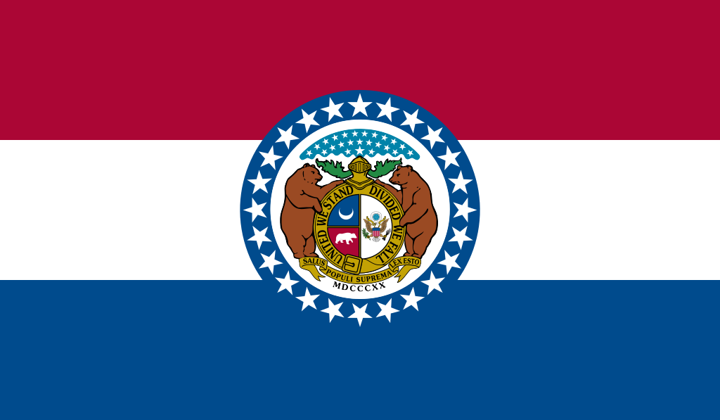 Missouri-MO
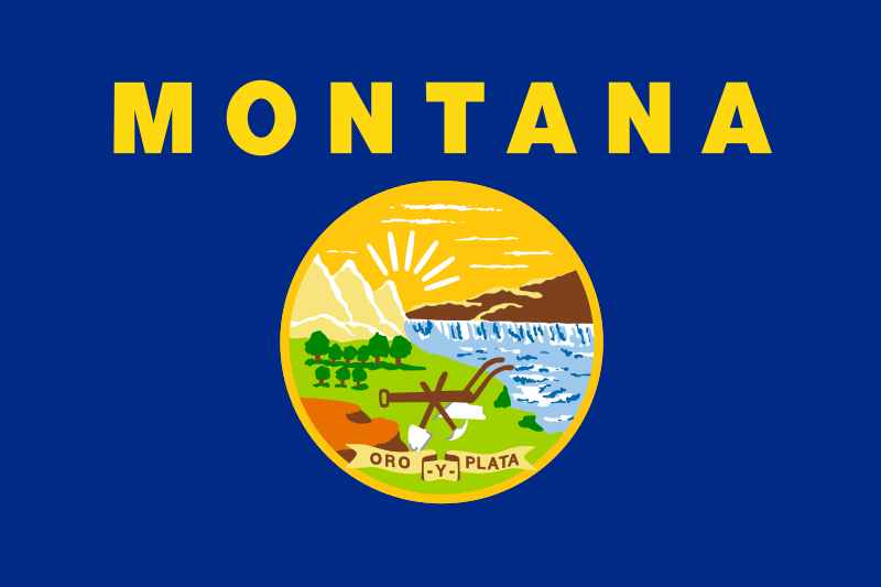 Montana-MT
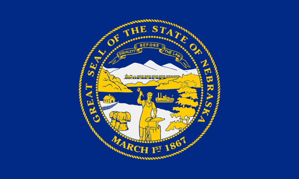 Nebraska-NE
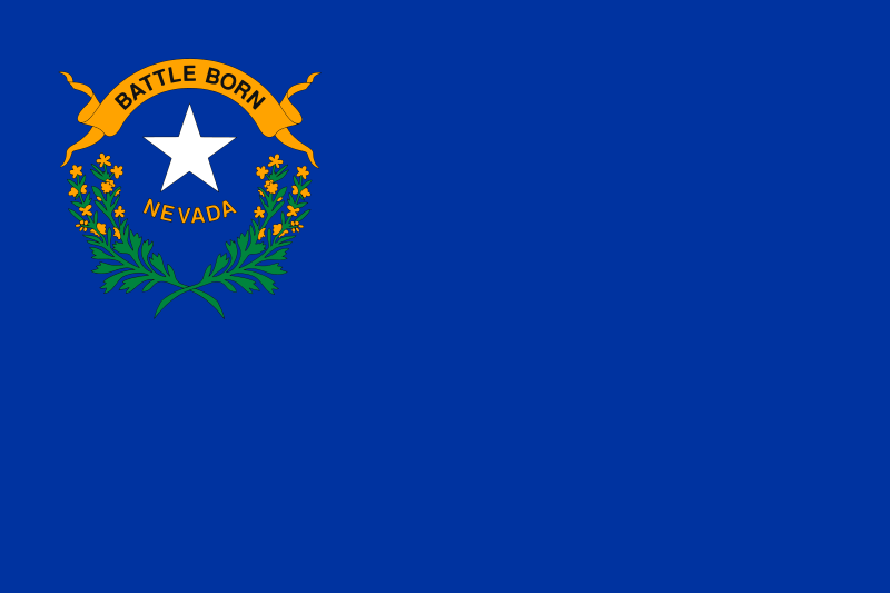 Nevada-NV
 New hampshire-NH
 New jersey-NJ
 New mexico-NM
 New York-NY
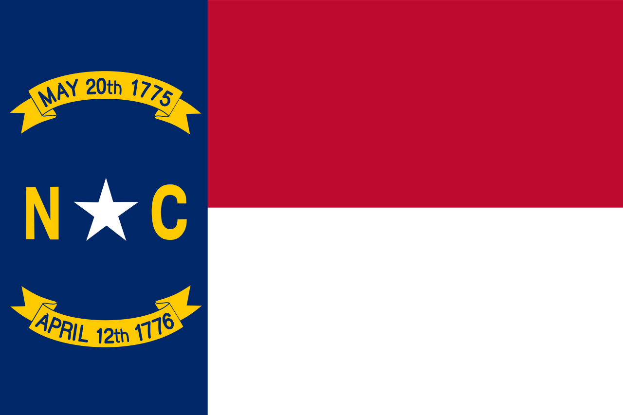 North Carolina-NC
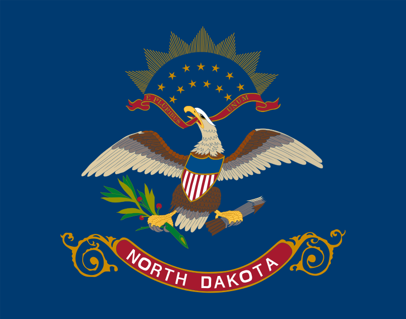 North Dakota-ND
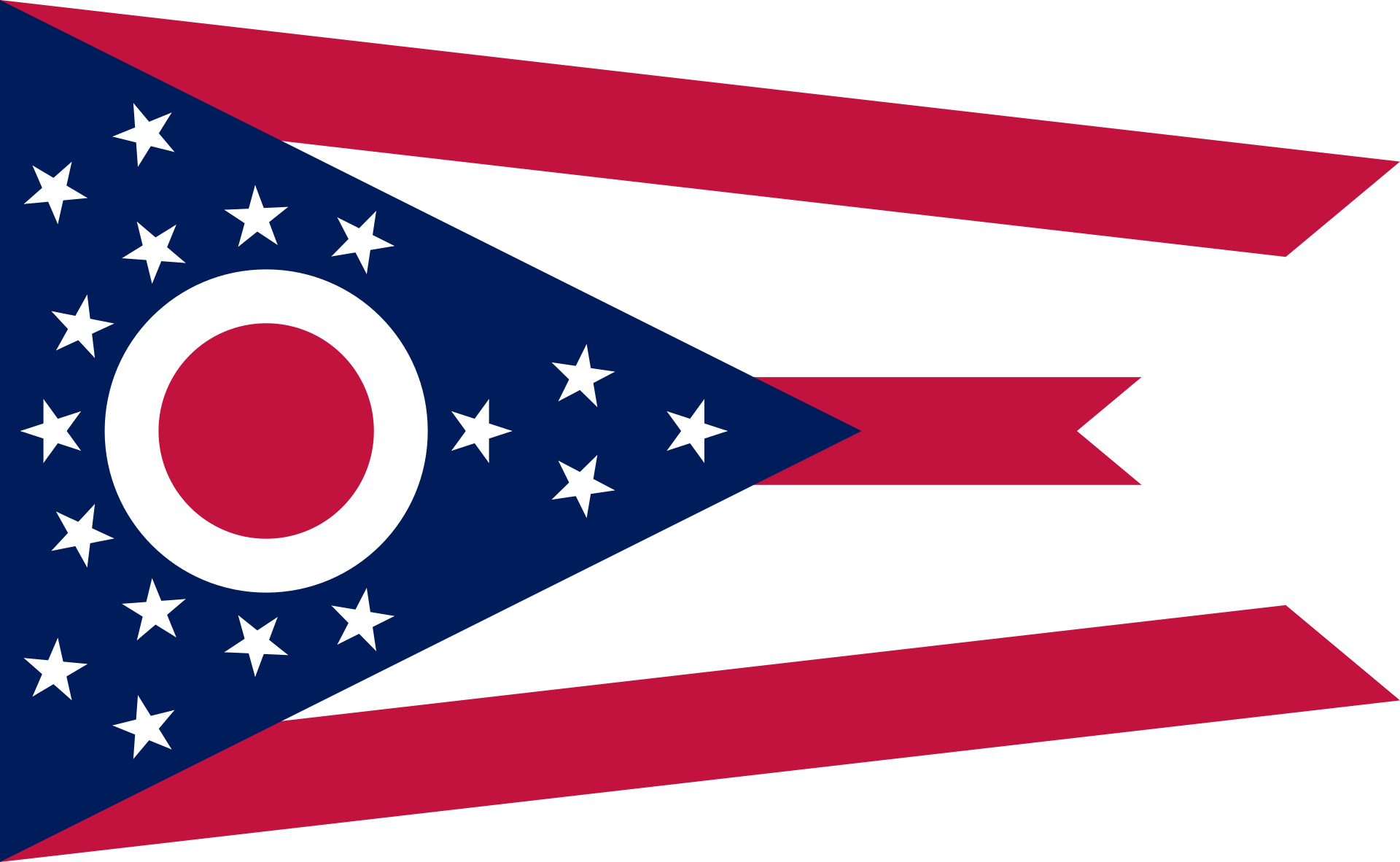 Ohio-OH
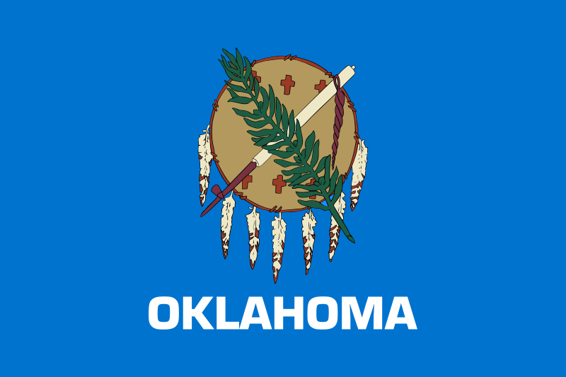 Oklahoma-OK
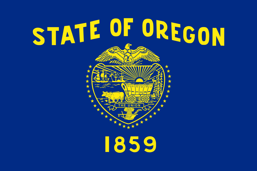 Oregon-OR
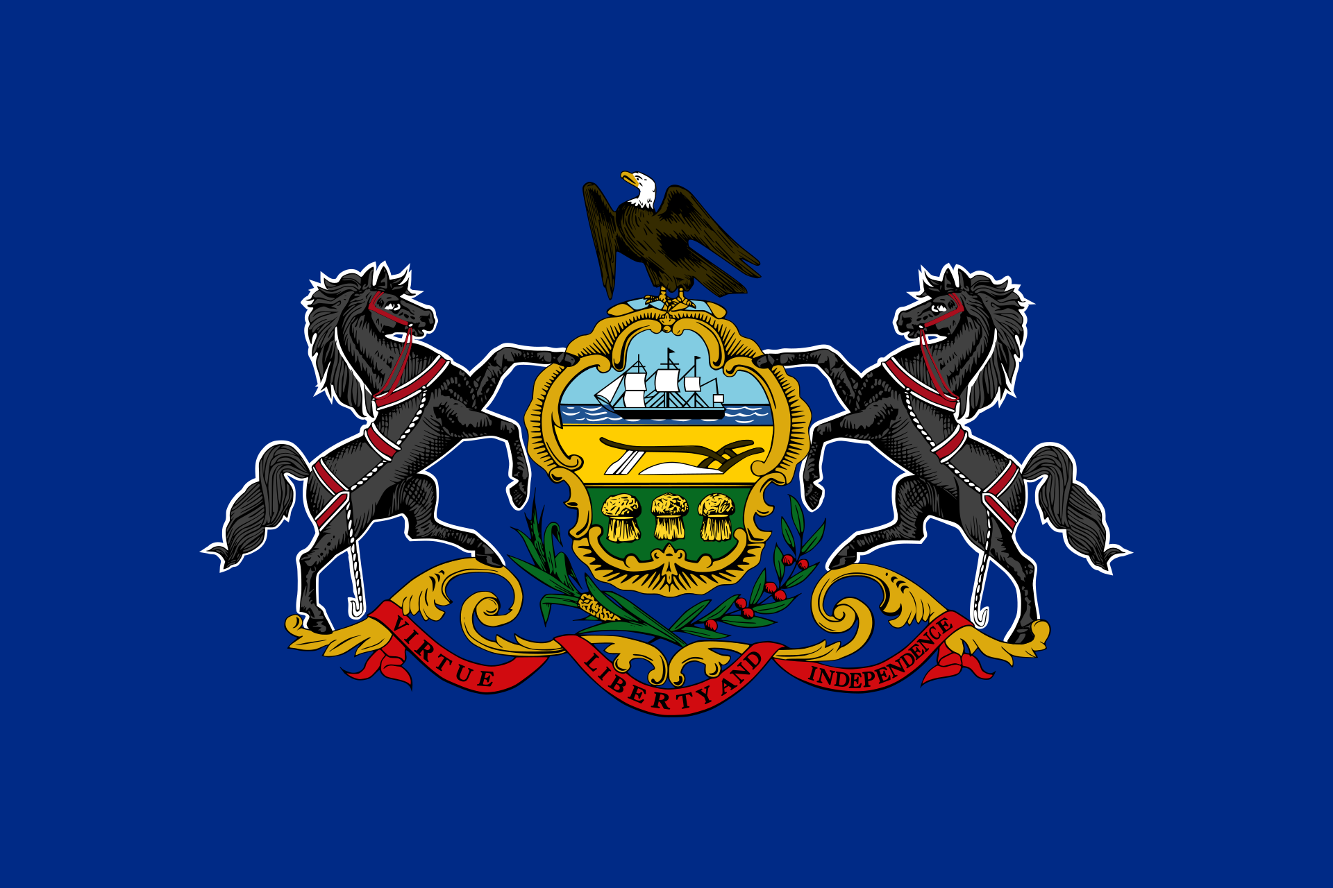 Pennsylvania-PA
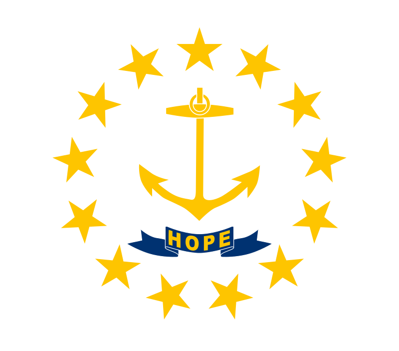 Rhode Island-RI
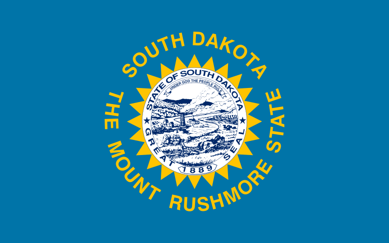 South Dakota-SD
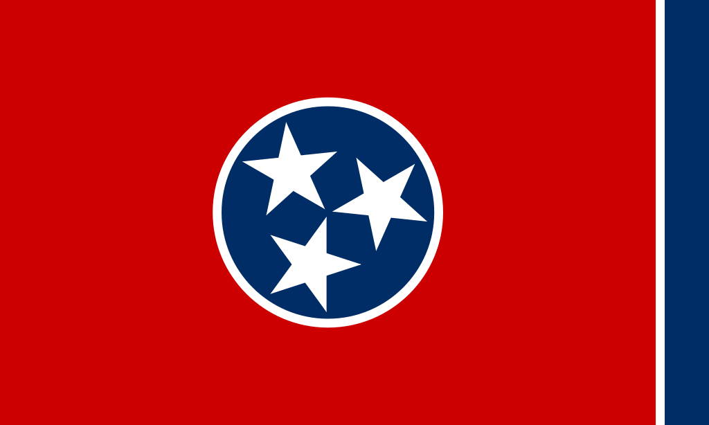 Tennessee-TN
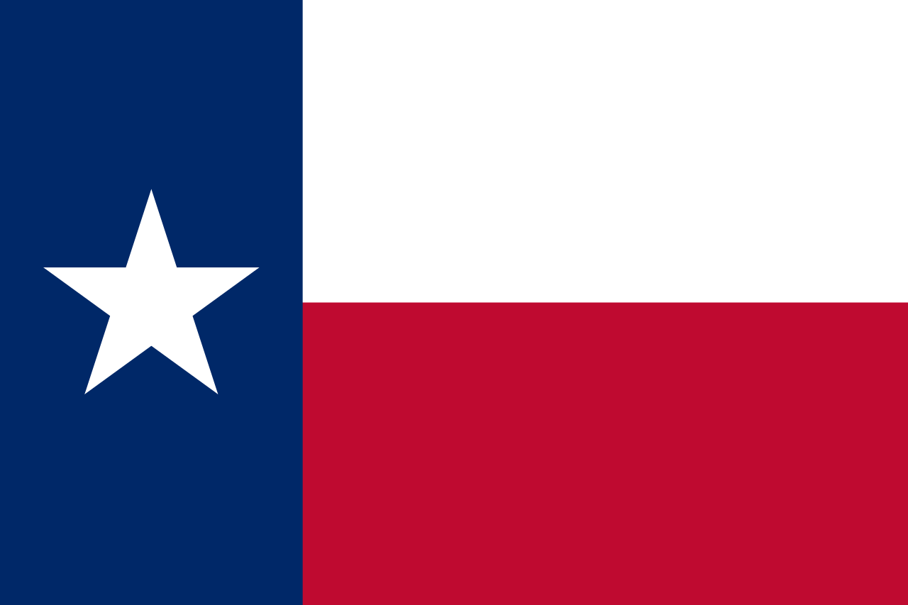 Texas-TX
Universities in the USA
Texas-TX
Universities in the USA
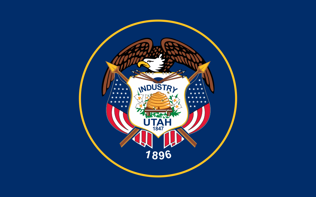 Utah-UT
United States
Utah-UT
United States
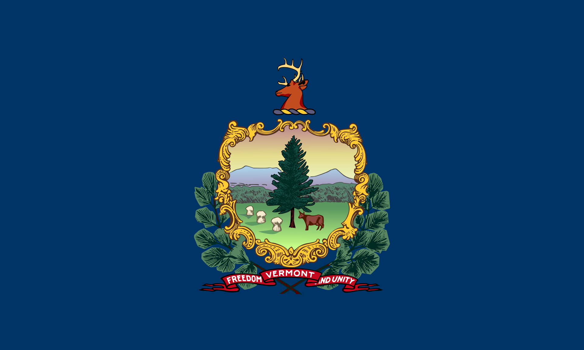 Vermont-VT
 Virginia-VA
 Washington-WA
 Washington, D.C.
 West Virginia-WV
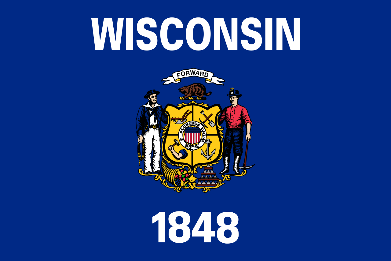 Wisconsin-WI
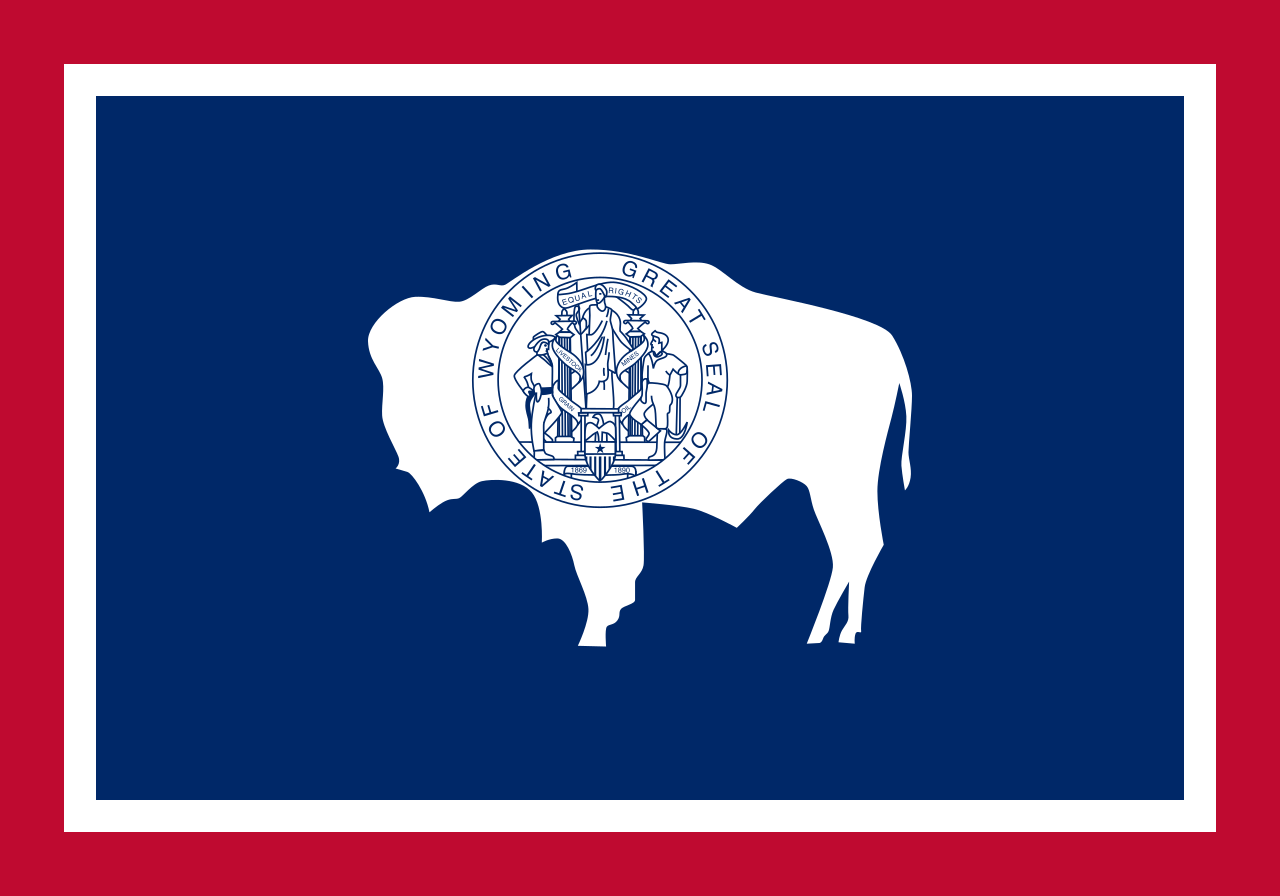 Wyoming-WY
 Ski vacation
Alabama-AL
Alaska-AK
Arizona-AZ
California-CA
Colorado-CO
Connecticut-CT
Idaho-ID
Illinois-IL
Indiana-IN
Iowa-IA
Maine-ME
Maryland-MD
Massachusetts-MA
Michigan-MI
Minnesota-MN
Missouri-MO
Montana-MT
Nevada-NV
New hampshire-NH
New jersey-NJ
New mexico-NM
New York-NY
North Carolina-NC
North Dakota-ND
Ohio-OH
Oregon-OR
Pennsylvania-PA
Rhode Island-RI
South Dakota-SD
Ski vacation
Alabama-AL
Alaska-AK
Arizona-AZ
California-CA
Colorado-CO
Connecticut-CT
Idaho-ID
Illinois-IL
Indiana-IN
Iowa-IA
Maine-ME
Maryland-MD
Massachusetts-MA
Michigan-MI
Minnesota-MN
Missouri-MO
Montana-MT
Nevada-NV
New hampshire-NH
New jersey-NJ
New mexico-NM
New York-NY
North Carolina-NC
North Dakota-ND
Ohio-OH
Oregon-OR
Pennsylvania-PA
Rhode Island-RI
South Dakota-SD
 Sport
Tennessee-TN
Texas-TX
Utah-UT
United States
Vermont-VT
Virginia-VA
Washington-WA
West Virginia-WV
Wisconsin-WI
Wyoming-WY
Sport
Tennessee-TN
Texas-TX
Utah-UT
United States
Vermont-VT
Virginia-VA
Washington-WA
West Virginia-WV
Wisconsin-WI
Wyoming-WY
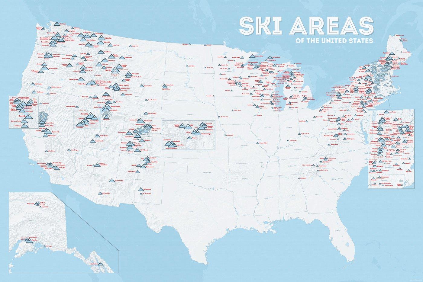
In vielen der 50 Bundesstaaten der USA gibt es Wintersportgebiete, von Maine bis nach Kalifornien. Vor allem drei große Gebirgszüge machen das Skifahren in den Vereinigten Staaten möglich: Zum einen sind dies die Rocky Mountains, die die sogenannten Mountain States durchqueren (Colorado, Nevada, Montana, Wyoming, Idaho und Utah). Die Cascades Range zieht sich von Kanada über Oregon bis hinunter nach Kalifornien. Im Osten der USA befinden sich zudem die Appalachen.
| Name | Orte im Gebiet | Staat | Seehöhe in m |
Liftanlagen1 | Pisten in km |
Weblink | |
| von | bis | ||||||
| Alta Snowbird | Snowbird | Utah | 2365 | 3350 | 1/18/0 | 150 | www.snowbird.com |
| Arapaho Basin | Colorado | 3292 | 3978 | 0/4/0 | 34 | www.arapahoebasin.com | |
| Aspen Highlands | Aspen | Colorado | 2460 | 3536 | 0/5/0 | 58 | www.aspensnowmass.com |
| Aspen Mountain | Aspen | Colorado | 2422 | 3417 | 1/7/0 | 50 | www.aspensnowmass.com |
| Aspen Butermilk | Aspen | Colorado | 2398 | 3013 | 0/5/1 | 34 | www.aspensnowmass.com |
| Aspen Snowmass | Aspen | Colorado | 2473 | 3813 | 2/13/5 | 137 | www.aspensnowmass.com |
| Beaver Creek Resort | Vail/Beaver Creek | Colorado | 2268 | 3478 | 0/15/8 | 152 | www.beavercreek.com |
| Big Sky Resort | Big Sky Village | Montana | 2072 | 3403 | 2/18/2 | 186 | www.bigskyresort.com |
| Breckenridge | Breckenridge | Colorado | 2926 | 3962 | 1/25/25 | 146 | www.snow.com |
| Deer Valley | Deer Valley | Utah | 2003 | 2918 | 1/20/0 | 105 | www.deervalley.com |
| Grand Targhee | Wyoming | 2438 | 3048 | 0/4/0 | 40 | www.grandtarghee.com | |
| Heavenly | Nevada | 1914 | 3039 | 2/17/6 | 89 | www.heavenly.com | |
| Jackson Hole Mountain | Teton Village | Wyoming | 1924 | 3185 | 3/9/0 | 150 | www.jacksonhole.com |
| Keystone | Keystone | Colorado | 2829 | 3782 | 2/16/16 | 116 | www.snow.com |
| Klamath Falls | Oregon | n/a | n/a | n/a | n/a | www.oregon.com | |
| Mammoth Mountain | Kalifornien | 2456 | 3362 | 3/23/4 | 112 | www.mammothmountain.com | |
| Park City Mountain | Park City | Utah | 2103 | 3039 | 0/15/0 | 87 | www.parkcitymountain.com |
| Squaw Valley | Squaw Valley | Kalifornien | 1886 | 2664 | 3/26/3 | 88 | www.squaw.com |
| Steamboat | Steamboat Springs | Colorado | 2097 | 3207 | 1/18/0 | 110 | www.steamboat.com |
| Telluride Skiresort | Telluride | Colorado | 2661 | 3735 | 3/11/0 | 98 | www.tellurideskiresort.com |
| The Canyons | Utah | 2061 | 3038 | 2/12/2 | 106 | www.thecanyons.com | |
| Vail | Vail | Colorado | 2450 | 3527 | 1/23/9 | 215 | www.vail.com |
 Transport and traffic
Connecticut-CT
Florida-FL
Transport and traffic
Connecticut-CT
Florida-FL
 Geography
Georgia-GA
Maine-ME
Maryland-MD
Massachusetts-MA
New hampshire-NH
New jersey-NJ
New York-NY
North Carolina-NC
Pennsylvania-PA
Rhode Island-RI
Geography
Georgia-GA
Maine-ME
Maryland-MD
Massachusetts-MA
New hampshire-NH
New jersey-NJ
New York-NY
North Carolina-NC
Pennsylvania-PA
Rhode Island-RI
 South Carolina-SC
United States
Virginia-VA
South Carolina-SC
United States
Virginia-VA
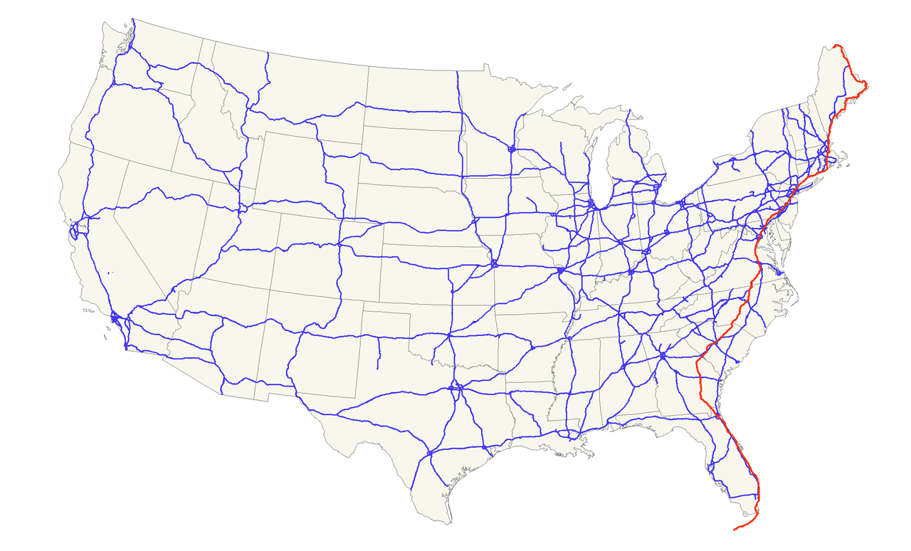
Der U.S. Highway 1 (auch U.S. Route 1 oder US 1) ist ein Highway, der parallel zur US-amerikanischen Ostküste verläuft. Die Gesamtlänge beträgt 3846 Kilometer. Im Norden endet der Highway in Fort Kent in Maine an der kanadischen Grenze. Im Süden ist es Key West an Floridas Küste zum Golf von Mexiko. Die US Route 1 verläuft an vielen Orten parallel zur Interstate 95. Festgelegt wurde sie 1926 zunächst nur zwischen der kanadischen Grenze und dem U.S. Highway 94 in Miami.
Die wichtigsten Städte, die der Highway passiert, sind Miami, Columbia, Richmond, Washington, D.C., Baltimore, Philadelphia, New York City, Boston und Portland.
Der Highway trägt die Nummer eins, weil er der am östlichsten gelegene ist und Nord-Süd-Highways von Ost nach West nummeriert werden.
Alabama-AL
Georgia-GA
Louisiana-LA
Maryland-MD
Mississippi-MS
New York-NY
Pennsylvania-PA
Tennessee-TN
Virginia-VA
West Virginia-WV
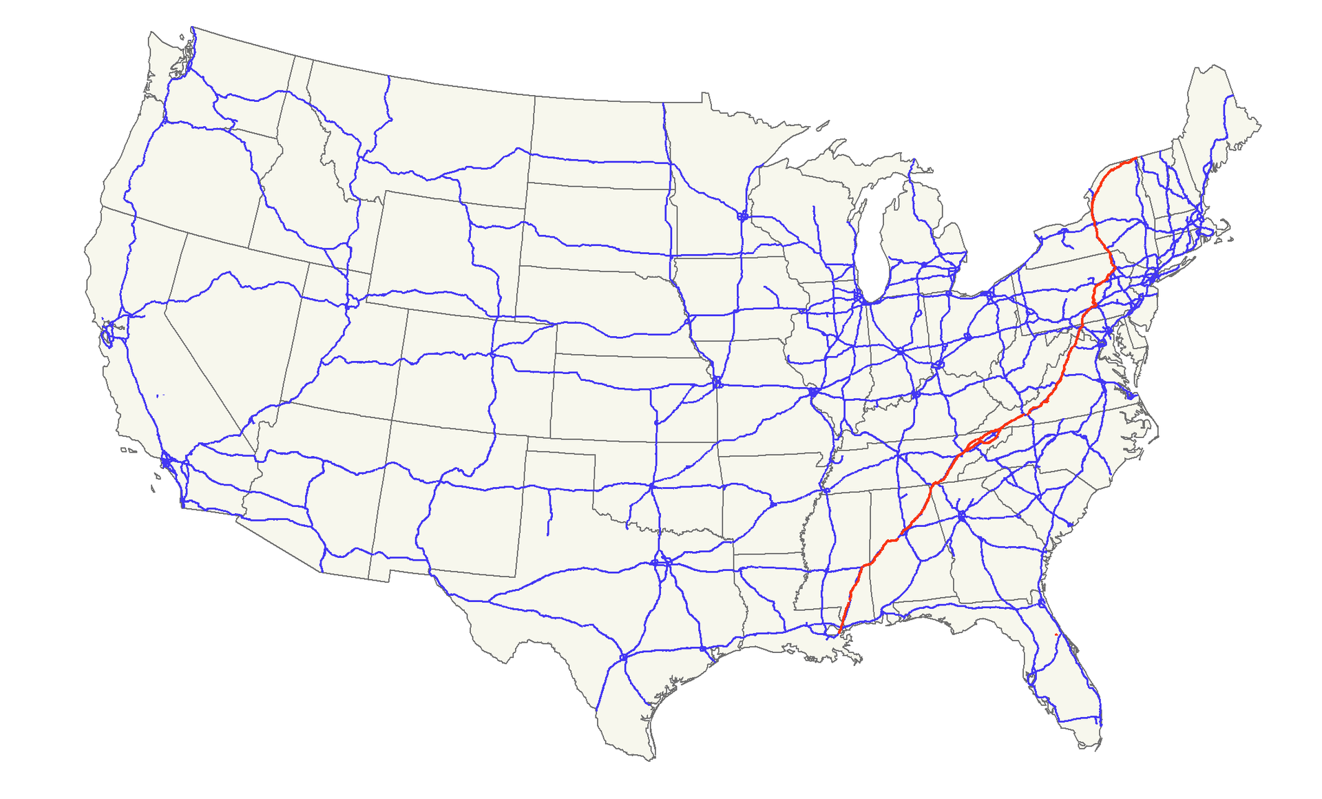
Der U.S. Highway 11 (kurz US 11) ist ein United States Highway in den Vereinigten Staaten. Der Highway beginnt in Louisiana am U.S. Highway 90 in der Nähe der Stadt New Orleans und endet an der kanadischen Grenze bei Rouses Point im Bundesstaat New York. In Kanada trägt die weiterführende Straße die Bezeichnung Quebec Route 223.
Bis zum Jahr 1929 endete der US 11 südlich von Picayune am Pearl River, der die Grenze zwischen Louisiana und Mississippi bildet.
Zwischen den Städten Knoxville in Tennessee und Bristol in Virginia ist der Highway ähnlich wie die Interstate 35 in die zwei getrennten Straßen U.S. Highway 11W und 11E geteilt.
美国国道11跨越美国 南北方。全长1645英哩(2647公里) 。
Colorado-CO
Delaware-DE
Illinois-IL
Indiana-IN
Kansas-KS
Maryland-MD
Missouri-MO
New jersey-NJ
Ohio-OH
Pennsylvania-PA
Utah-UT
West Virginia-WV
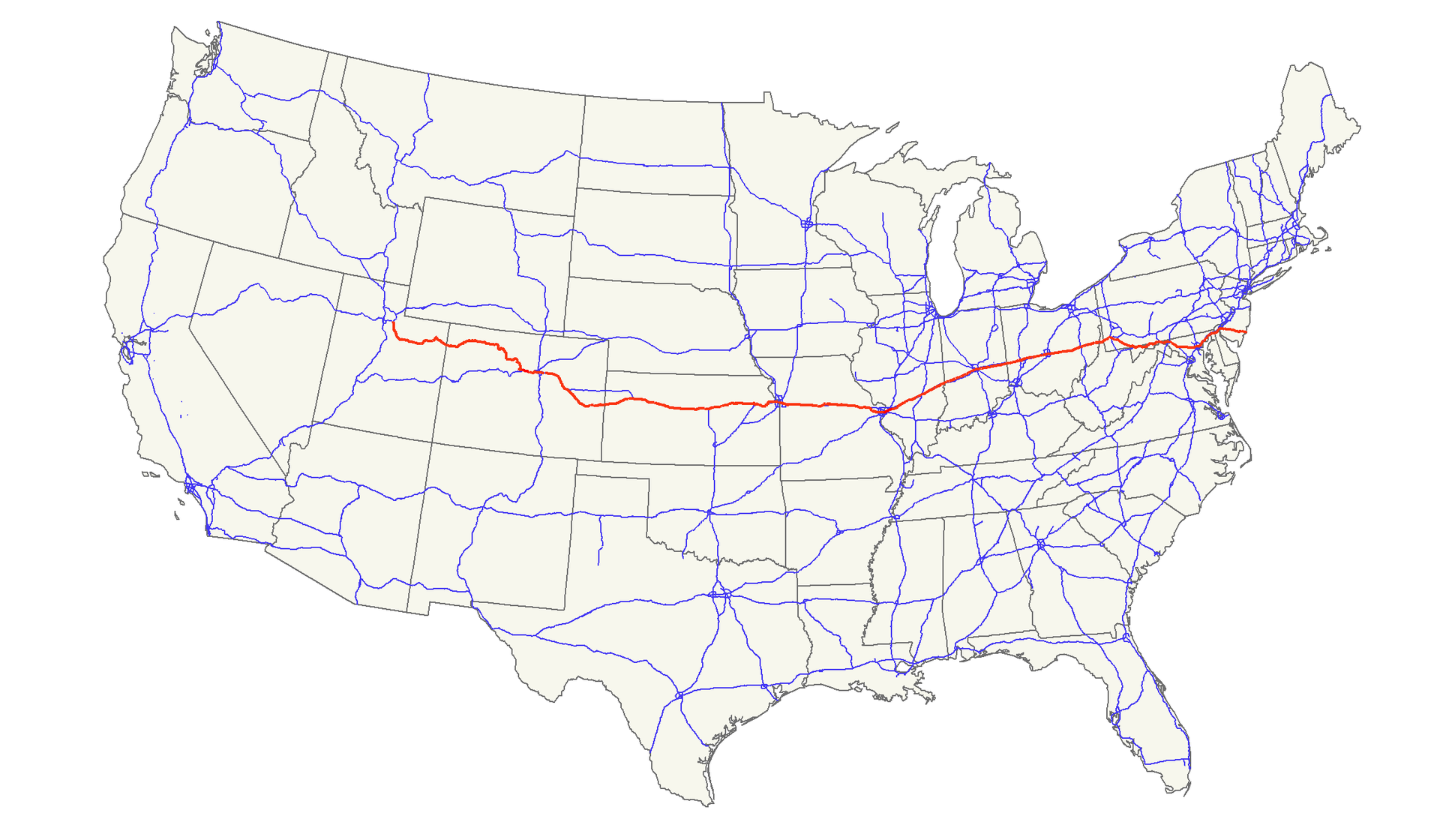
Der U.S. Highway 40 ist eine Ost-West-Verbindung in den USA. Wie die meisten Highways, deren Nummerierung mit einer Null endet, war der Highway 40 einst eine Verbindung von Küste zu Küste. In den 1920er Jahren lag der westliche Endpunkt ursprünglich in San Francisco und der östliche in Atlantic City. Der westliche Endpunkt ist mehrfach verlegt worden und befindet sich heute an der Einmündung in den Interstate Highway 80 in der Nähe von Park City unweit von Salt Lake City im Bundesstaat Utah.
Beginnend an seinem westlichen Endpunkt zieht sich der Highway 40 durch zwölf Bundesstaaten: Utah, Colorado, Kansas, Missouri, Illinois, Indiana, Ohio, West Virginia, Pennsylvania, Maryland, Delaware und New Jersey. Auf dem überwiegenden Teil seiner Strecke verlaufen heute Interstate Highways parallel zum Highway 40.
Der Highway 40 wurde auf der Trasse älterer Landstraßen errichtet, deren bekannteste die National Road und der Victory Highway sind. Die National Road wurde im Jahre 1806 nach einem Kongressbeschluss gebaut und war das erste landesweite Straßenbauprojekt. Die Straße führte nach ihrer Fertigstellung von Cumberland in Maryland nach Vandalia in Illinois. Der Victory Highway wurde zu Ehren der Kriegsveteranen des Ersten Weltkrieges benannt und führte von Kansas City, Missouri, nach San Francisco.
Daneben wurden auch andere bedeutende Fernstraßen Teil des heutigen Highway 40 wie Zane's Trace in Ohio, Braddock Road in Maryland und Pennsylvania, ein Teil des Oregon Trail sowie der Lincoln Highway (die erste Verbindung von Küste zu Küste) in Kalifornien.
40号美国国道(英语:U.S. Route 40)是一条东西方向的美国国道。该公路连接了新泽西州大西洋城和犹他州萨米特县,全长2,285.74英里。
于西马里兰地区,40号美国国道在格兰茨维尔(Grantsville)附近,由宾夕法尼亚州进入马里兰州。在马里兰州内的大部分路段也被称为国家大路( National Pike)。40号美国国道的目前主干线进入马里兰州西北端后不久就与68号州际公路与219号美国国道会合于14号交流道,而旧线仍称为国家大路,目前大部被划为所谓40号美国国道景观公路(Scenic US 40)或40号美国国道景观公路替代线(Alternate US 40)。在22号交流道219号美国国道分叉离开,而40号美国国道仍与68号州际公路共线经过弗罗斯特堡与坎伯兰 。
坎伯兰以东,旧的国家大路(40号美国国道旧线)编为马里兰州州道144号。而40号美国国道与68号州际公路共线,经由340-英尺(100-米)深的路堑通过Sideling Hill。在路堑东侧有 Sideling Hill Exhibit Center,展示西马里兰地区的地质。在汉考克,马里兰州的土地只有不到两英里(3.2公里)宽,68号州际公路终止,40号美国国道在1号出口与70号州际公路会合,两条公路共线沿着切萨皮克与俄亥俄运河以及波多马克河前行,然后40号美国国道在九号出口分岔而出,进入黑格斯敦市中心后,朝东南离开,又分为两条:主线与70号州际公路平行,替代线则向东南沿着旧国家大路路线,两线在弗雷德里克以西会合。
在弗雷德里克,40号美国国道跟15号美国国道共线短距离后,在该城外缘又与70号州际公路会合;旧线又编为马里兰州州道144号
抵达巴尔的摩西郊,40号美国国道又离开70号州际公路,成为巴尔的摩国家大路 (Baltimore National Pike)。路线经过帕塔普斯科河谷州立公园(Patapsco Valley State Park),沿埃德蒙森大街(Edmondson Avenue)进入巴尔的摩,然后改称富兰克林街(Franklin Street),在普拉斯基街(Pulaski Street)与马丁路德金大道(Martin Luther King Jr. Boulevard)之间路段为快速道路(前称170号州际公路)。本路段还有一条支线供大卡车行驶。跨越83号州际公路以后,40号美国国道由巴尔的摩东北离开,成为普拉斯基公路 (Pulaski Highway )。
40号美国国道作为普拉斯基公路的路段与95号州际公路相当靠近,于厄尔克顿(Elkton)经汤马斯哈顿纪念大桥(Thomas J. Hatem Memorial Bridge)跨越萨斯奎哈那河,进入德拉瓦州。
California-CA
Colorado-CO
Geography
Illinois-IL
Indiana-IN
Kansas-KS
Maryland-MD
Missouri-MO
Nevada-NV
Ohio-OH
Utah-UT
United States
Virginia-VA
Washington, D.C.
West Virginia-WV
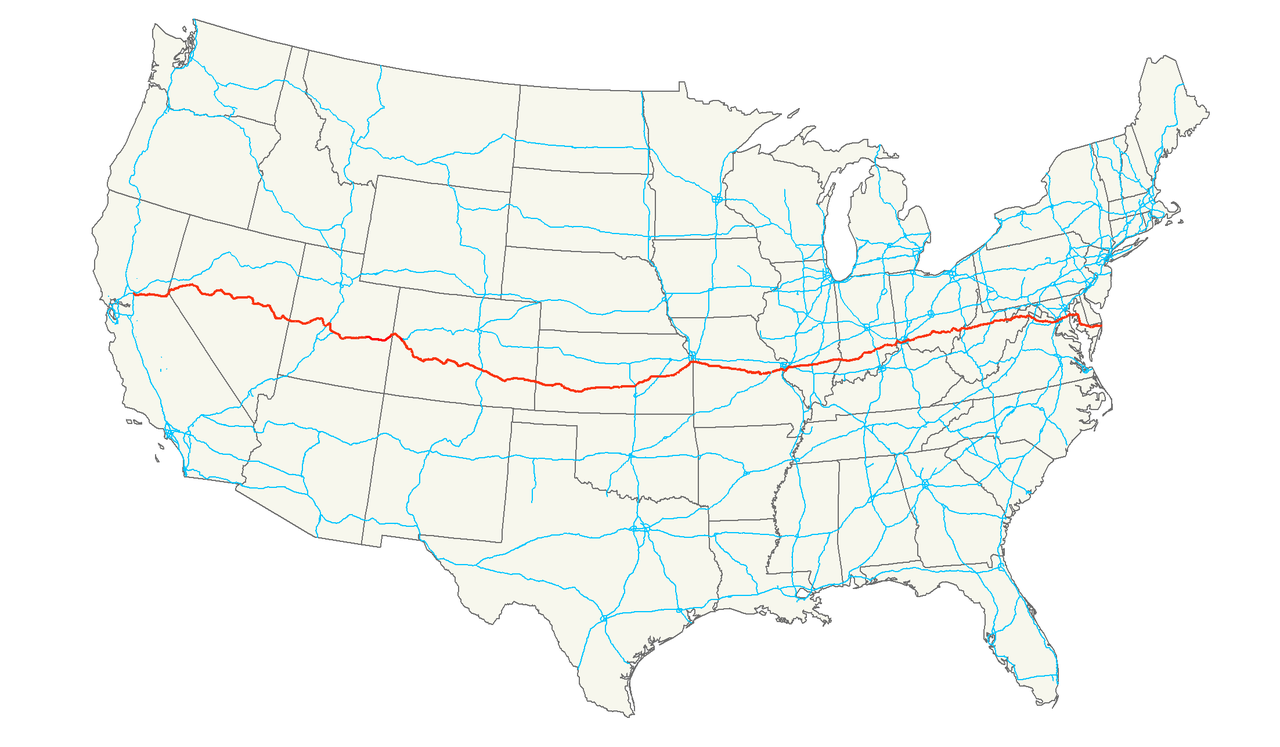
Der U.S. Highway 50 (kurz US 50) ist ein United States Highway in den Vereinigten Staaten. Er beginnt in West Sacramento an der Interstate 80 im Bundesstaat Kalifornien und endet nach 4846 Kilometern in Ocean City an der Maryland Route 528.
Maryland-MD
United States Department of Commerce
National Institute of Standards and Technology,NIST
 Science and technology
*World famous research institutions
Science and technology
*World famous research institutions
 California-CA
Illinois-IL
Maryland-MD
California-CA
Illinois-IL
Maryland-MD


 Military, defense and equipment
New jersey-NJ
New York-NY
Pennsylvania-PA
United States
Military, defense and equipment
New jersey-NJ
New York-NY
Pennsylvania-PA
United States

Das Army-Navy Game ist ein amerikanisches College-Football-Rivalitätsspiel zwischen den Army Black Knights der United States Military Academy (USMA) in West Point, New York, und den Navy Midshipmen der United States Naval Academy (USNA) in Annapolis, Maryland. Die Black Knights (Kadetten) und die Midshipmen repräsentieren jeweils die ältesten Offiziersanwärter ihrer Organisation. Daher verkörpert das Spiel den Geist der Rivalität zwischen den Streitkräften der Vereinigten Staaten. Das Spiel bildet den Abschluss der regulären College-Football-Saison und ist das dritte und letzte Spiel der Commander-in-Chief's-Trophy-Serie der Saison, an der auch die Air Force Falcons der United States Air Force Academy (USAFA) in der Nähe von Colorado Springs, Colorado, teilnehmen.
美国海军陆军橄榄球赛(Army–Navy Game)又称海陆大战,是美国西点军校的陆军黑骑士队与美国海军学院的海军学院生队之间一年一度的橄榄球比赛。首届美国海军陆军橄榄球赛于1890年举行[1]。黑骑士队(或学员队)和海军少尉队分别代表着各自军种最古老的军官选拔来源。因此,这场比赛体现了美国武装部队军种间对抗的精神。这场比赛标志着大学橄榄球常规赛的结束,也是本赛季总司令奖杯系列赛的第三场和最后一场比赛,其中还包括科罗拉多州科罗拉多斯普林斯附近美国空军学院(USAFA)的空军猎鹰队。