 India
India


 Military, defense and equipment


 Military, defense and equipment
Navigation Satellite System

 Science and technology
Indian Regional Navigation Satellite System,IRNSS
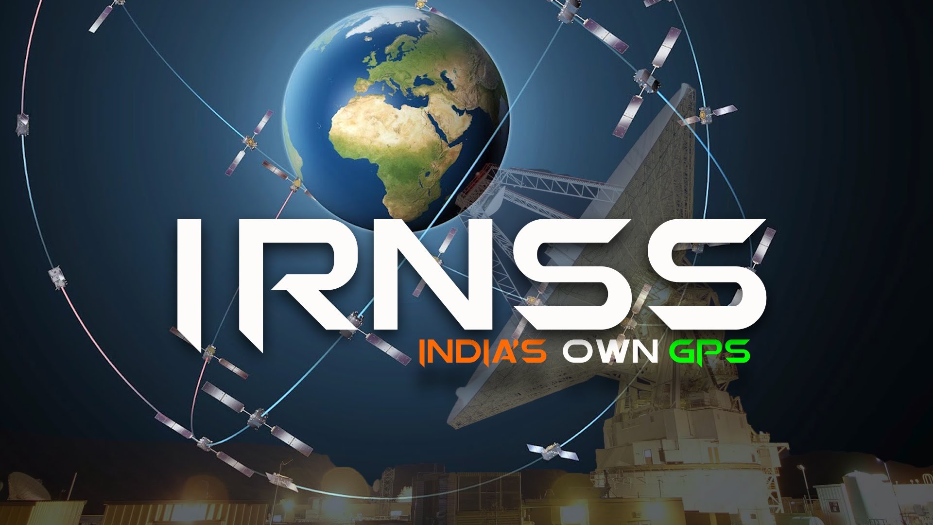
Indian Regional Navigation Satellite System (IRNSS, deutsch: Indisches regionales Satellitennavigationssystem), auch Navigation Indian Constellation (NAVIC), ist ein regionales indisches Satellitennavigationssystem. Im Gegensatz zu globalen Systemen wie dem US-amerikanischen GPS und dem europäischen Galileo-System ist das IRNSS nur für die Nutzung in Indien und angrenzenden Regionen ausgelegt. Es reicht bis ca. 1500 km über die geopolitischen Grenzen von Indien hinaus.


11 years ago
3 years ago


