Deutsch-Chinesische Enzyklopädie, 德汉百科
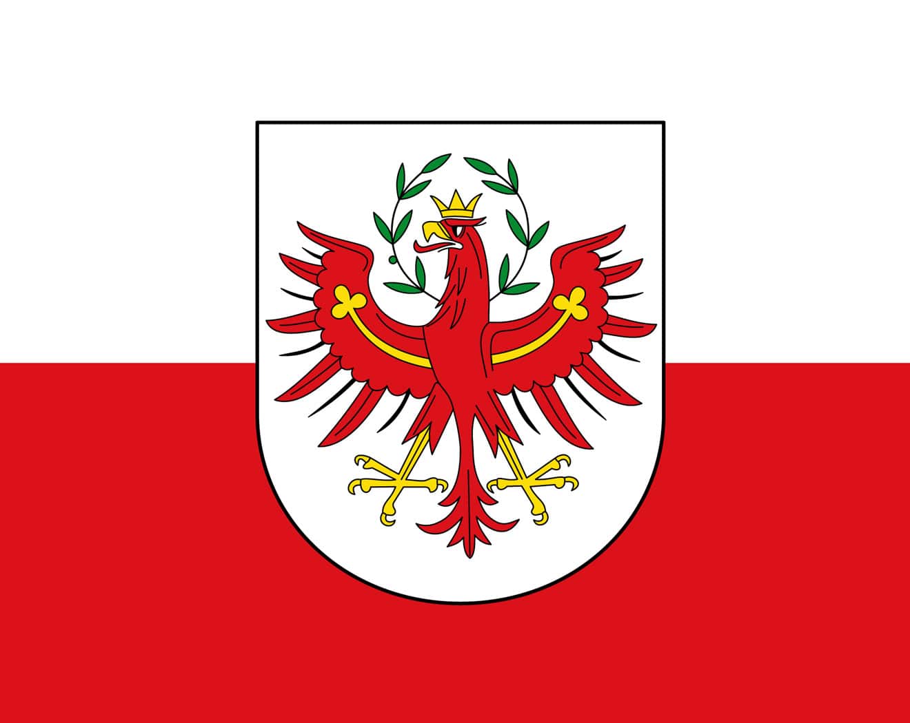
 Tyrol
Tyrol
 Architecture
 Vacation and Travel
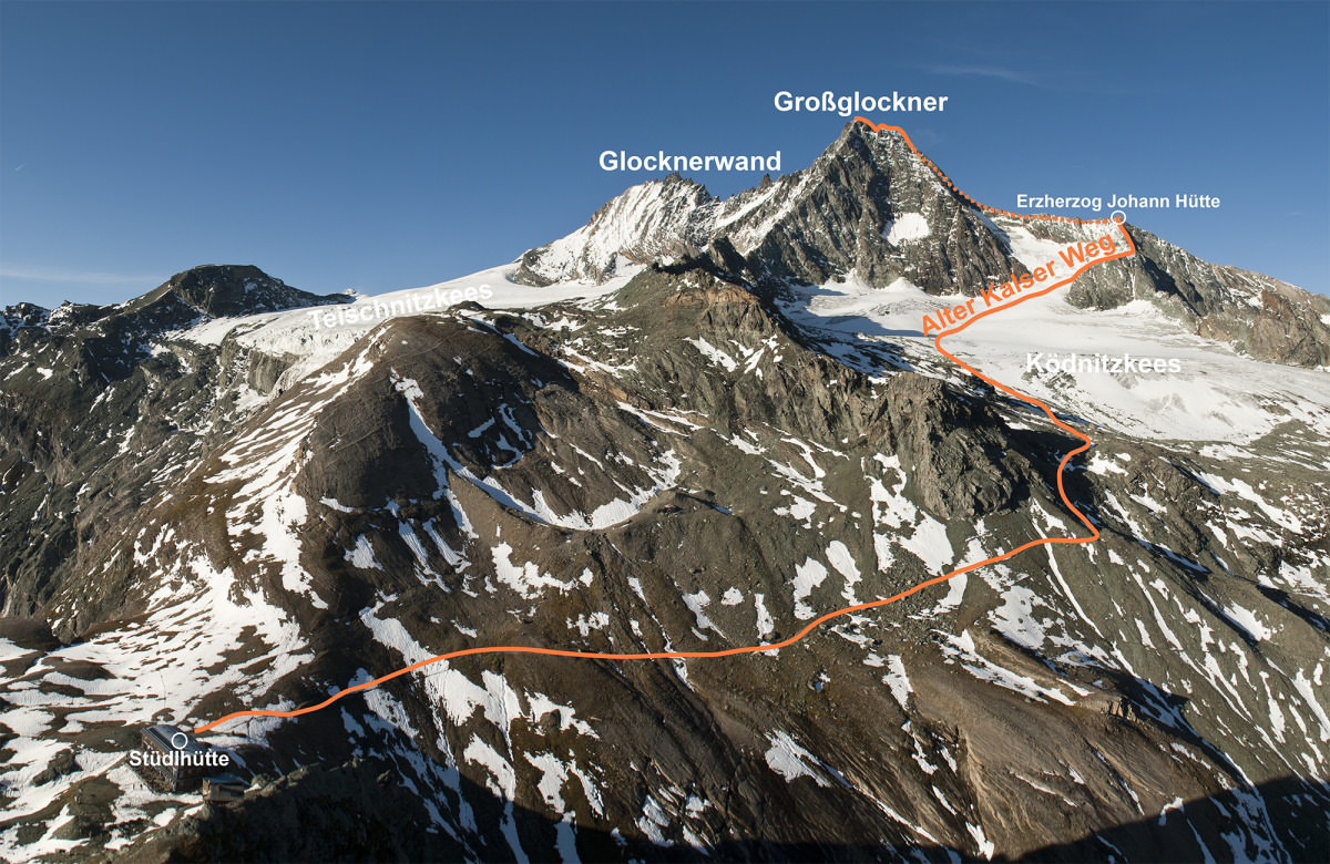
 Geography
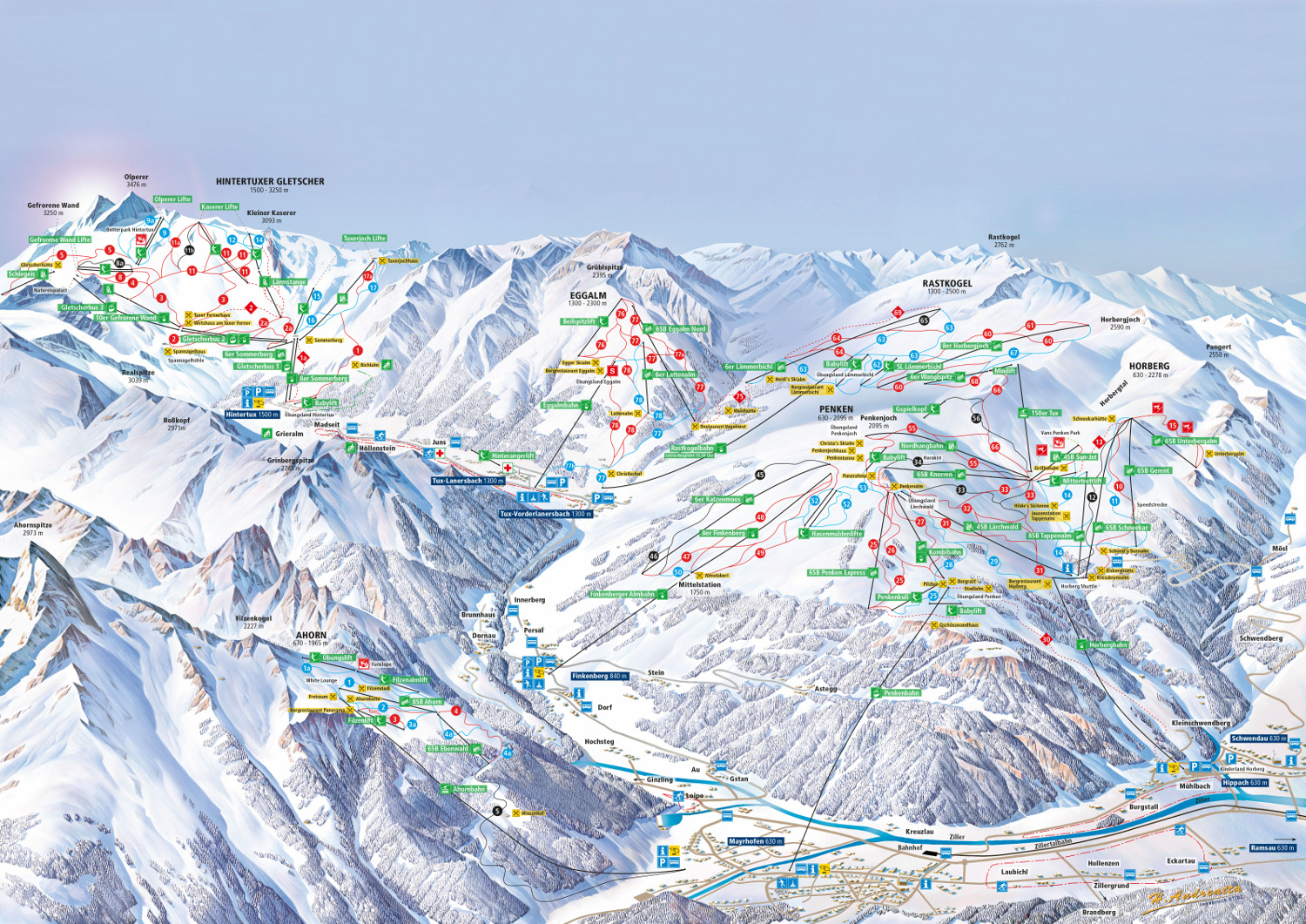
 Ski vacation
 International cities
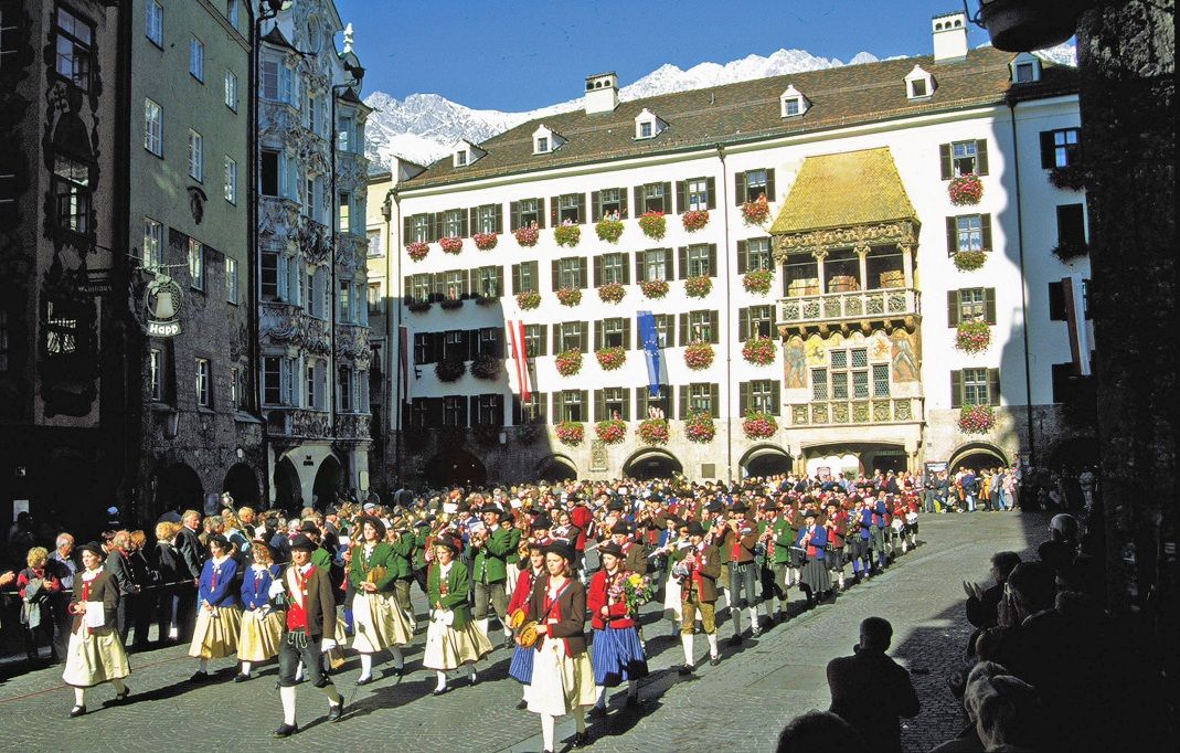
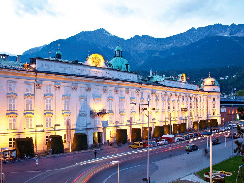
奥地利西南部的城市蒂罗尔州的首府,是世界著名的旅游和冬季滑雪运动胜地。曾经是1964年和1976年两届奥林匹克冬季运动会的比赛地。因斯布鲁克位于阿尔卑斯山的腹地,地处交通要道距离维也纳733公里,萨尔茨堡164公里,德国慕尼黑140公里。美丽的茵河(Inn)从市区穿过。Bruck在德文中是桥的意思。因此城市的名称意为“茵河上的桥”。
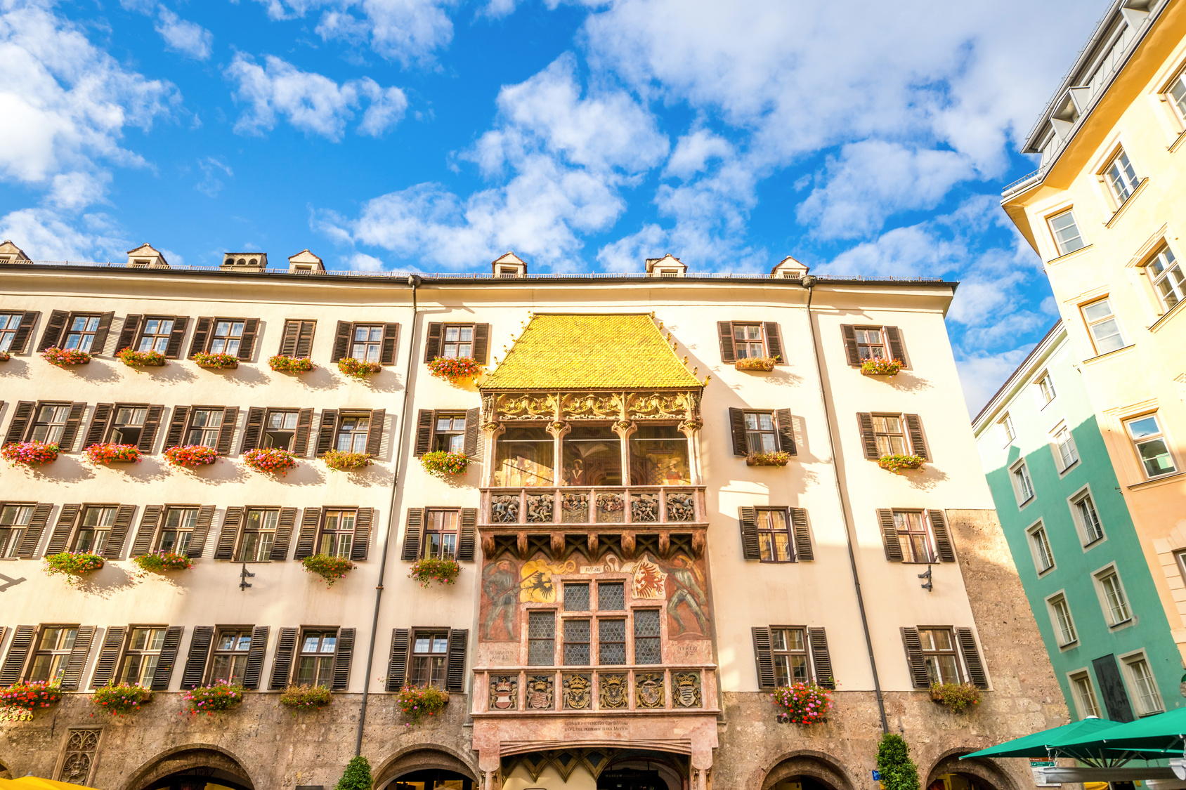
Innsbruck (im lokalen bairisch-österreichischen Dialekt Innschbrugg ausgesprochen) ist eine Großstadt im Westen Österreichs und Hauptstadt des Bundeslandes Tirol. Ihr Name verweist auf die Brücke über den Inn. Wahrzeichen der Stadt ist das Goldene Dachl.
Mit 131.059 Einwohnern (Stand 1. Jänner 2021) ist Innsbruck die bevölkerungsreichste Stadt Tirols und zugleich fünftgrößte Stadt Österreichs (nach Wien, Graz, Linz und Salzburg). In ihrem Ballungsraum leben rund 300.000 Menschen.[2] Zusätzlich haben etwa 30.000 Studierende der Innsbrucker Universität, der Medizinischen Universität Innsbruck und sonstige Personen hier einen Nebenwohnsitz; täglich wurden 2019 rund 3000 Übernachtungen von Städtetouristen gebucht.
 Religion

 Music
Music
 Performing Arts

 Bavaria
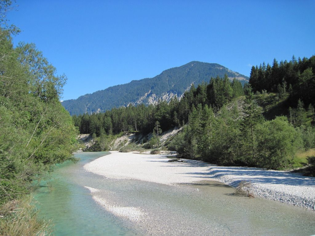
伊薩(ISAR)河位於德國巴伐利亞邦,屬於德國8大水系中之多瑙河(Donau)流域,發源於奧地利境內海拔約1756公尺的威登格比爾格山 (Karwendelgebirge),沿途流經Kochler山脈、Mangfall山和許多德國大城,最後注入海拔約300公尺的多瑙河。全長約 260公里,流域面積共約8960平方公里。上游河段部分較為接近原始林區,中、下游之土地利用較高,有工業大城慕尼黑等高人口密度之城市。伊薩河於德奧 交界之處,水流湍急,兩岸經常受到沖蝕,也因此河道不斷改變加寬,導致洪水發生;中、下游則多河灘和沙岸。(Quelle: eem.pcc.gov.tw)
 Animal world
 Transport and traffic
 Burgenland
 Carinthia
 Lower Austria
 Upper Austria
Austria
Upper Austria
Austria
 Salzburg
 Styria
Tyrol
Styria
Tyrol
 Companies
 Germany, Austria, Switzerland
 Vorarlberg
 Vienna